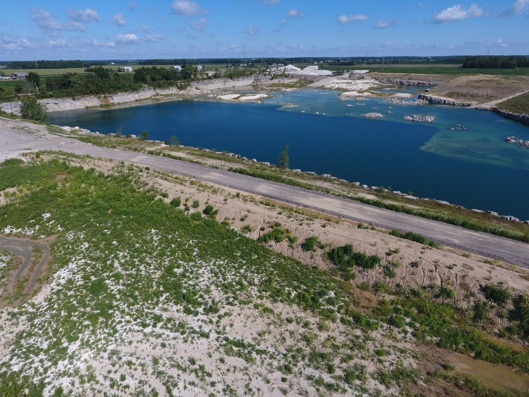
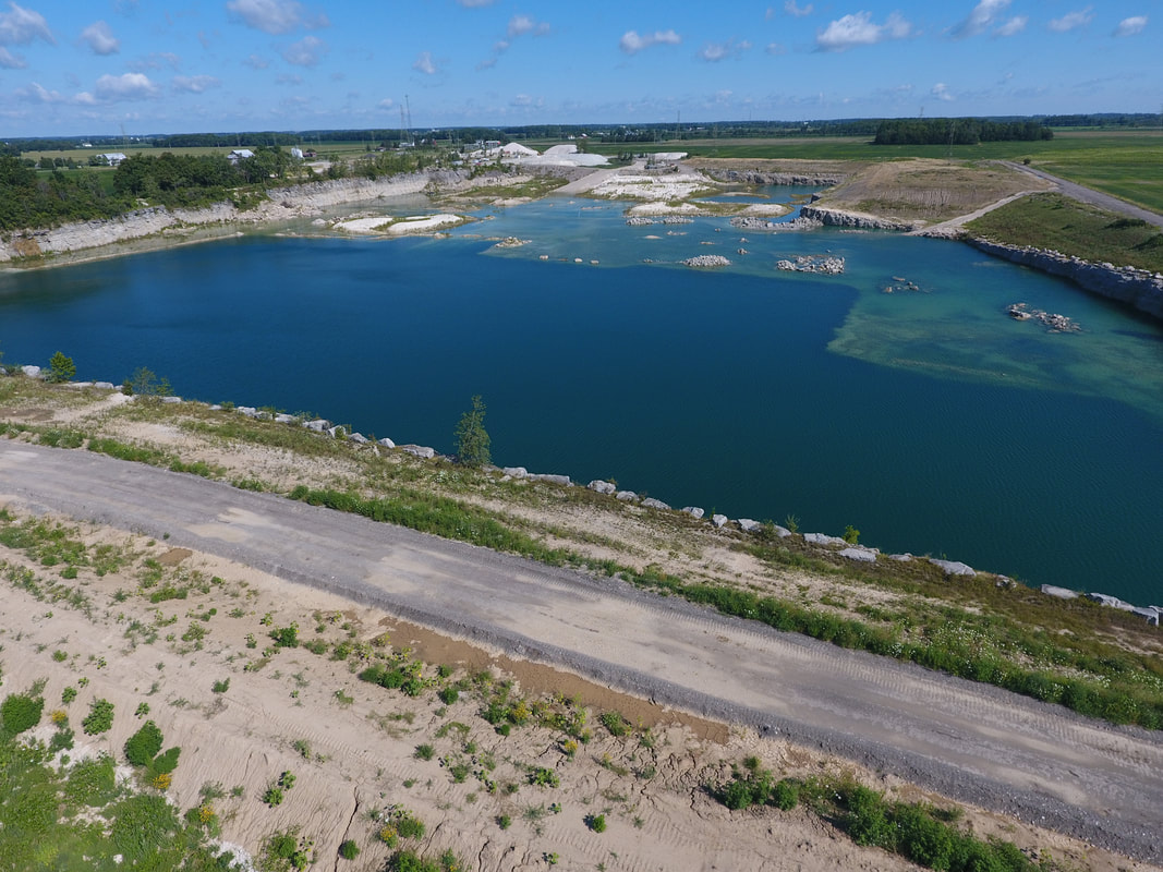
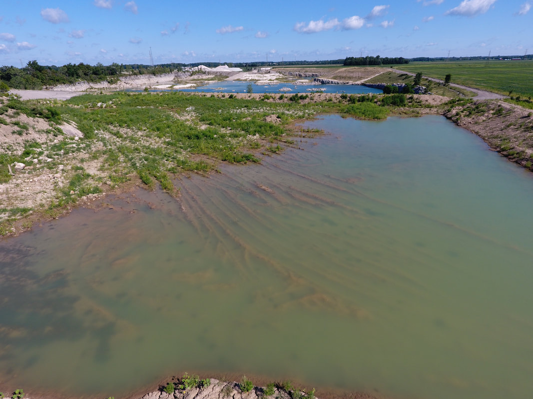
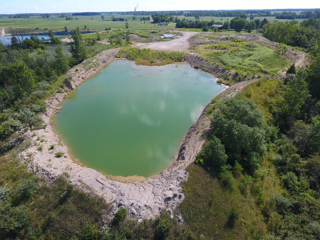
PHOTO GALLERY
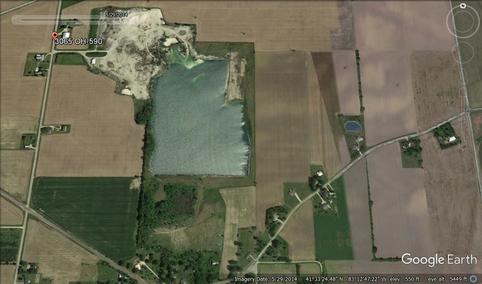
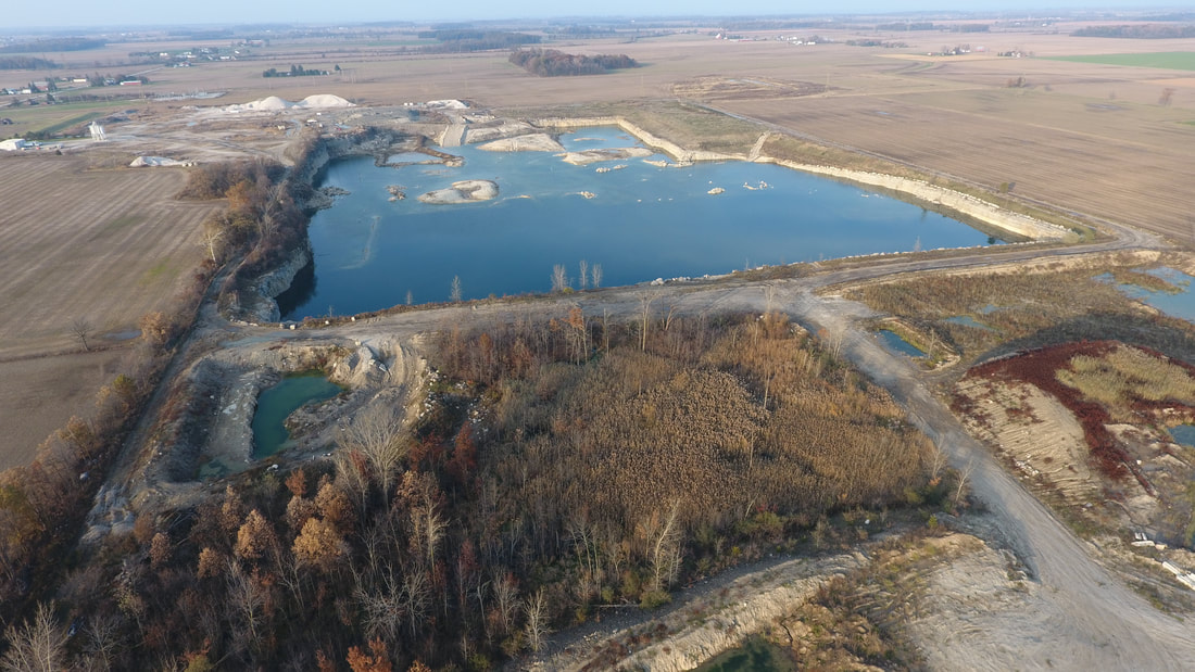
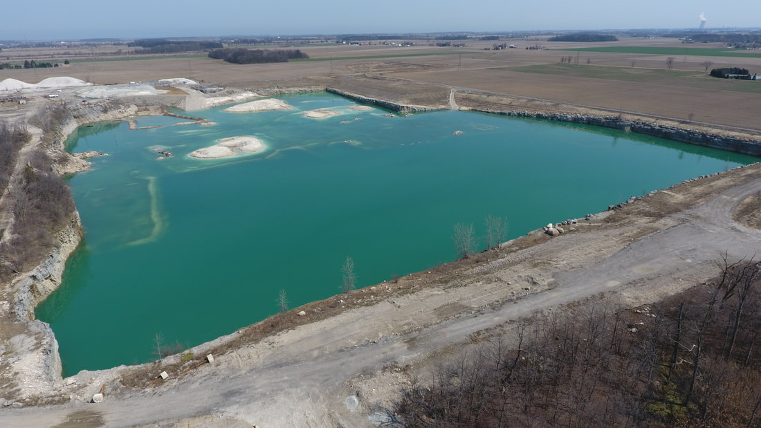
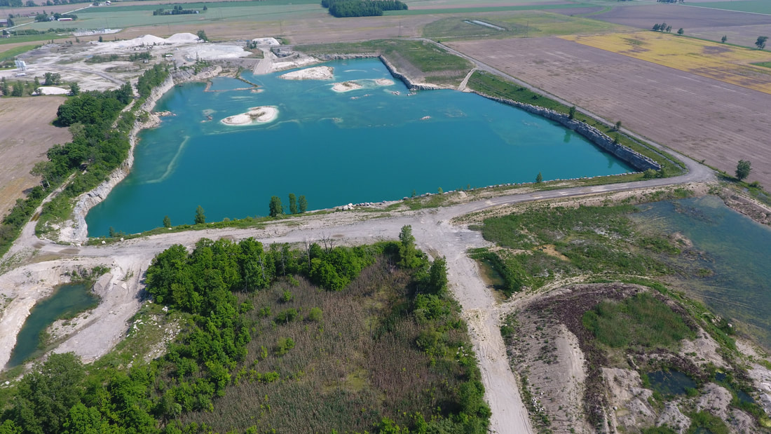
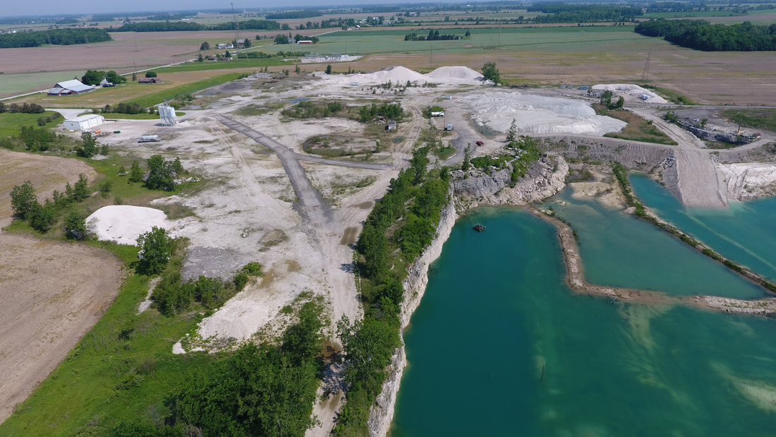
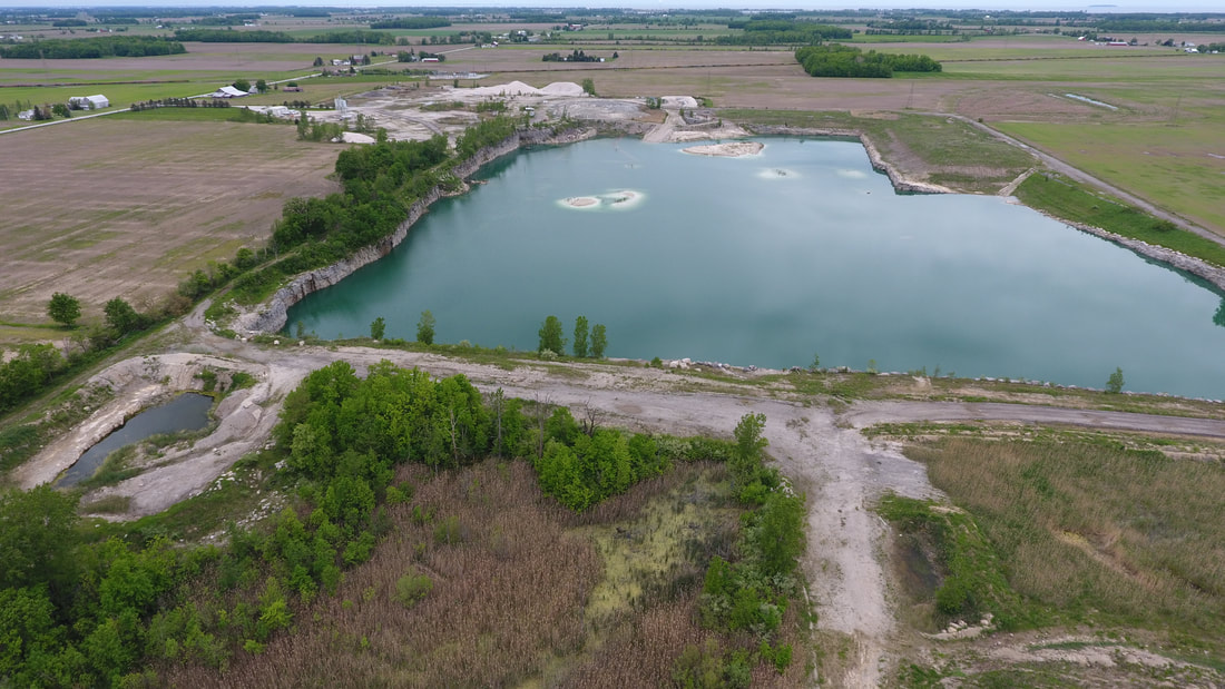
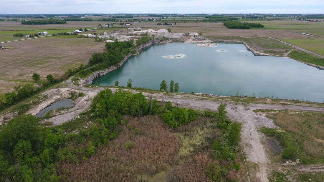
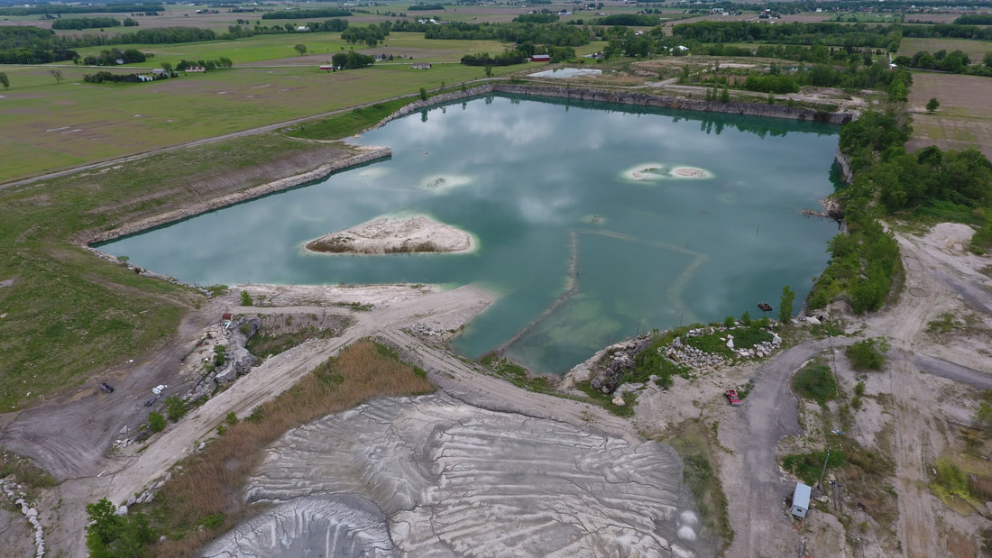
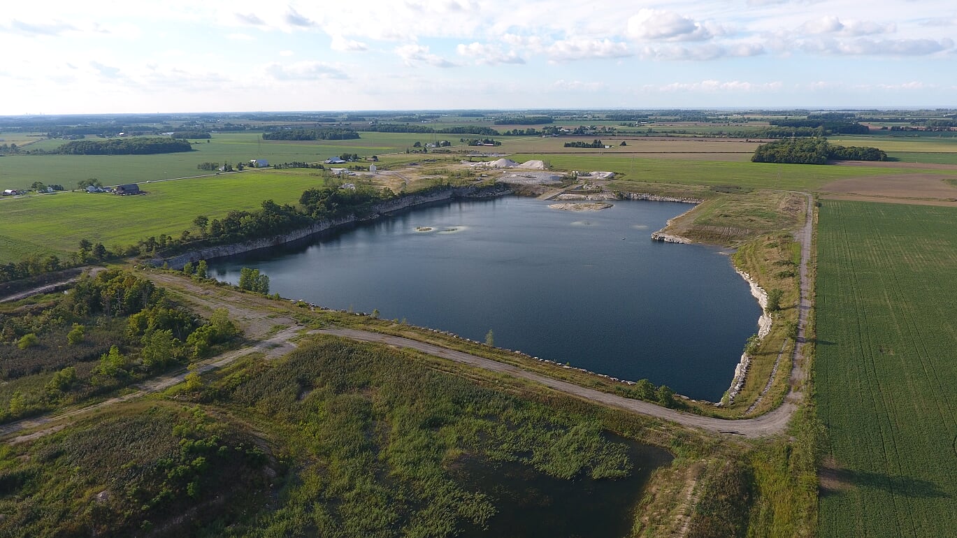
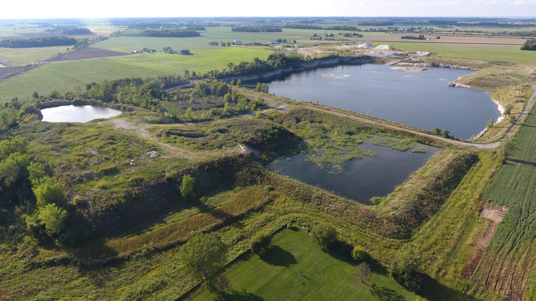
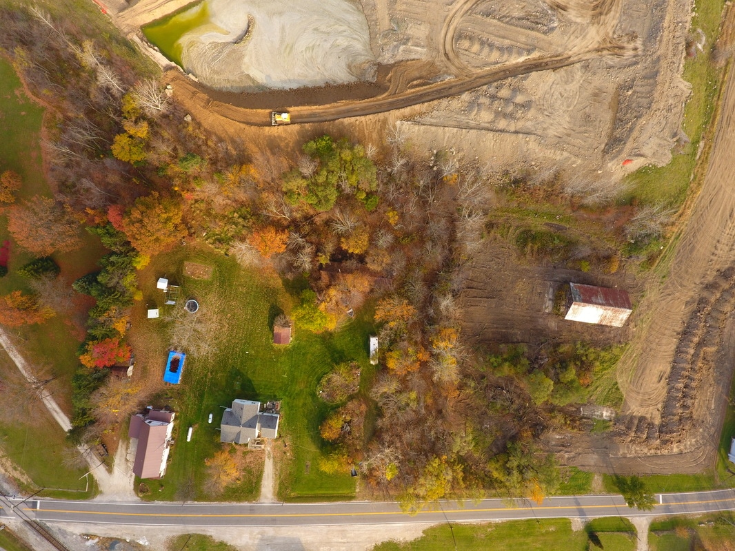
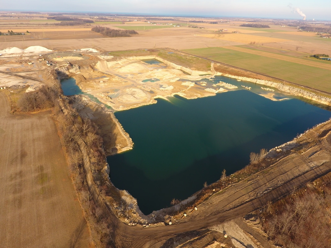
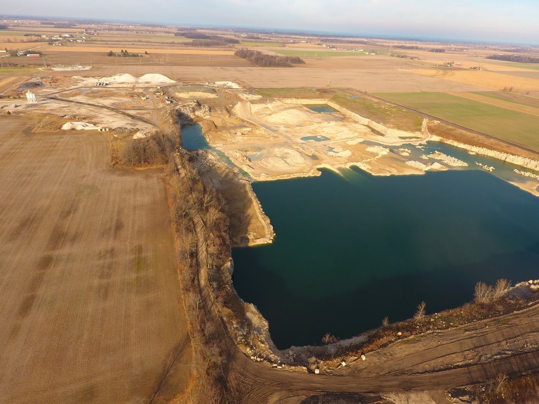
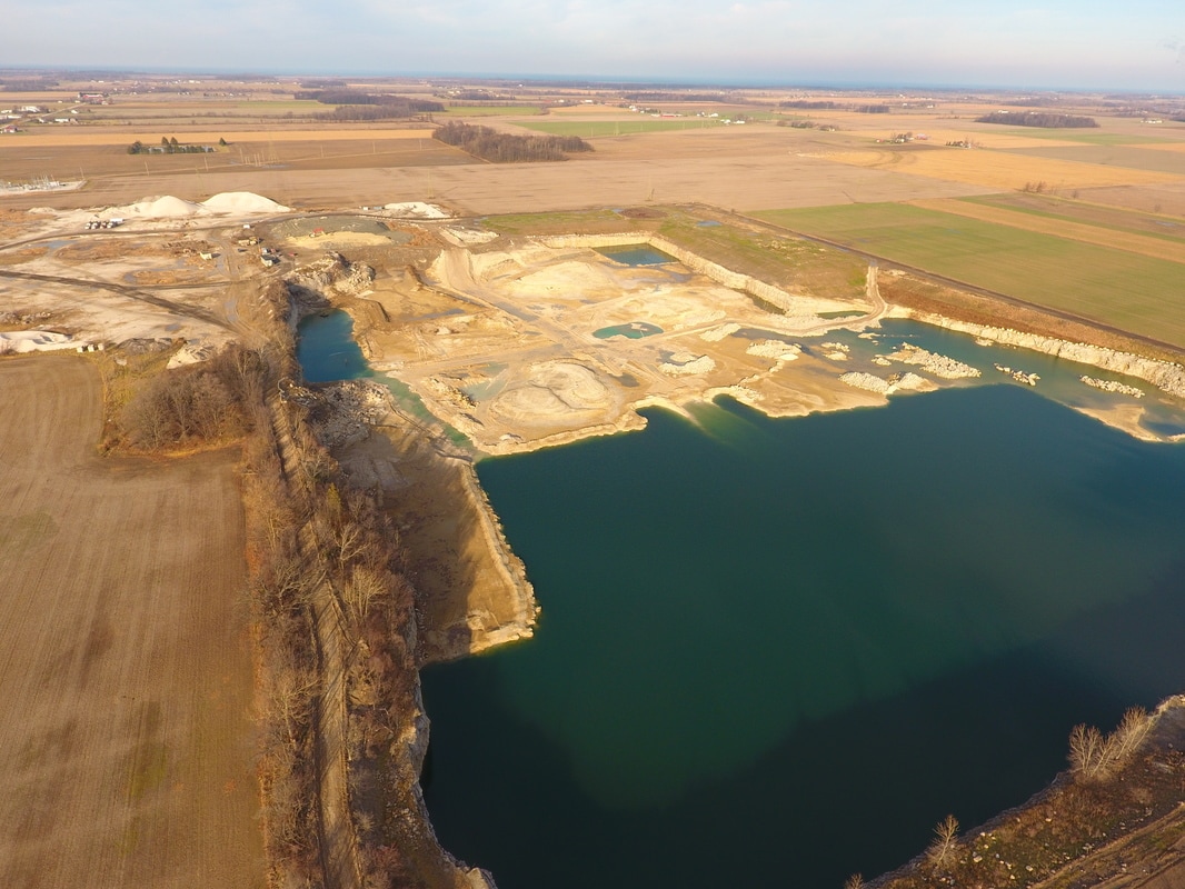
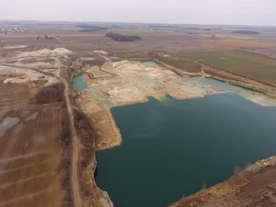
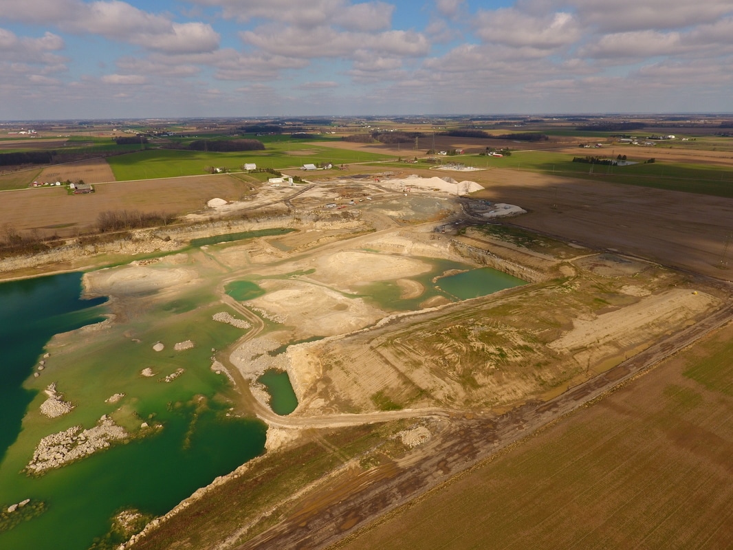
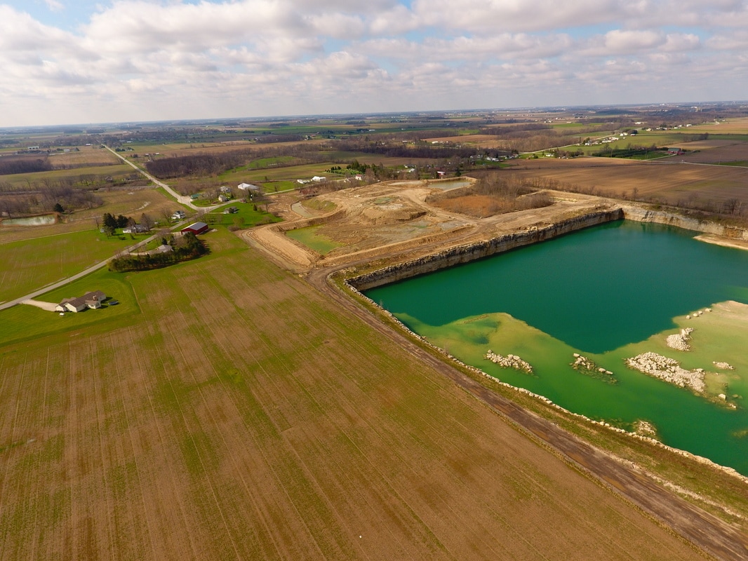
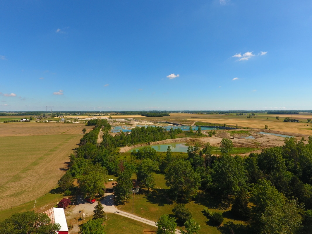
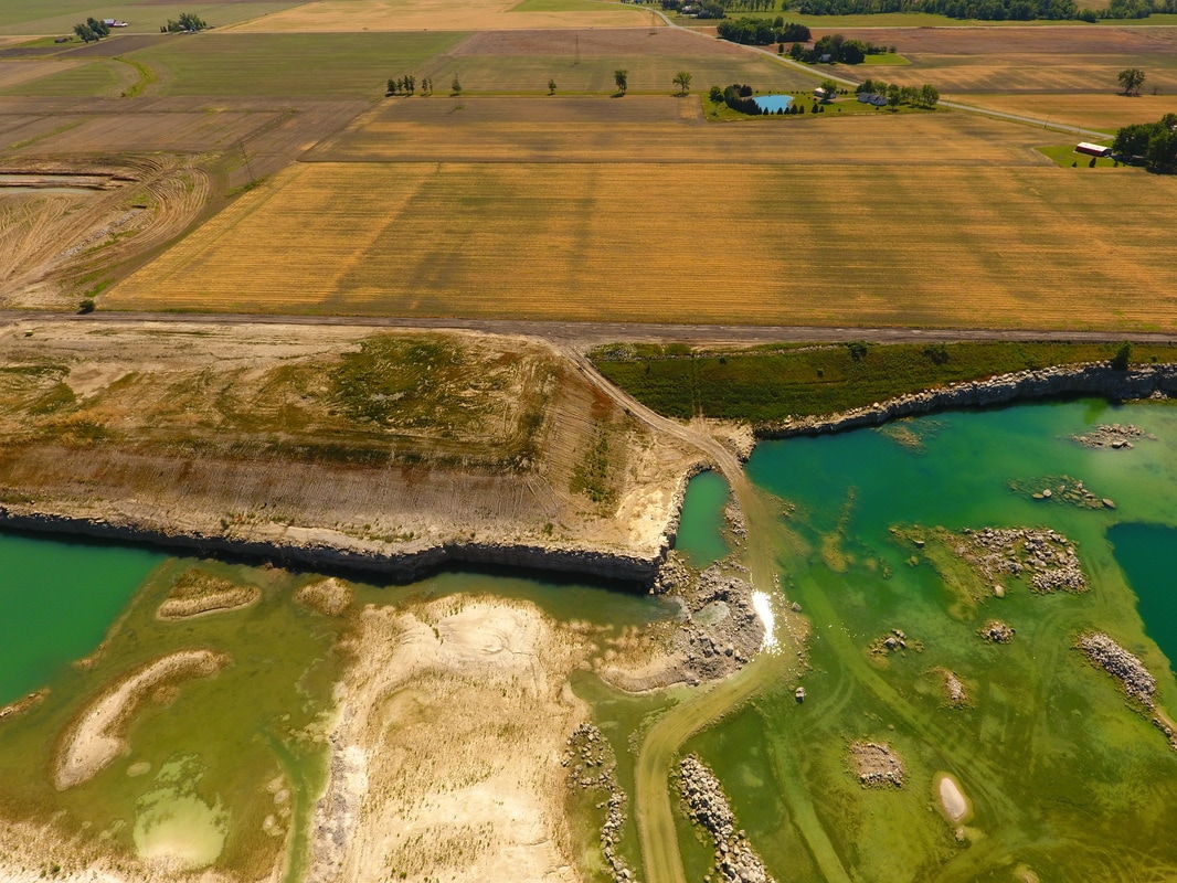
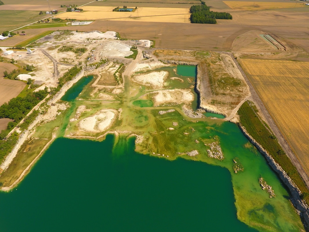
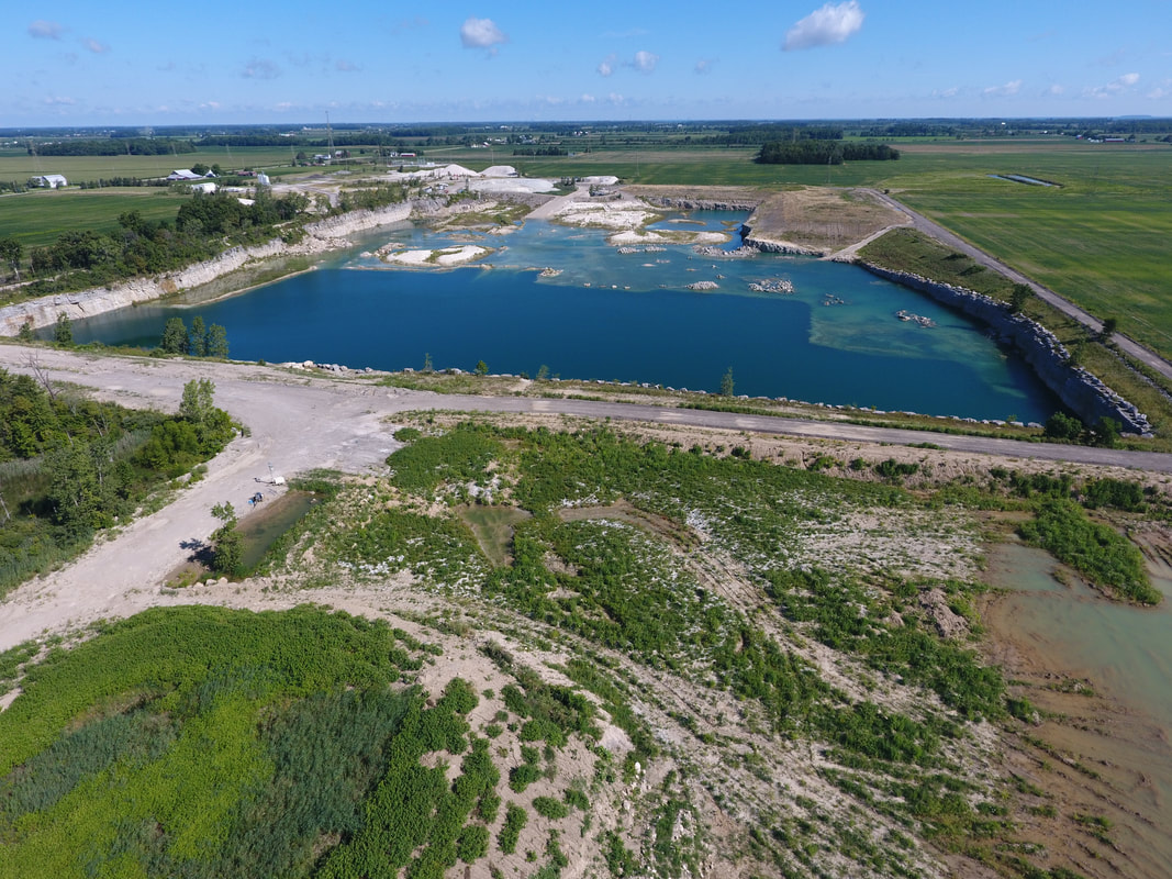
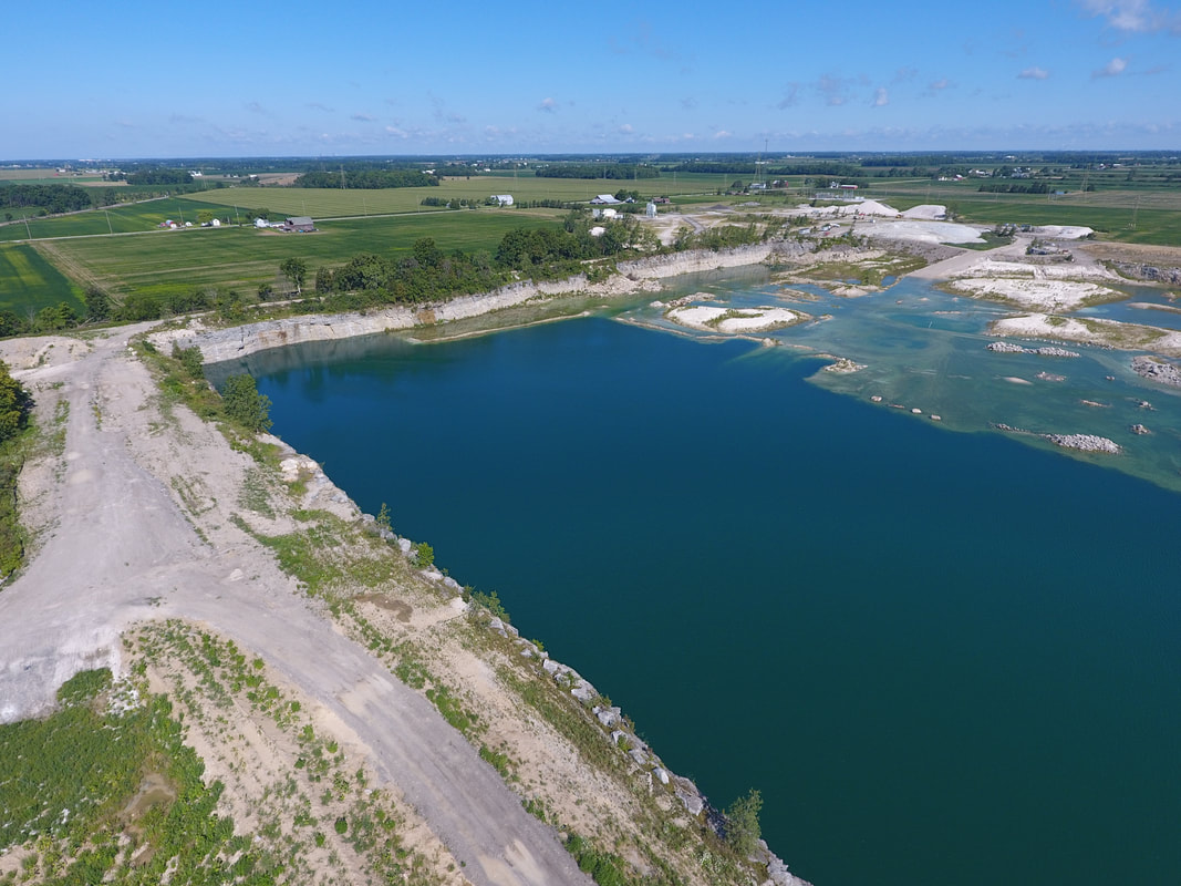
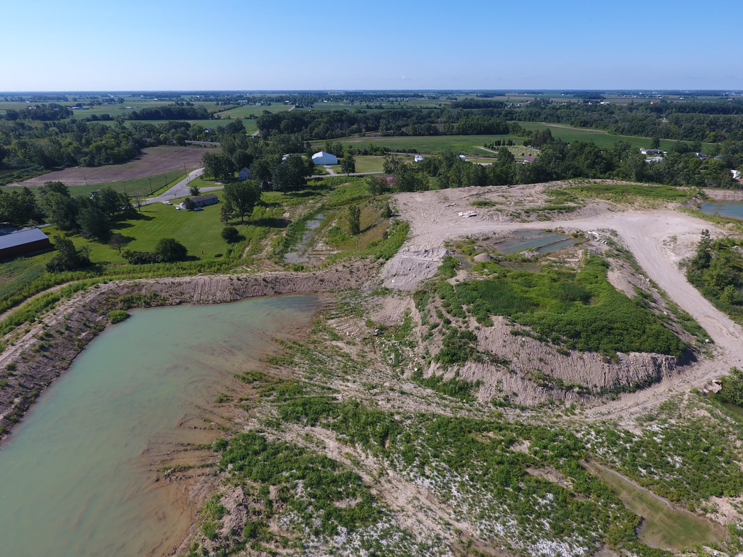
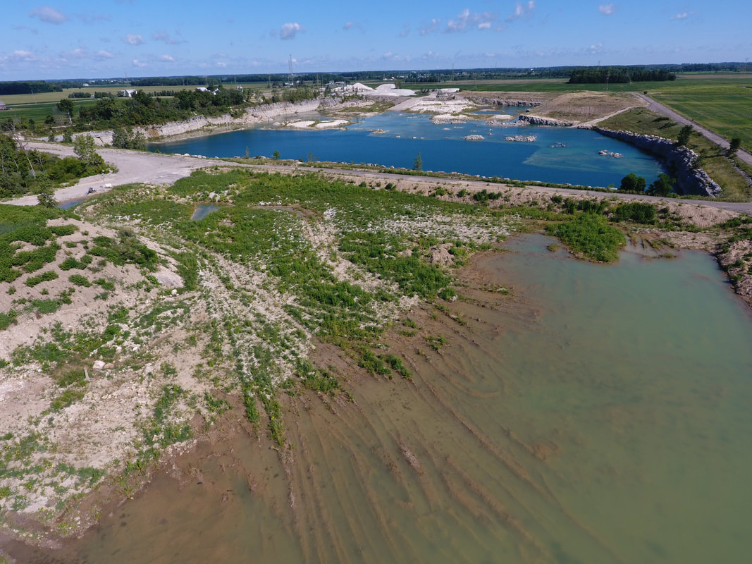
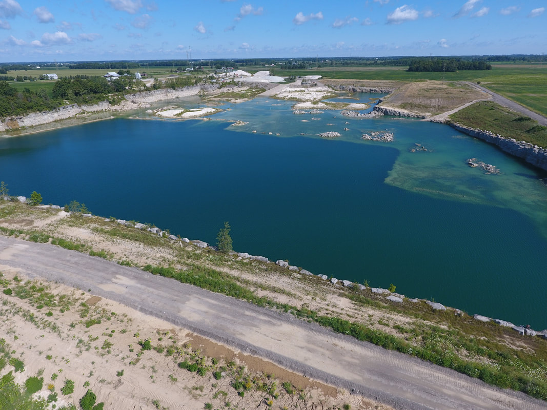
Google Earth image from 05.29.14 a few months prior to Rocky Ridge Development LLC purchasing the quarry property. Note: the large rectangular area that looks white (windy...waves rolling on water) is the 40 acre quarry full of water. You can also see a natural area (trees etc) to the south of the quarry (bottom of photo) and the area around the quarry pit itself is comprised of stone outcroppings.
|
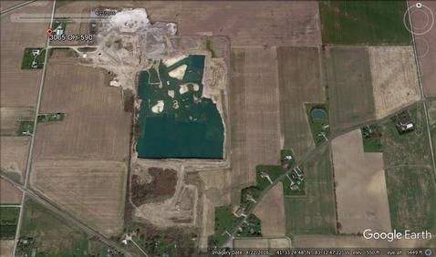
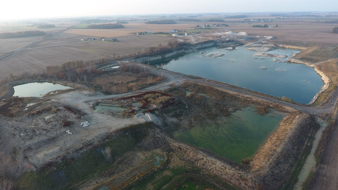
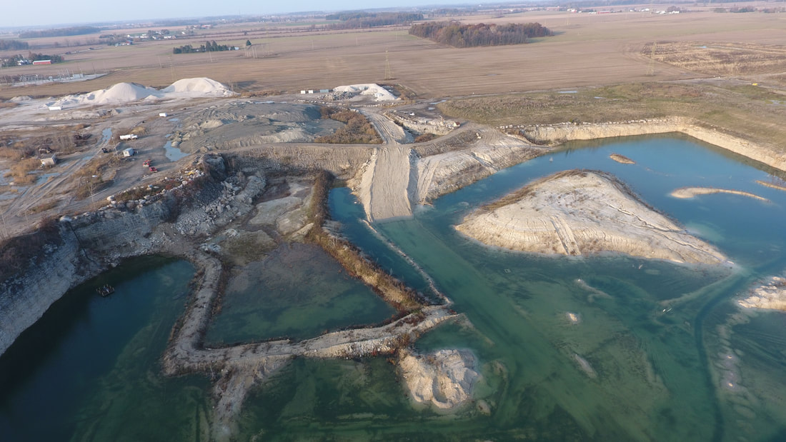
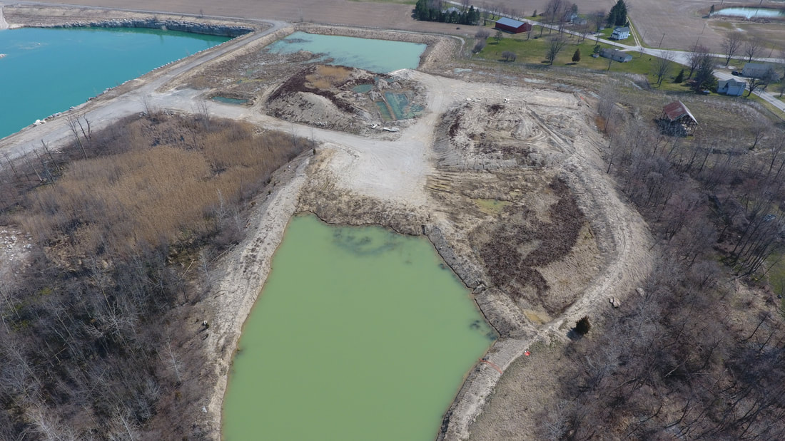
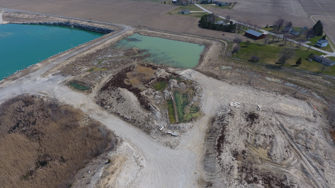
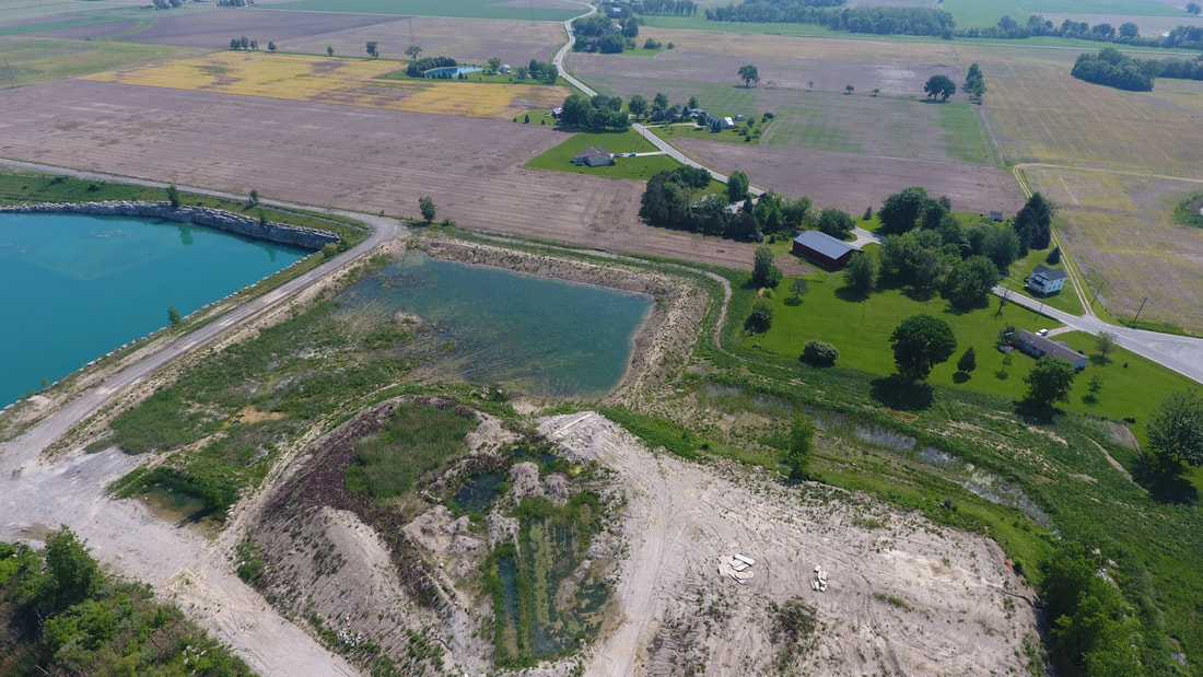
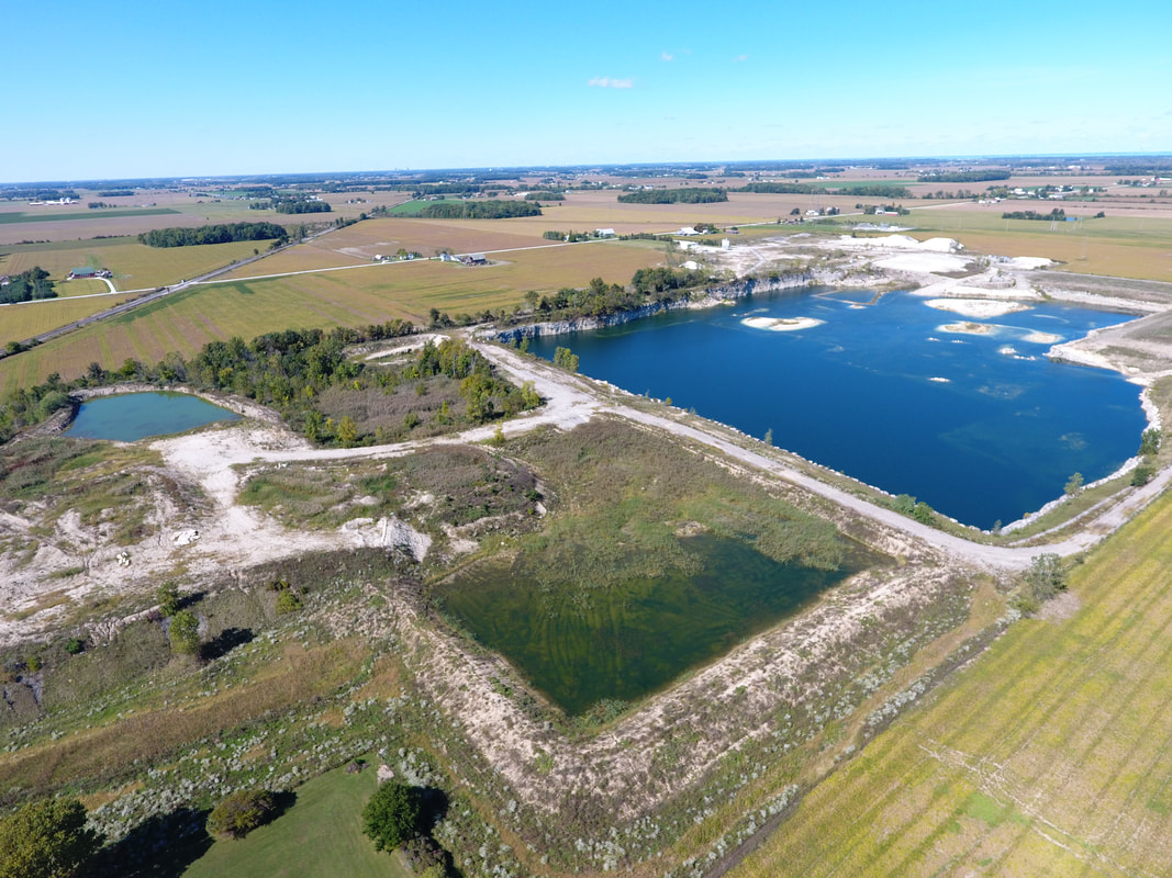
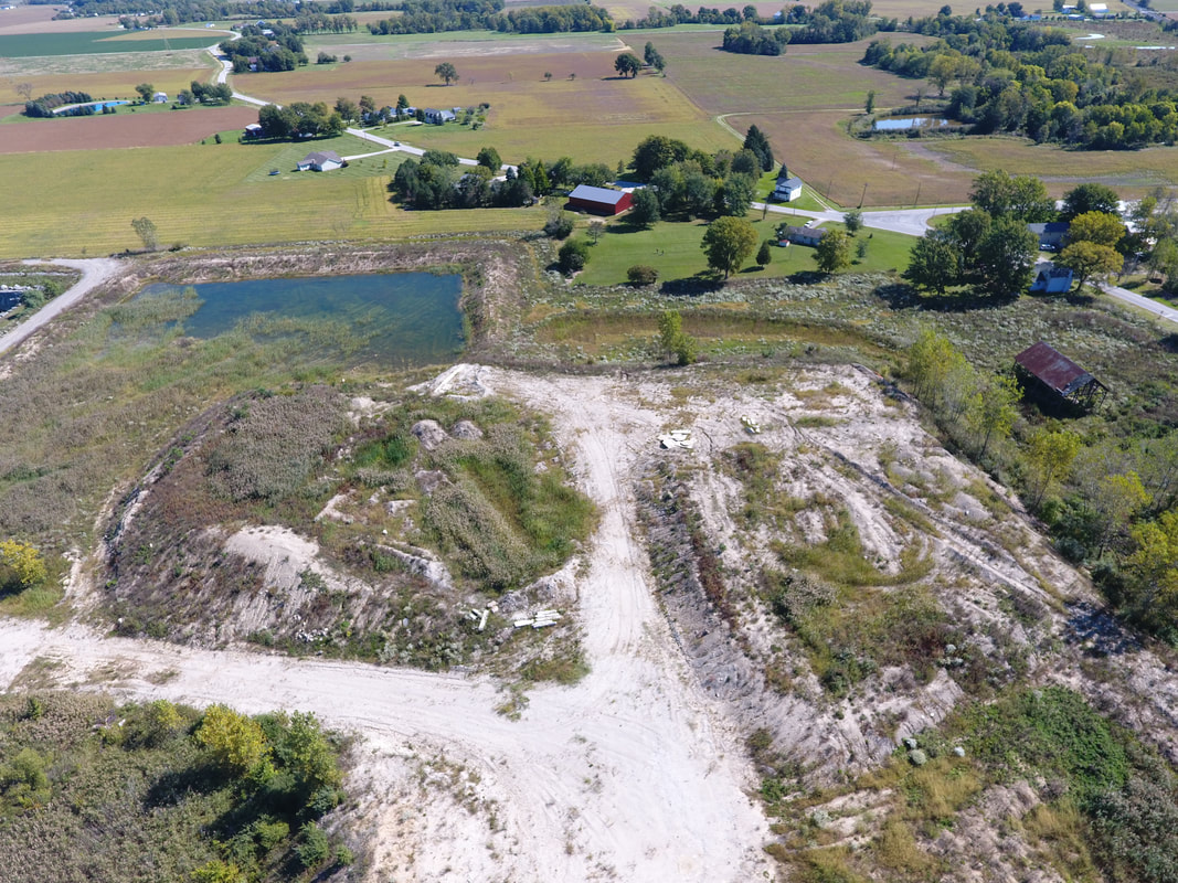
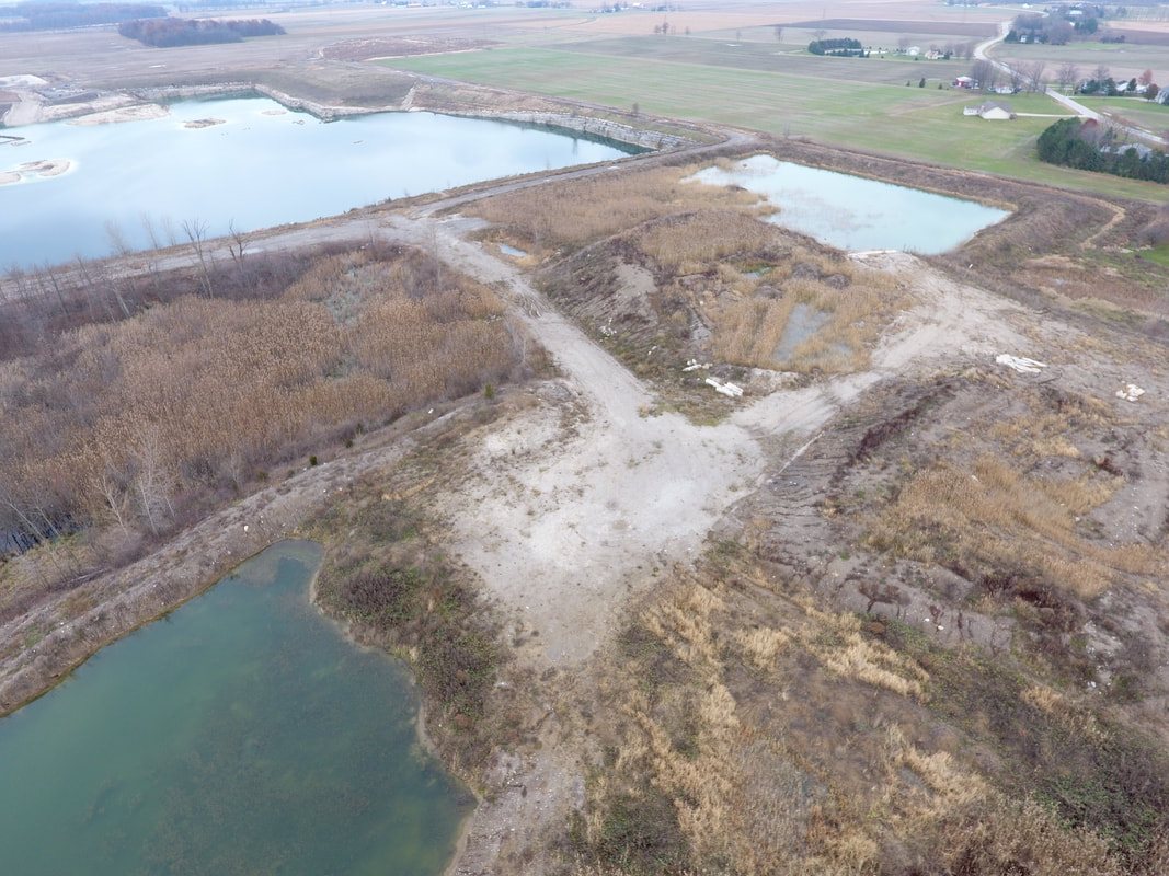
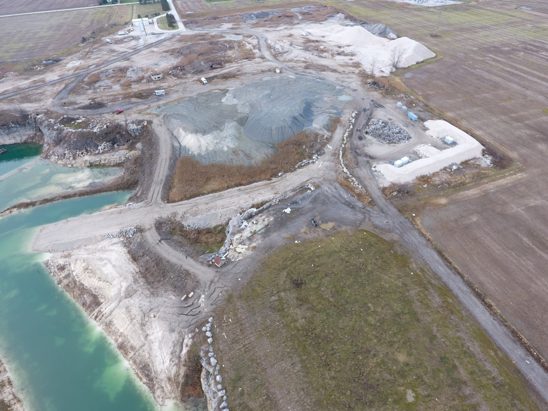
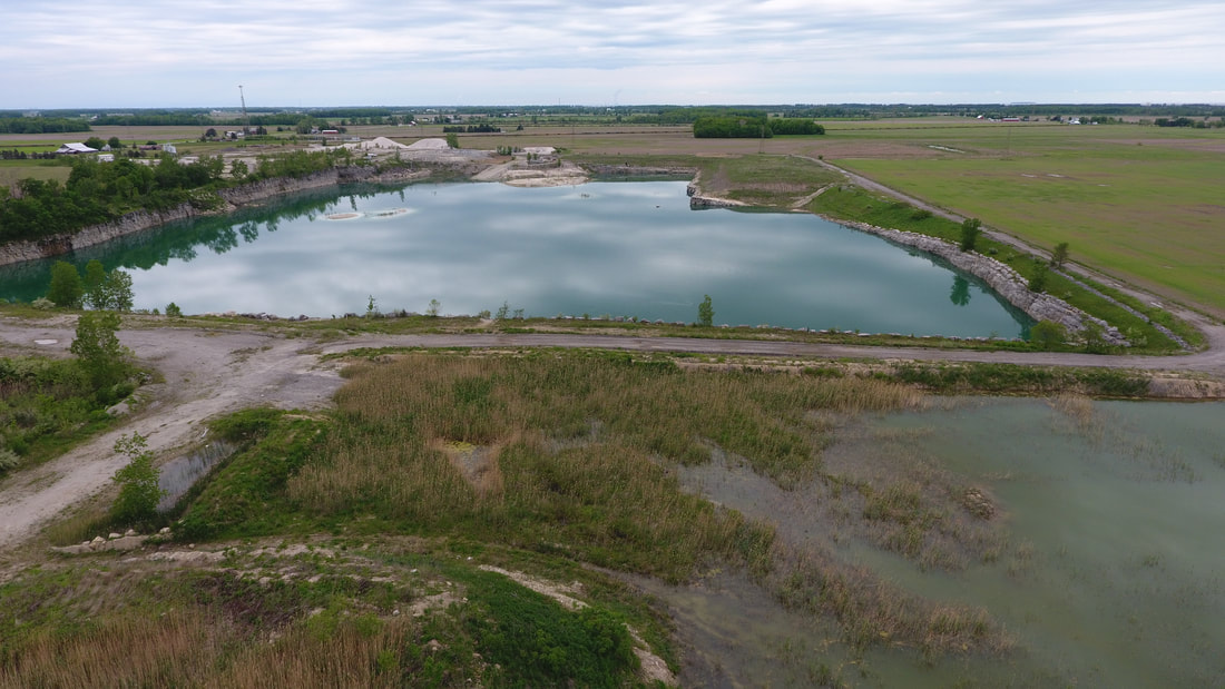
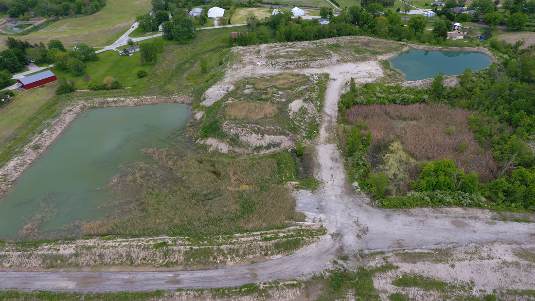
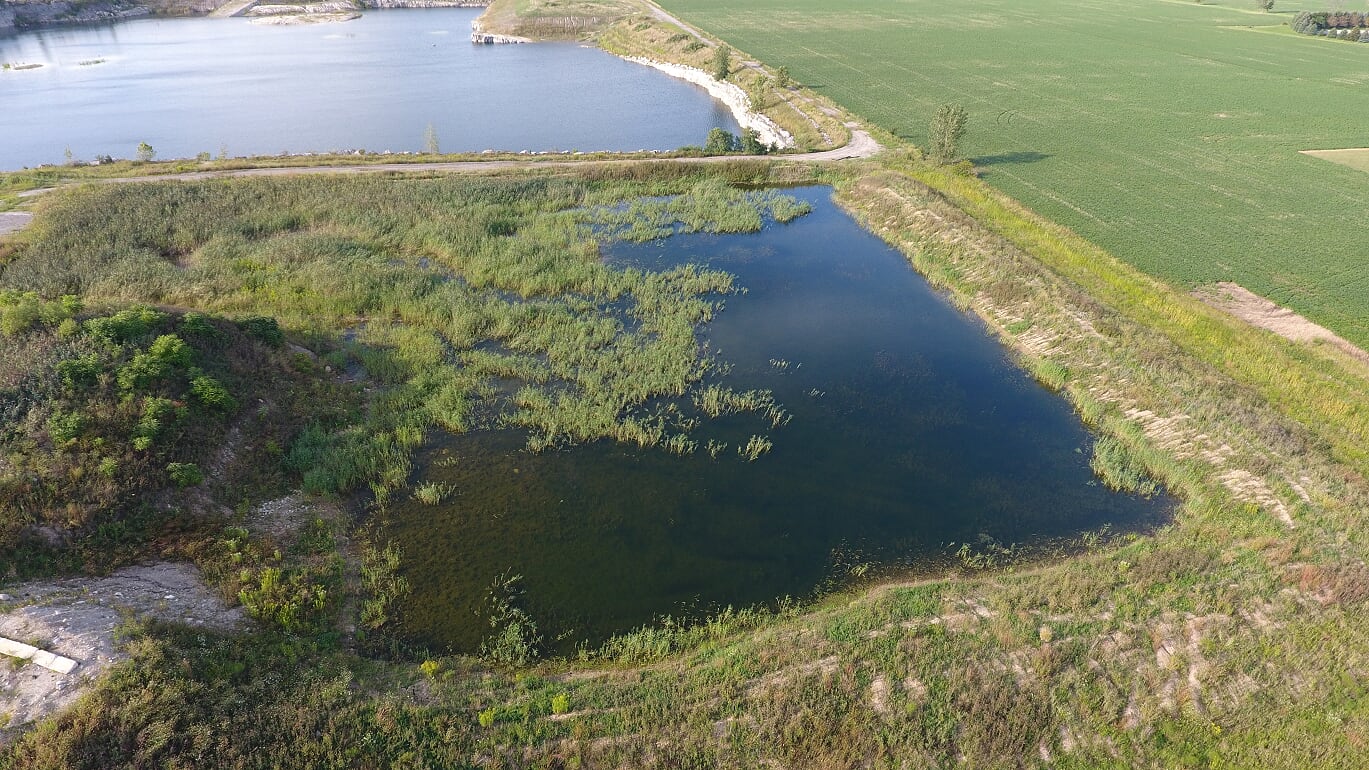
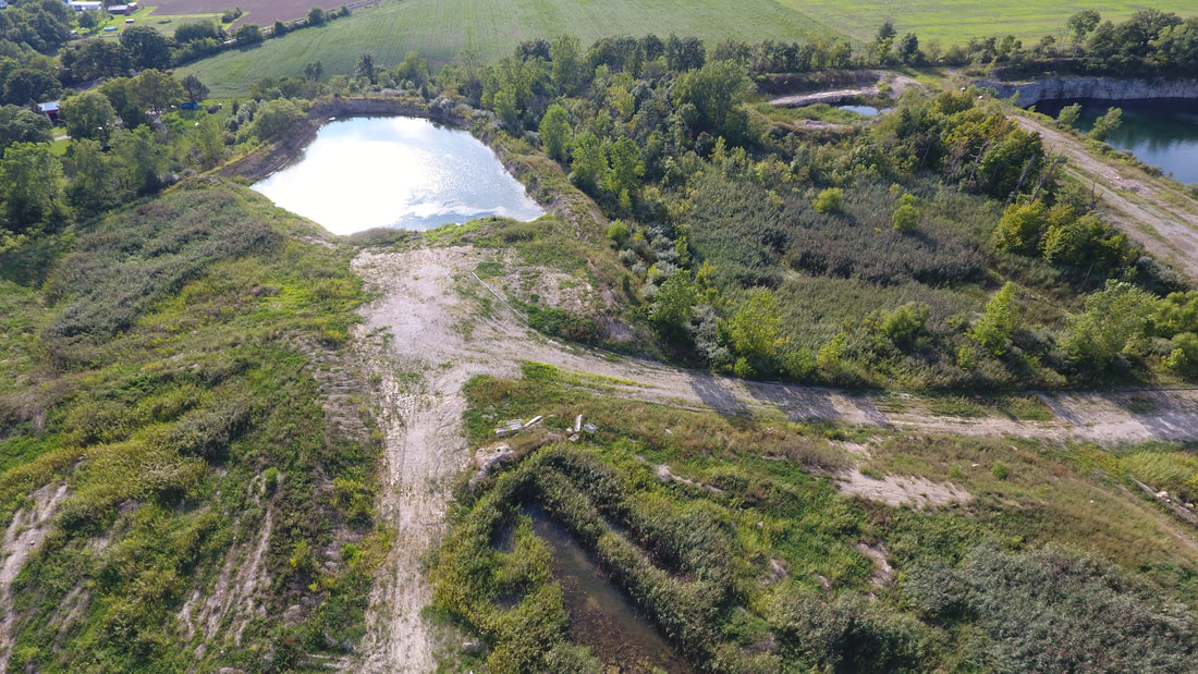
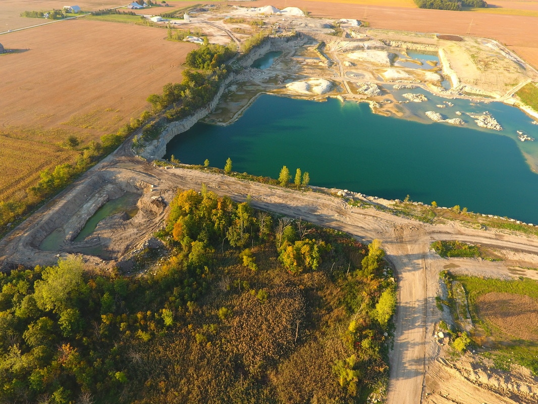
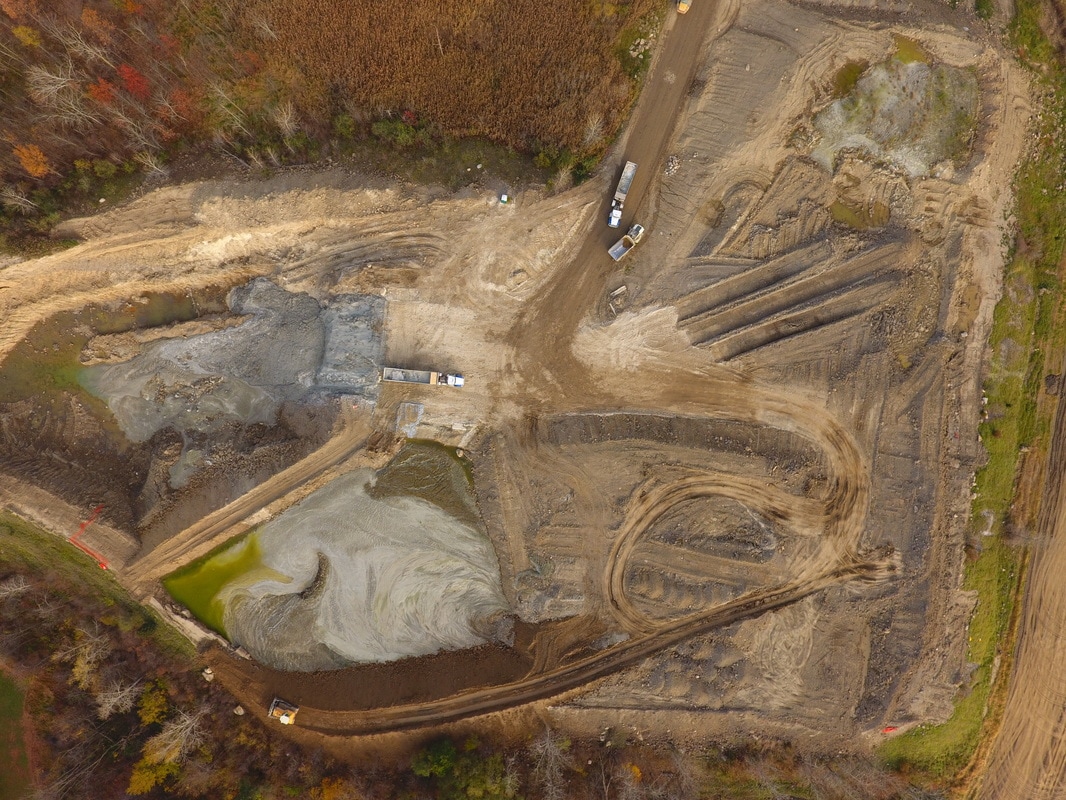
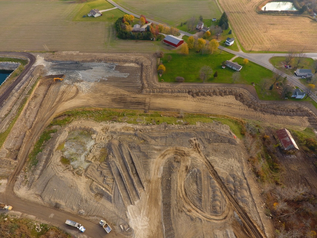
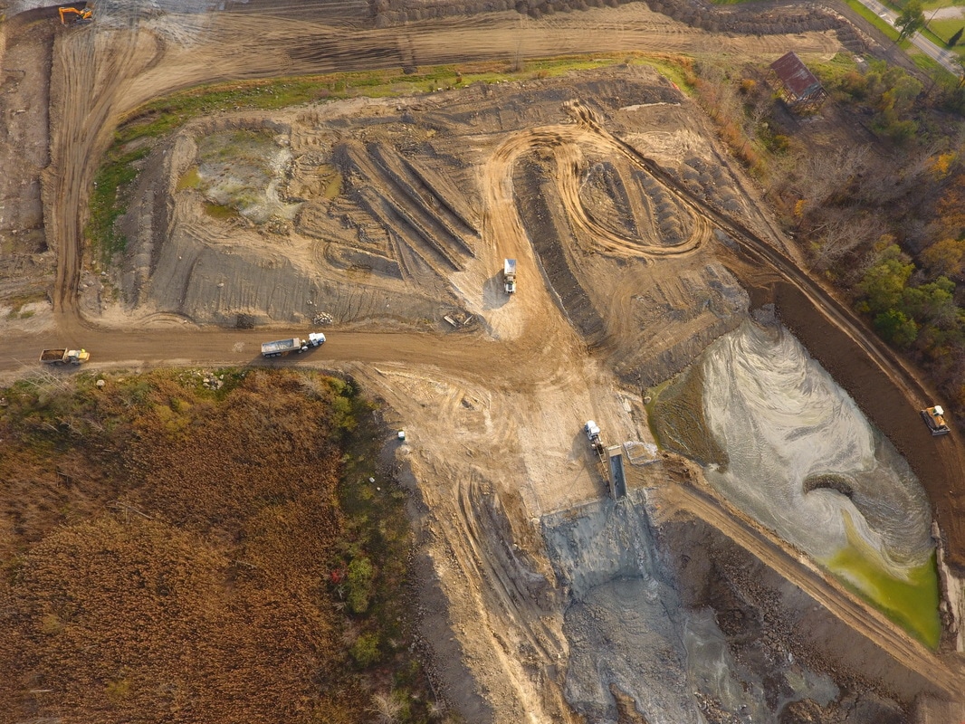
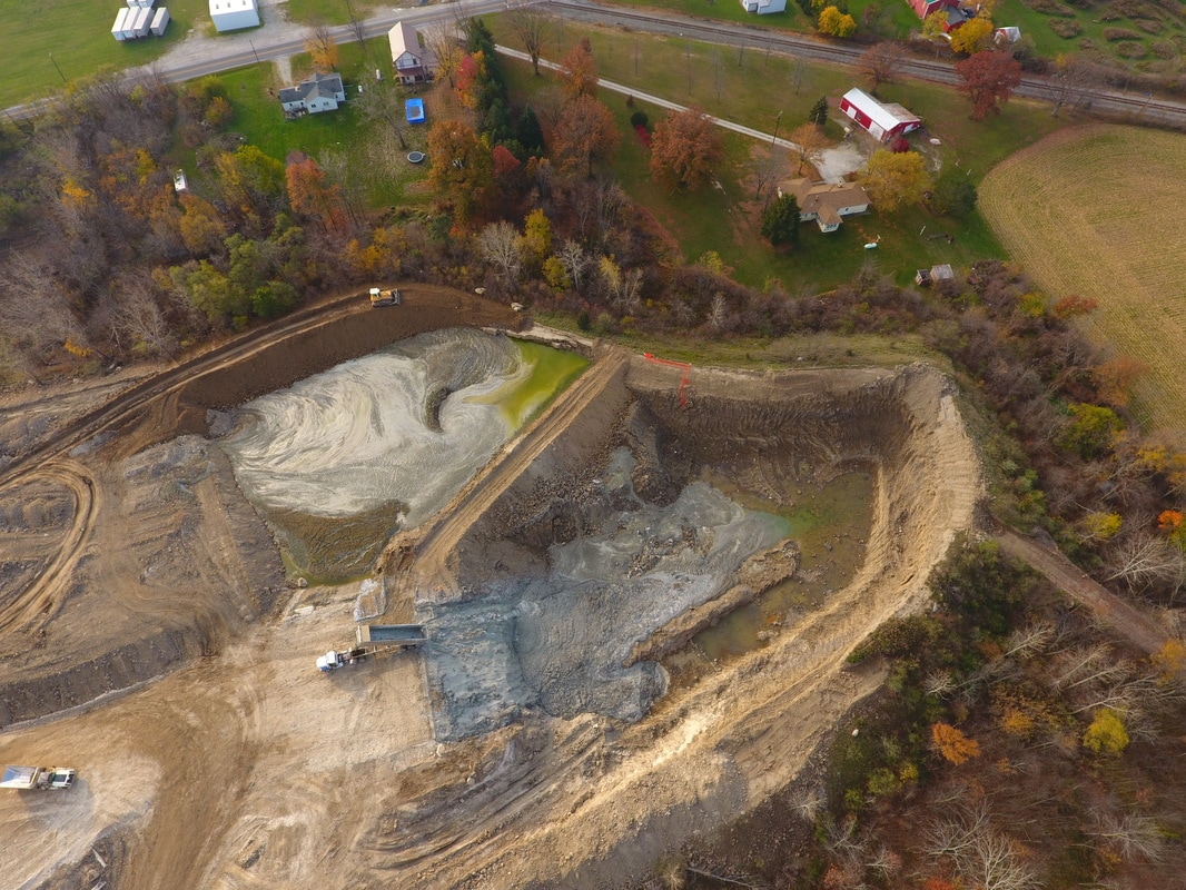
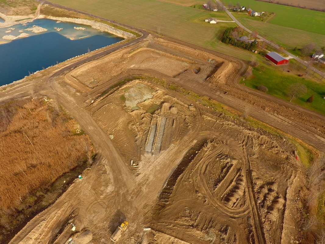
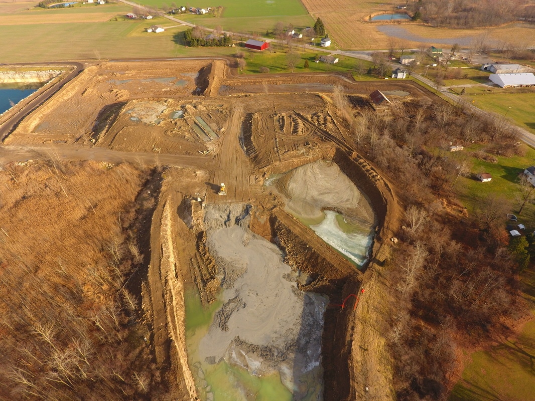
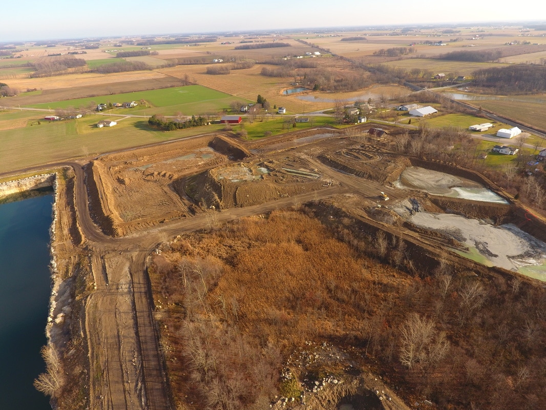
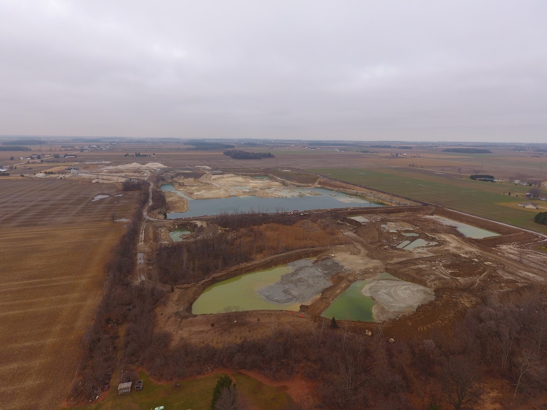
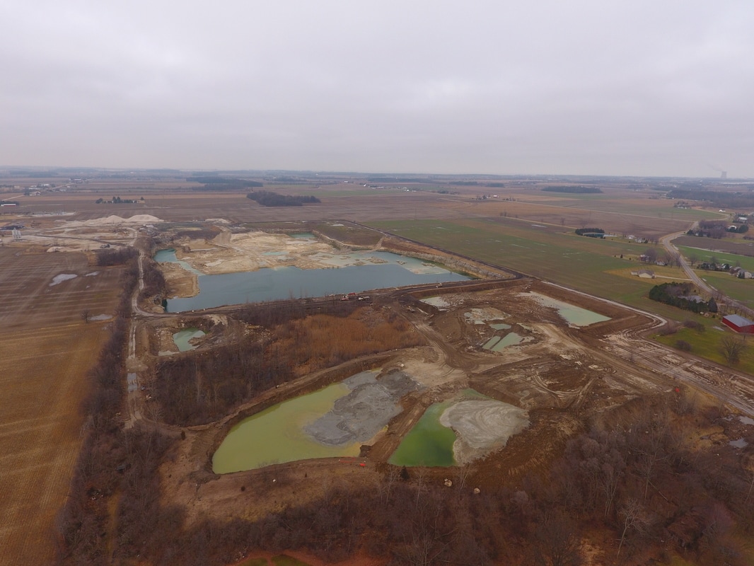
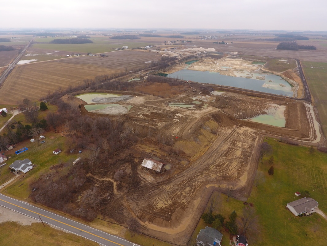
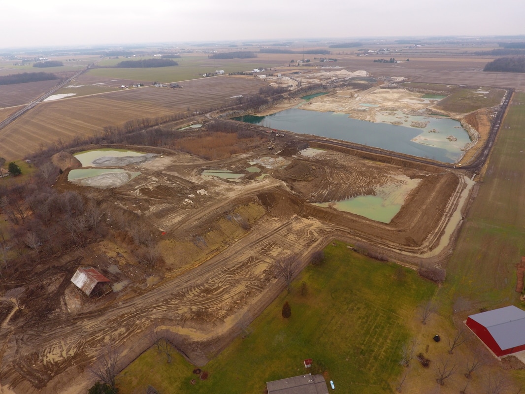
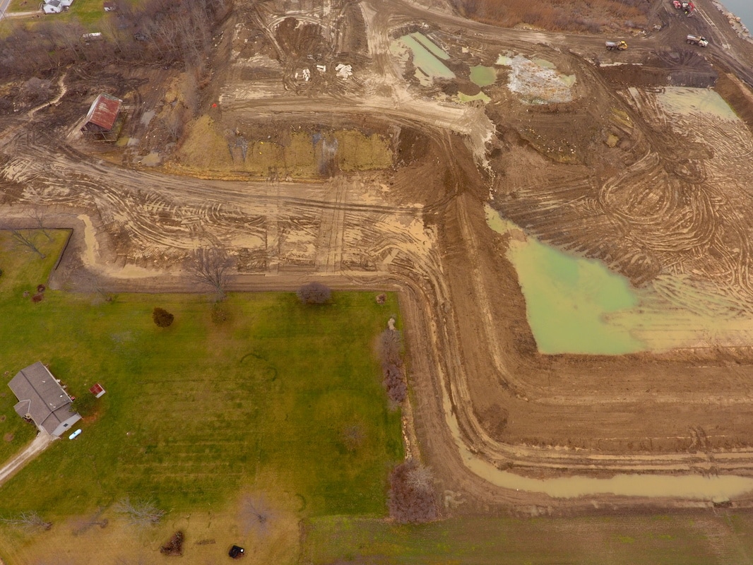
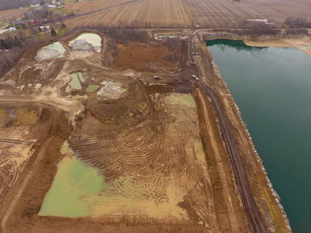
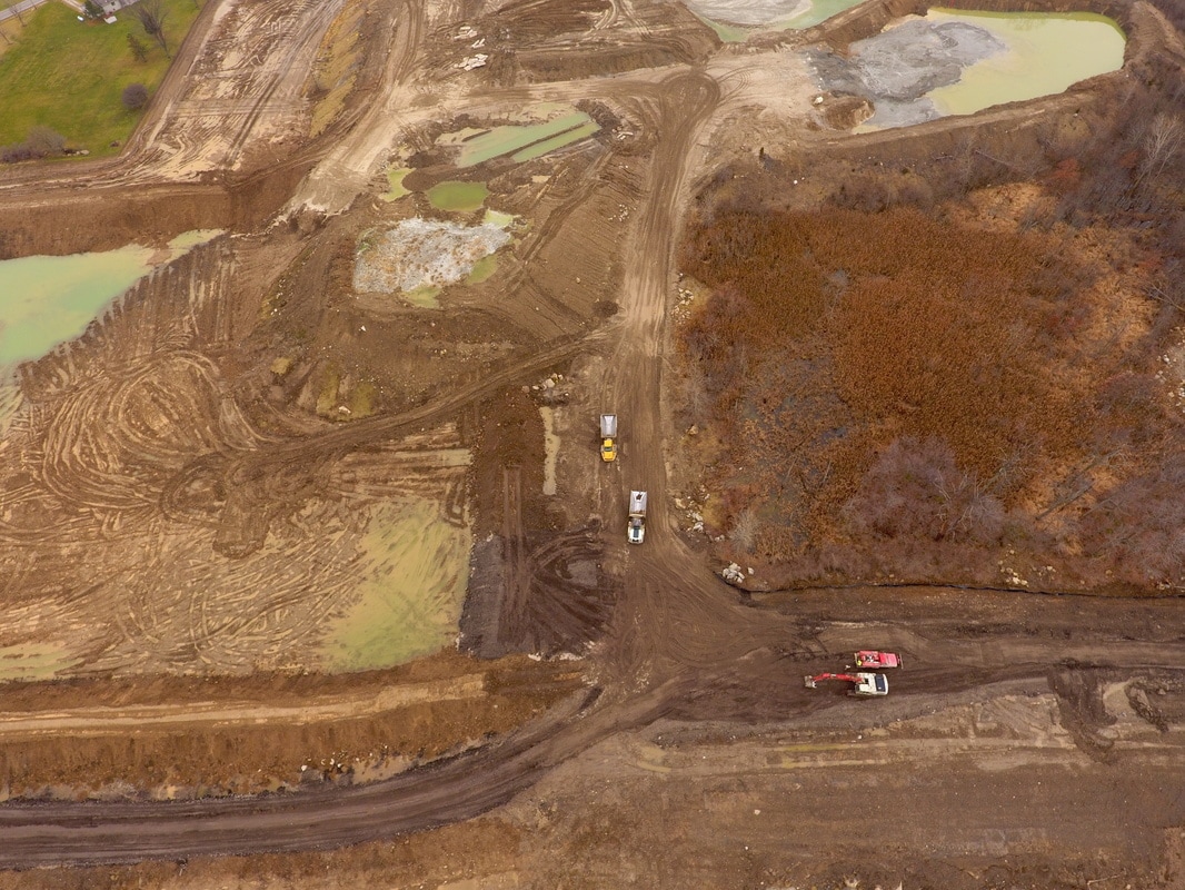
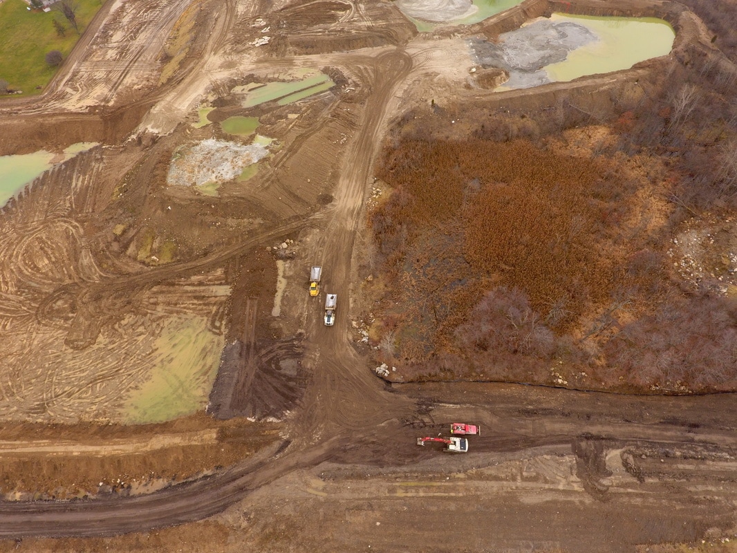
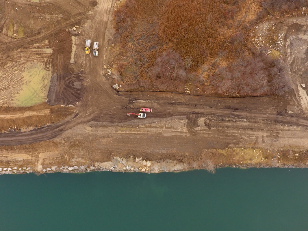
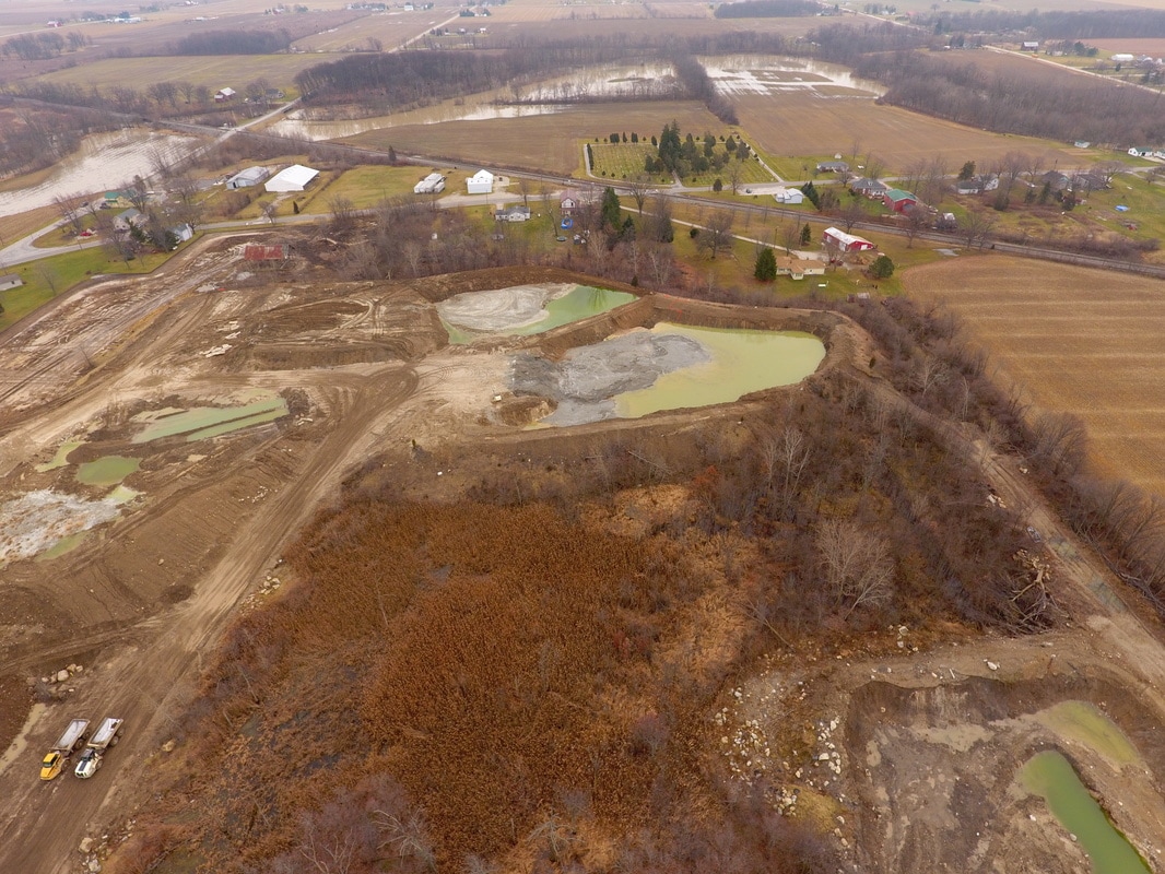
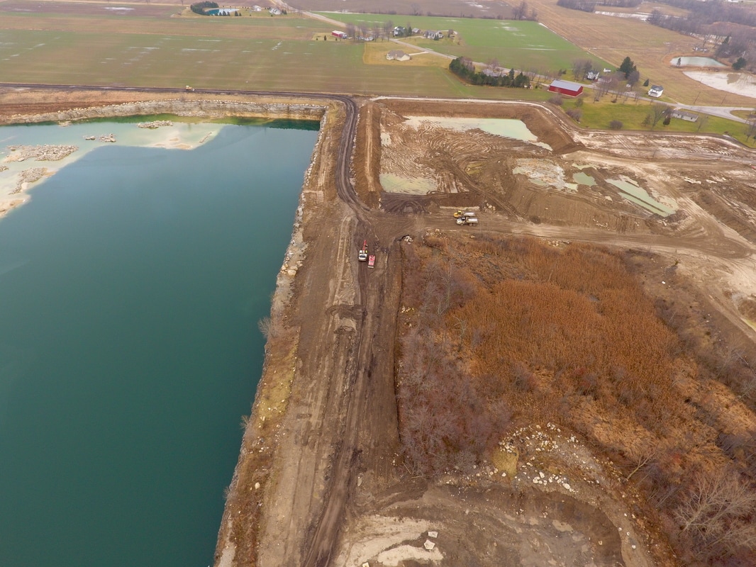
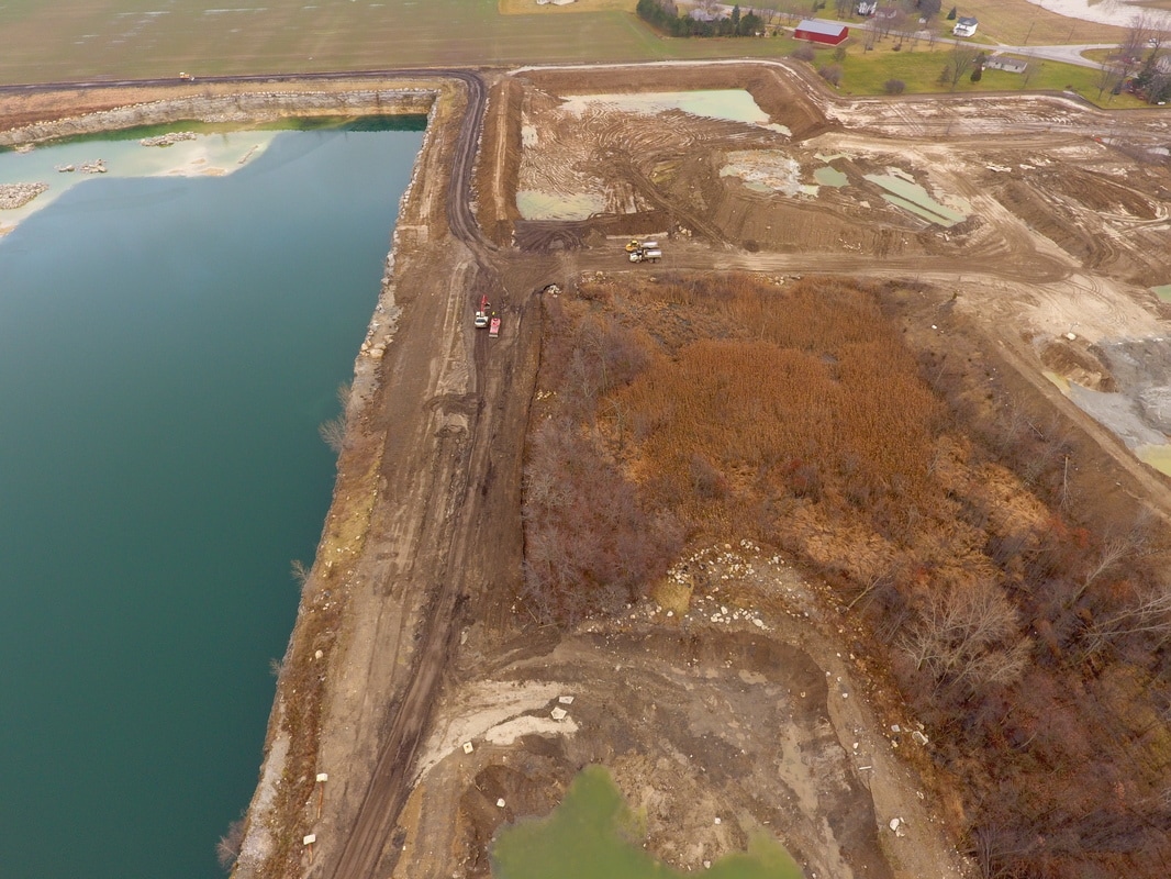
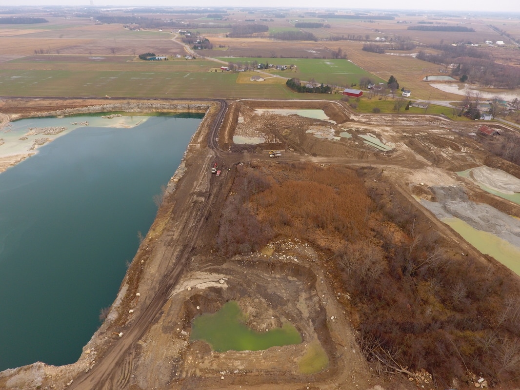
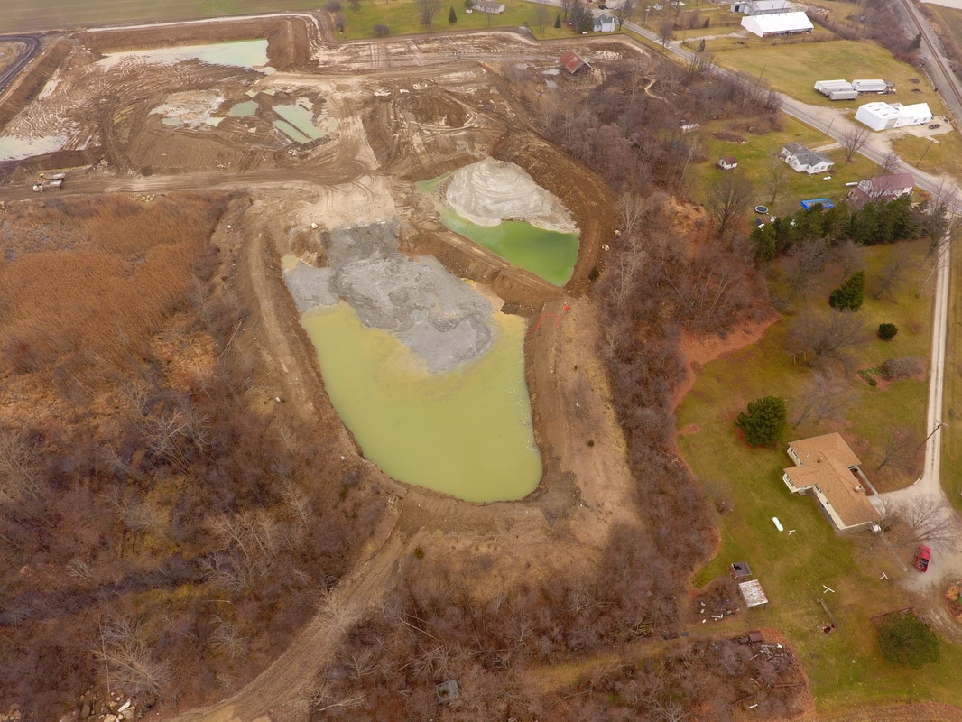
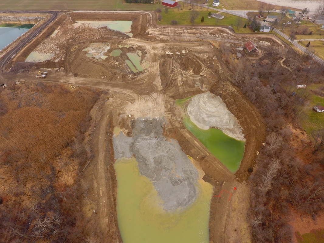
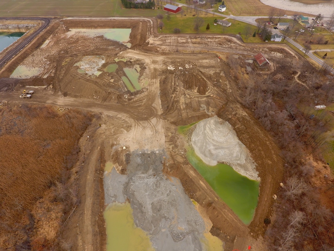
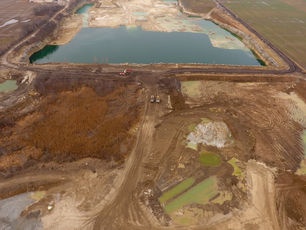
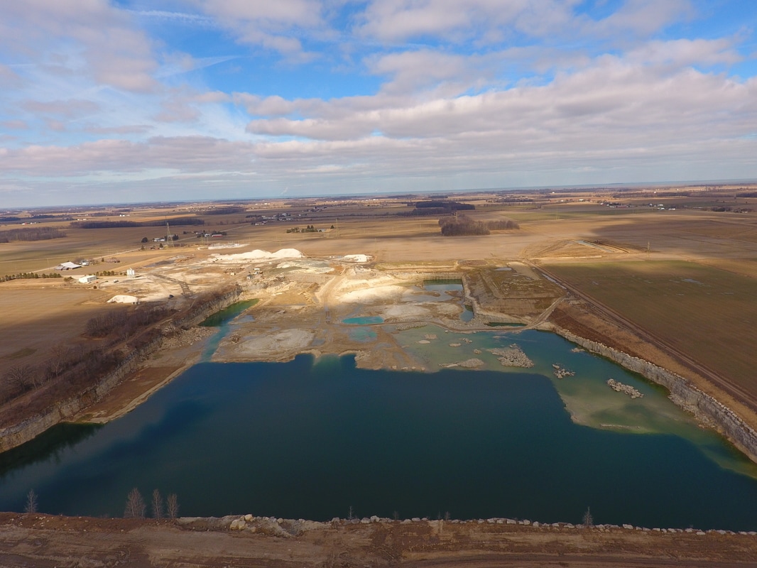
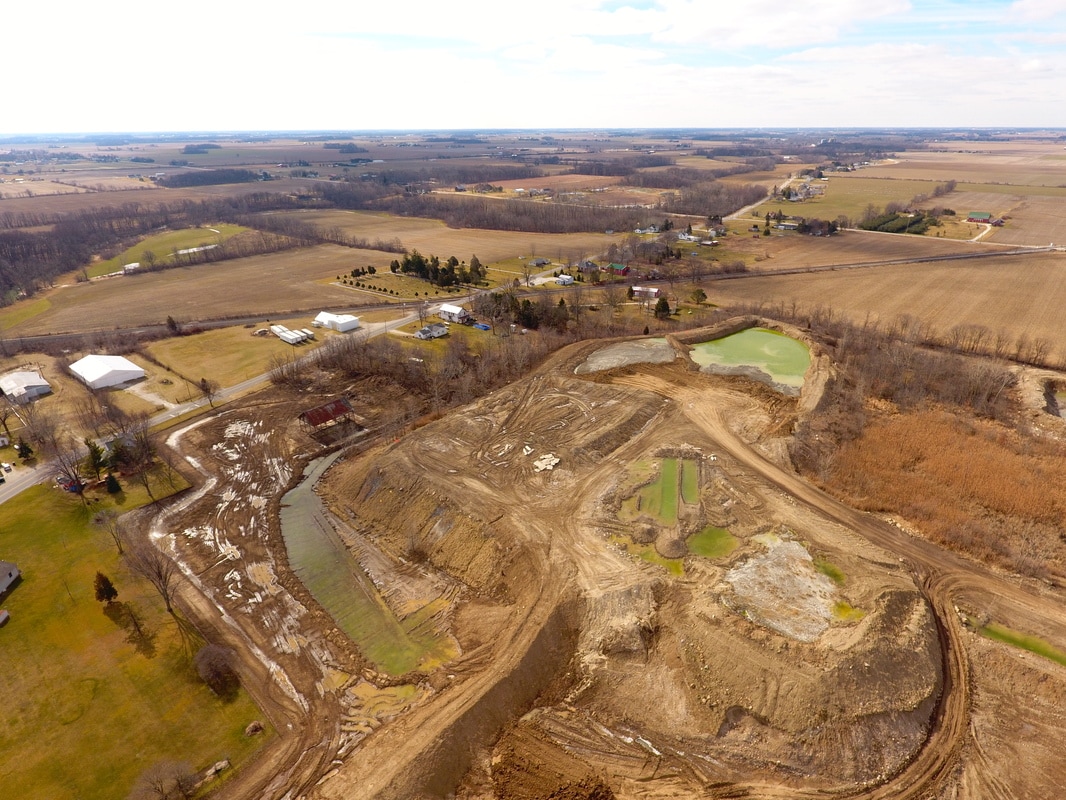
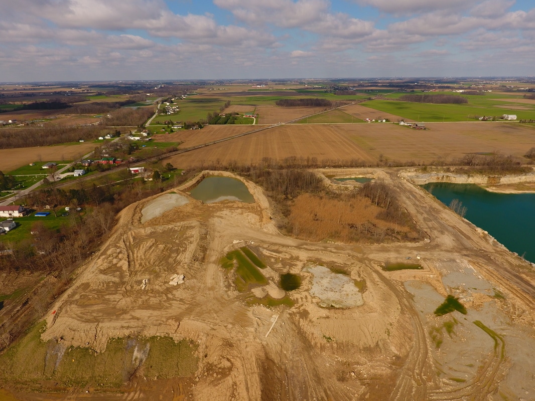
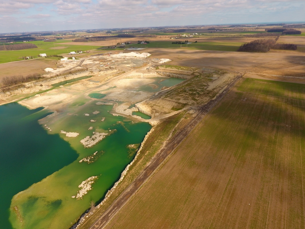
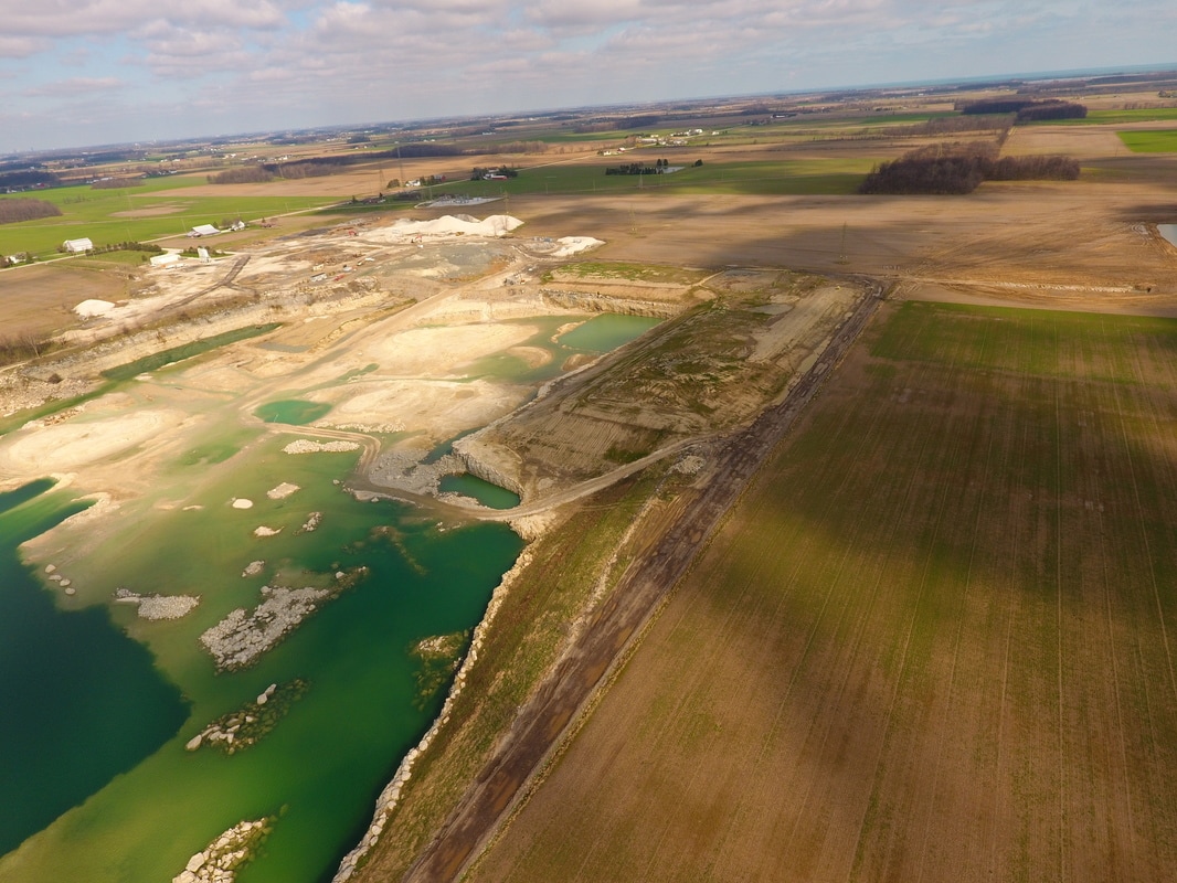
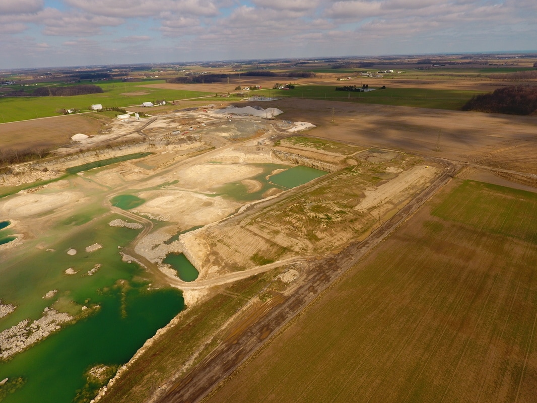
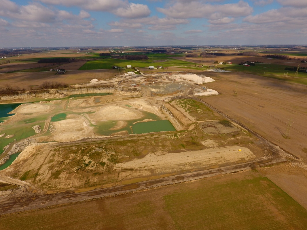
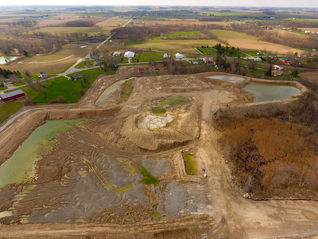
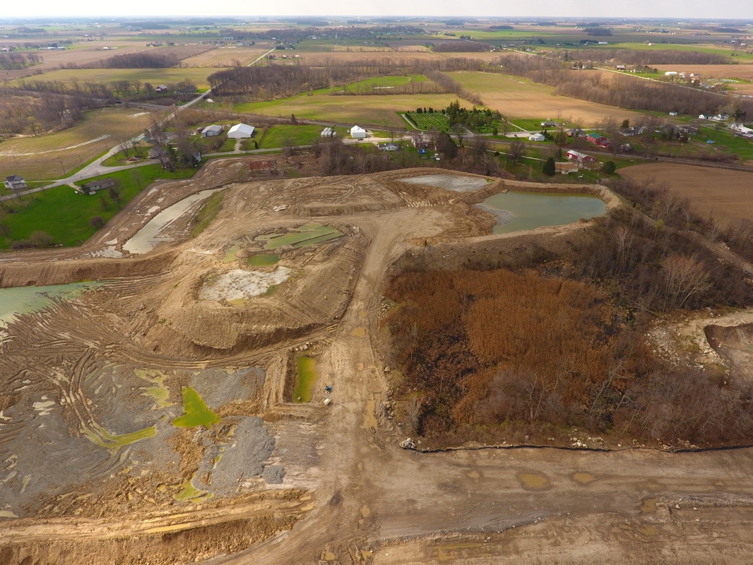
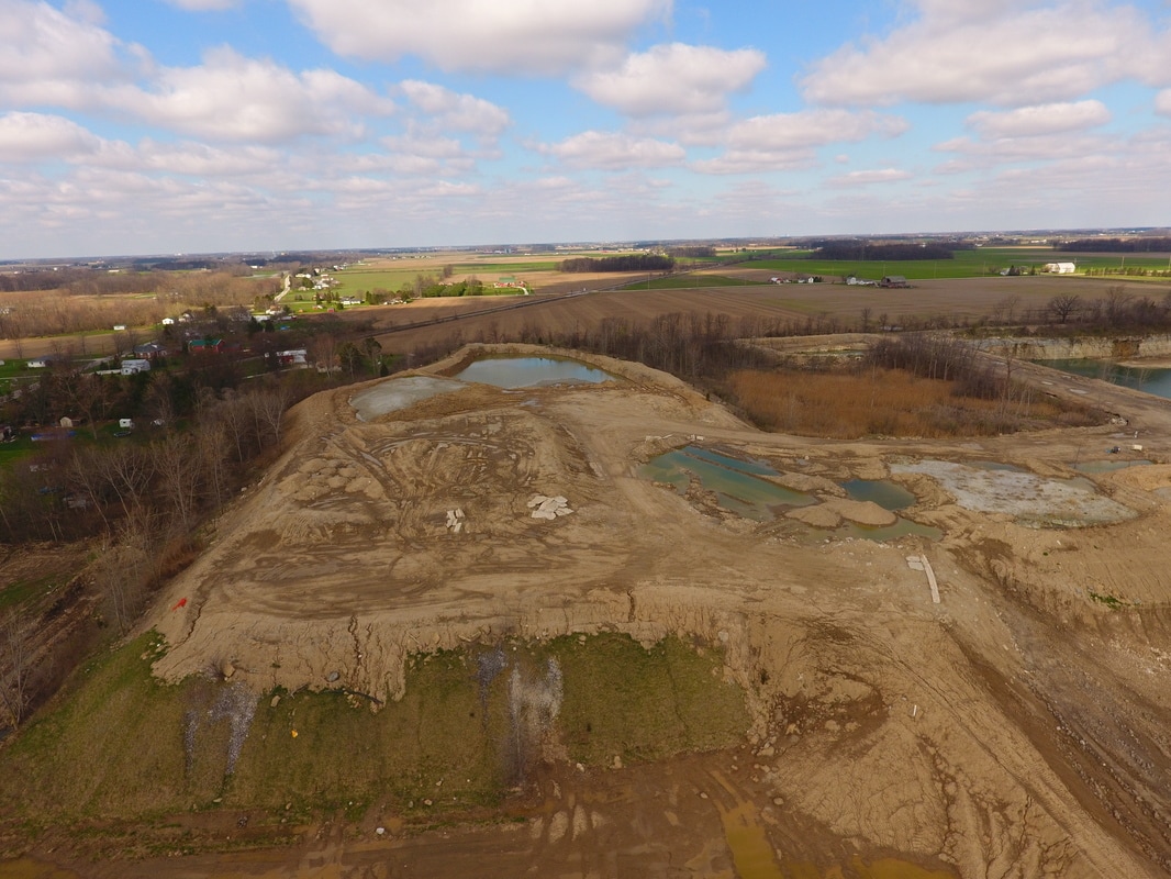
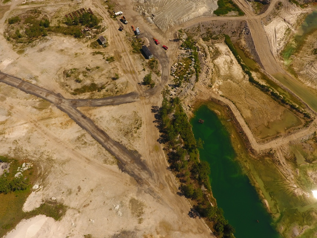
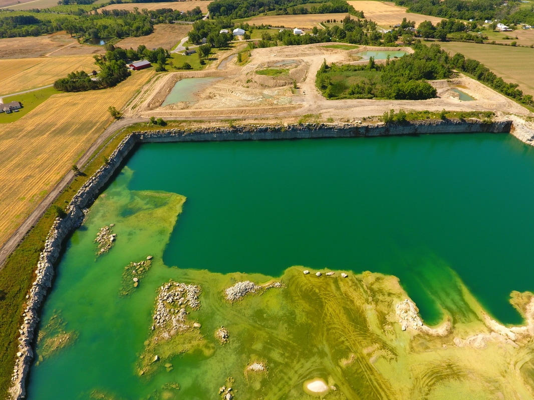
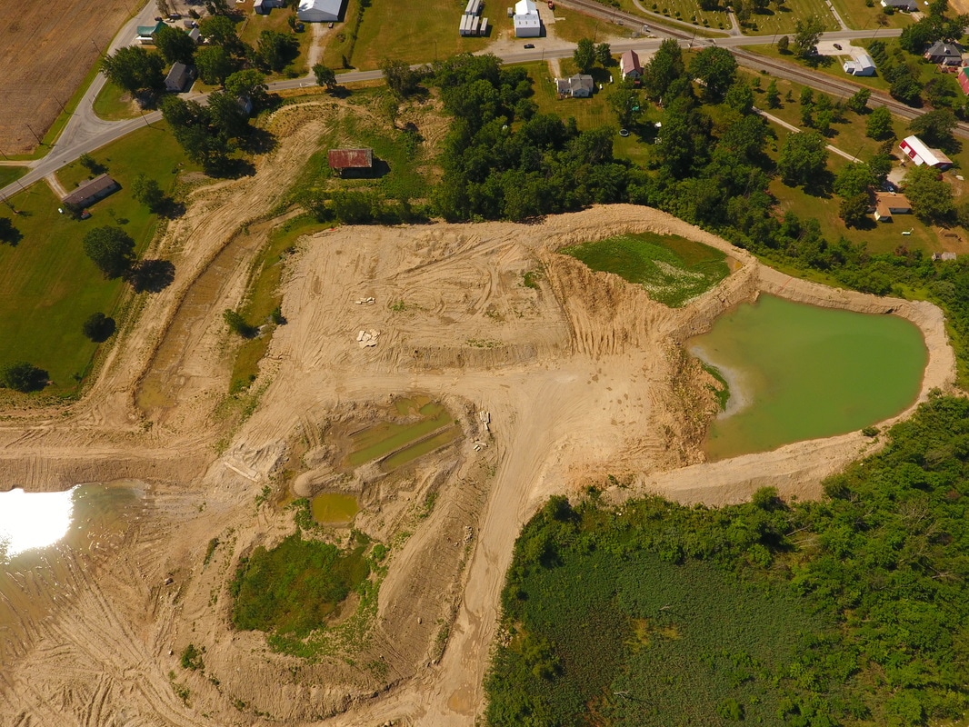
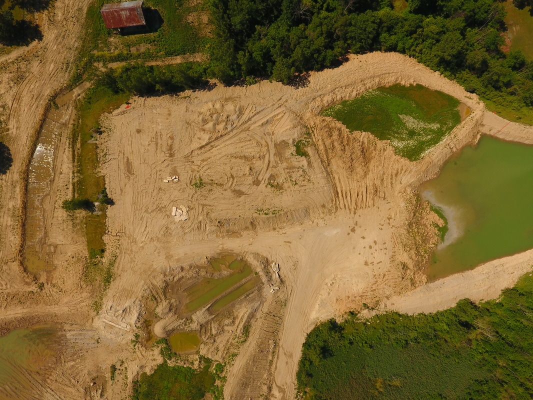
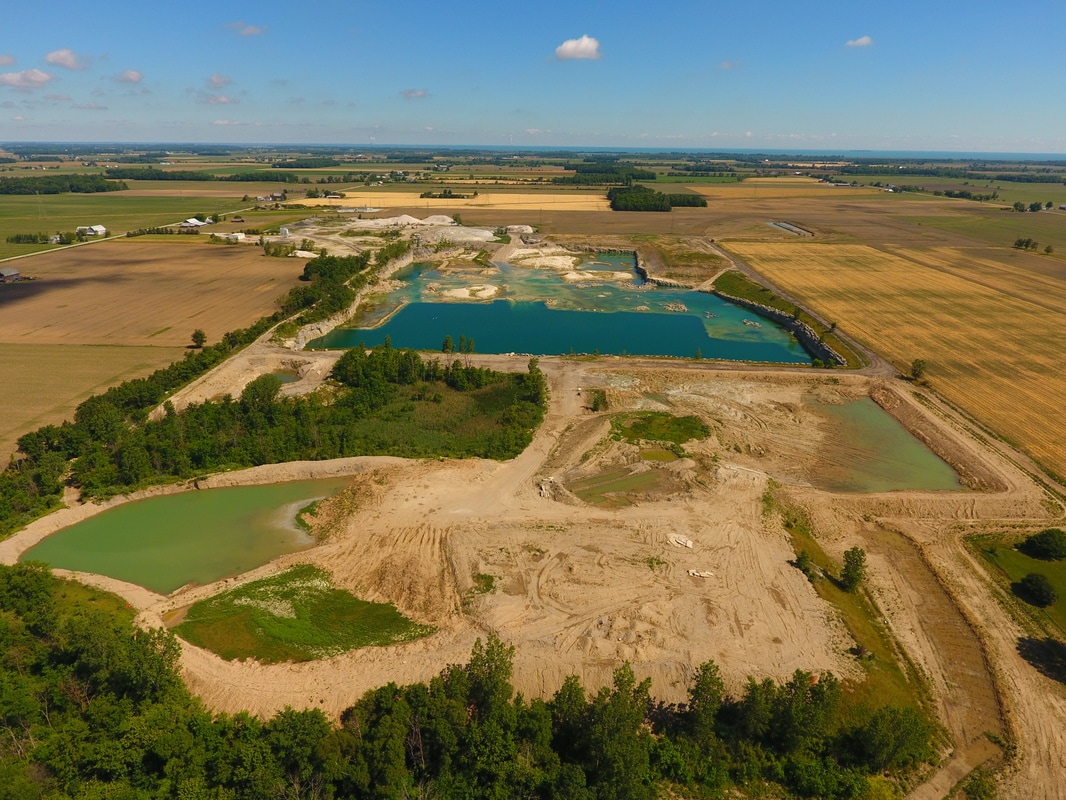
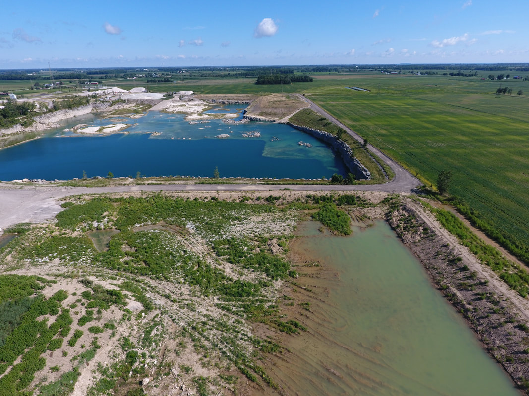
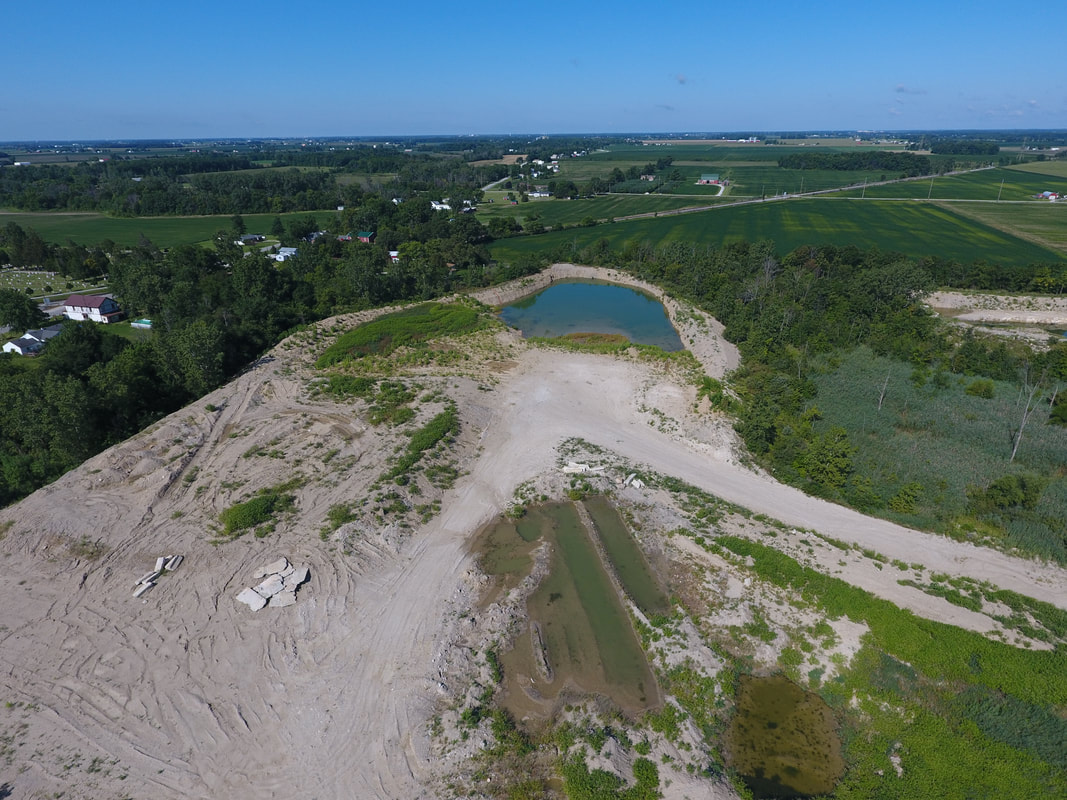
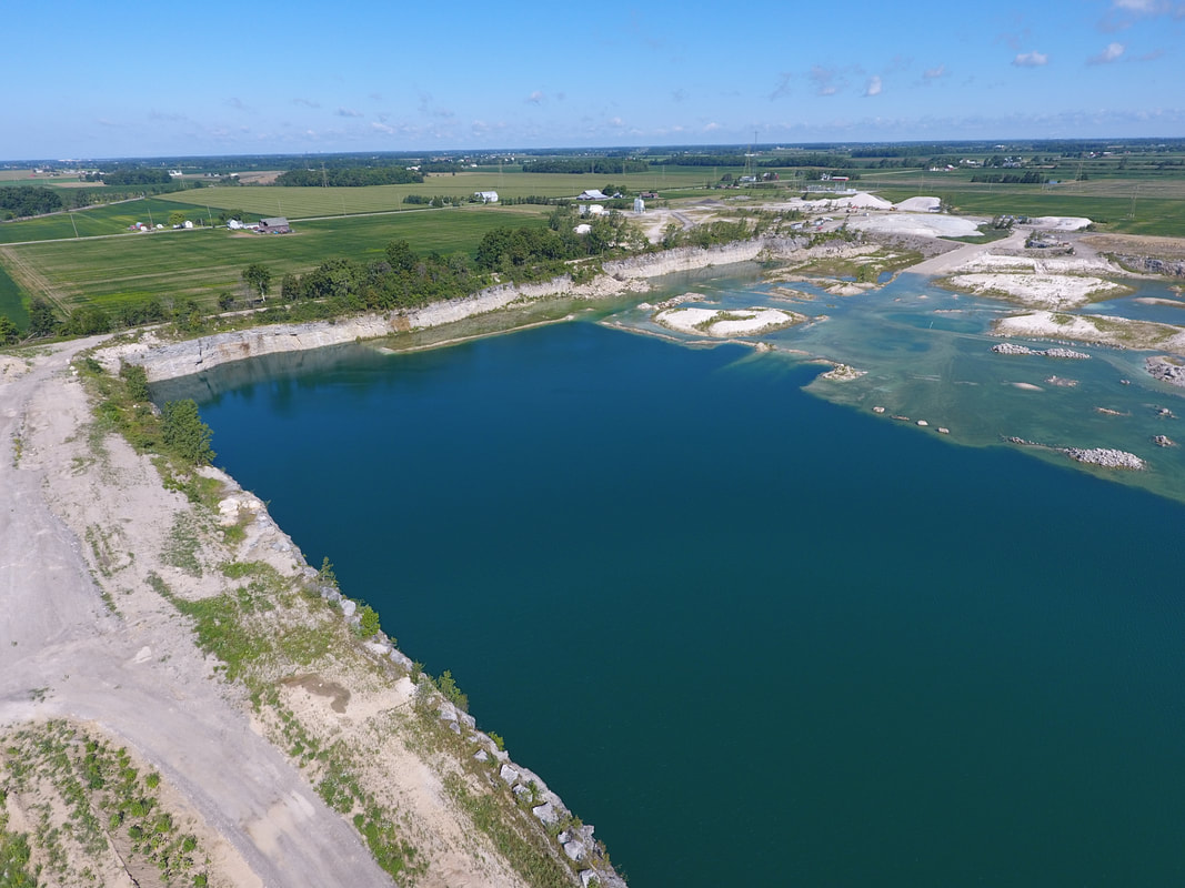
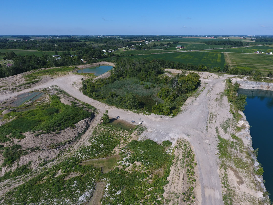
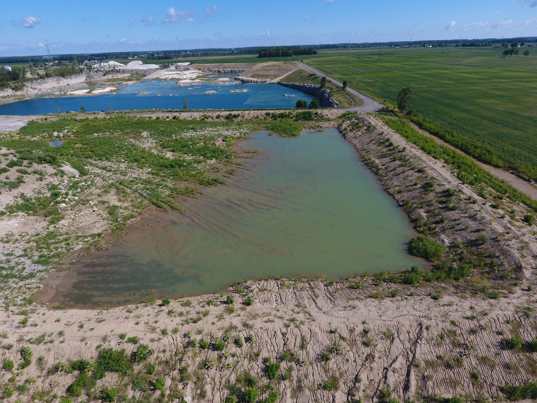
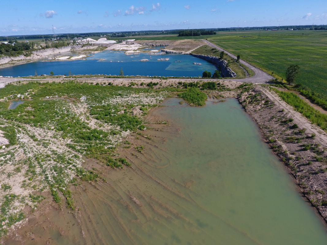
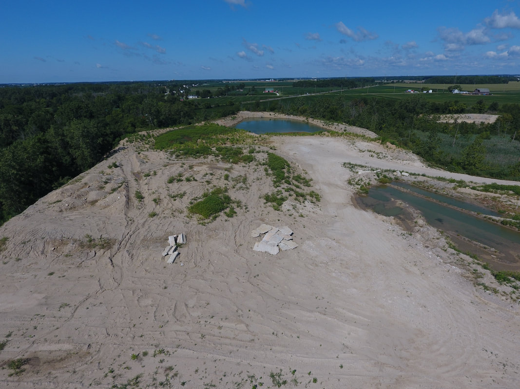
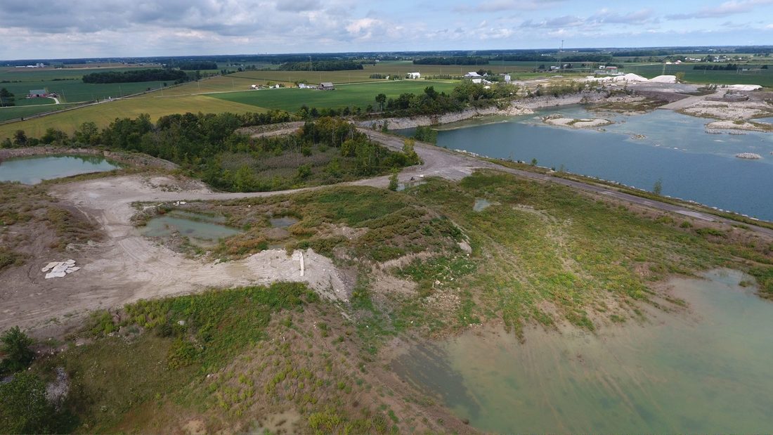
Google Earth image from 04.22.16 about 17 months after the purchase of the quarry grounds. You can see spent lime sludge cells being created in the bedrock surrounding and in near proximity to the quarry pit.
Note that the quarry is being de-watered.
|
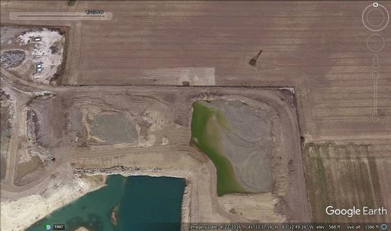
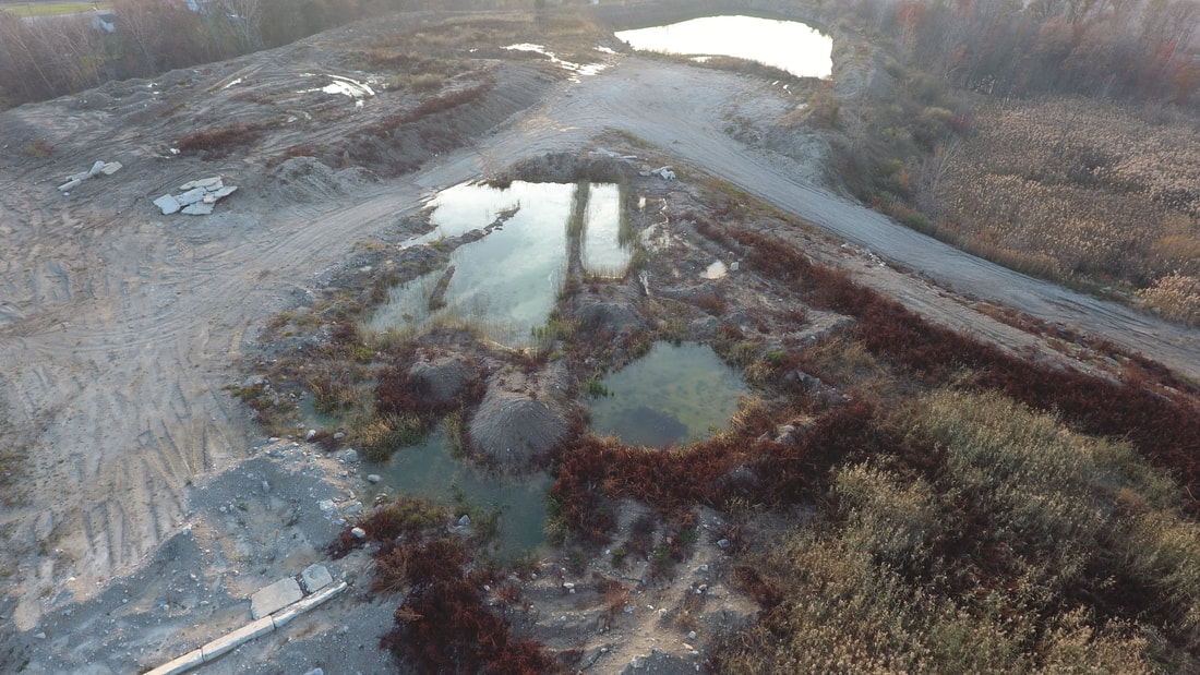
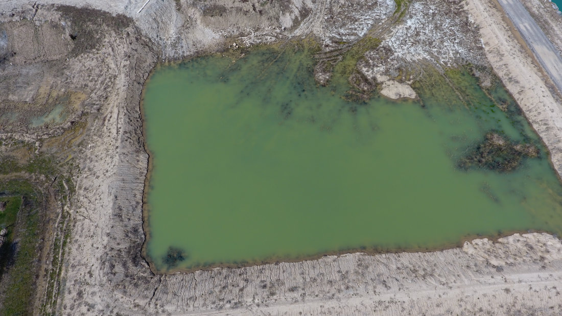
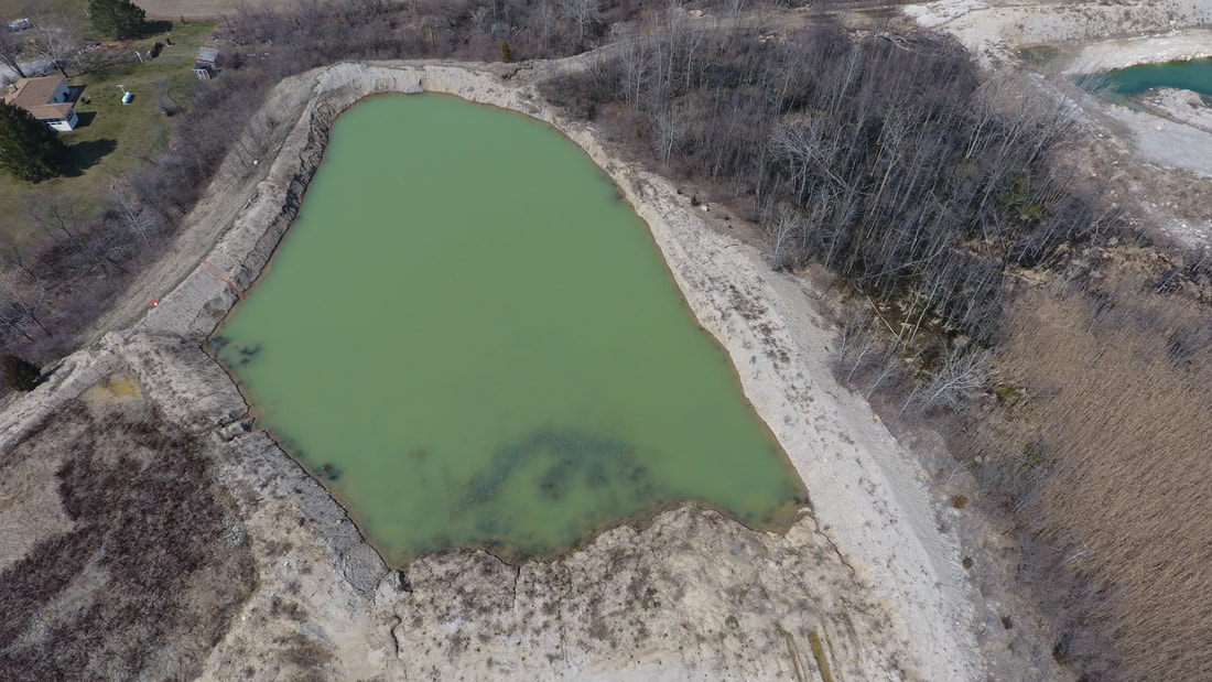
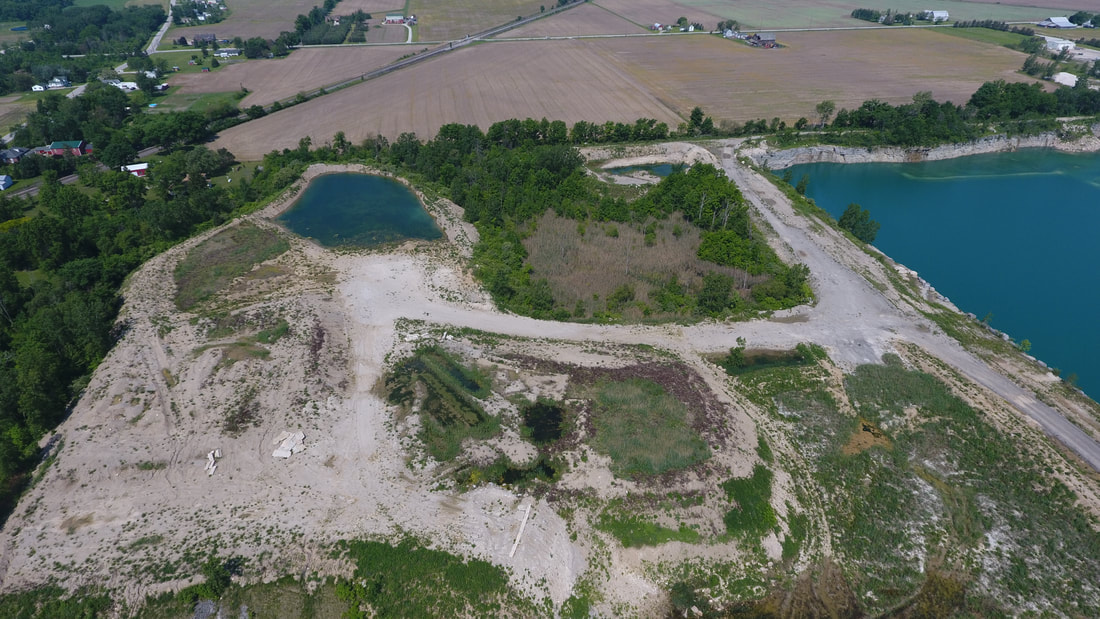
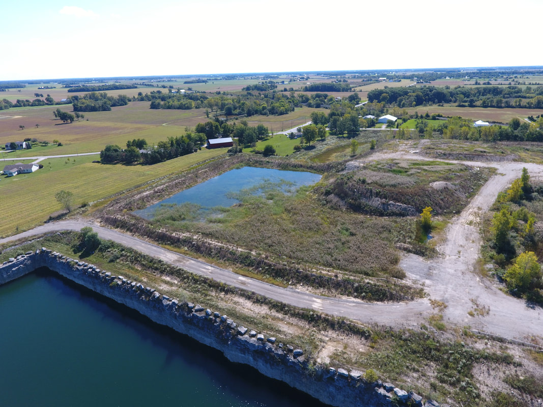
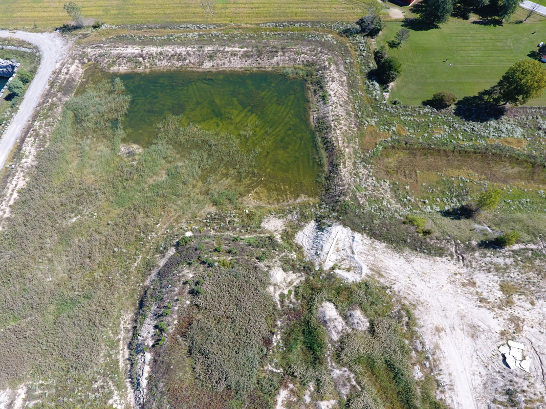
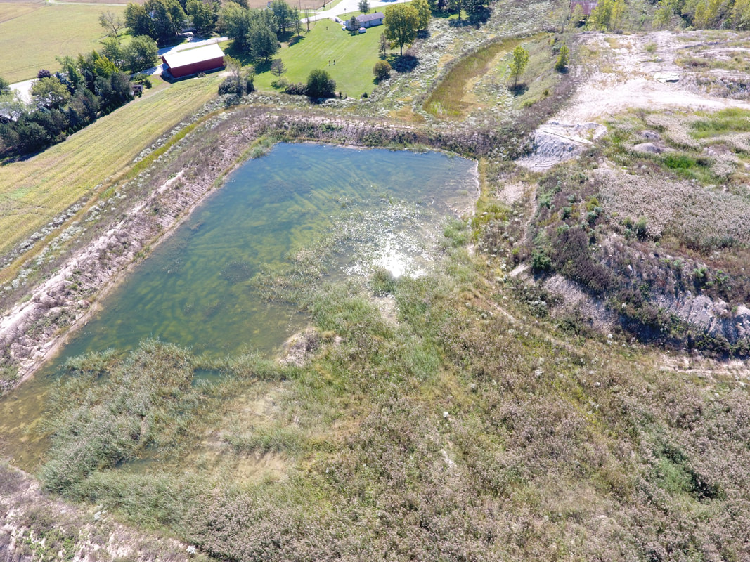
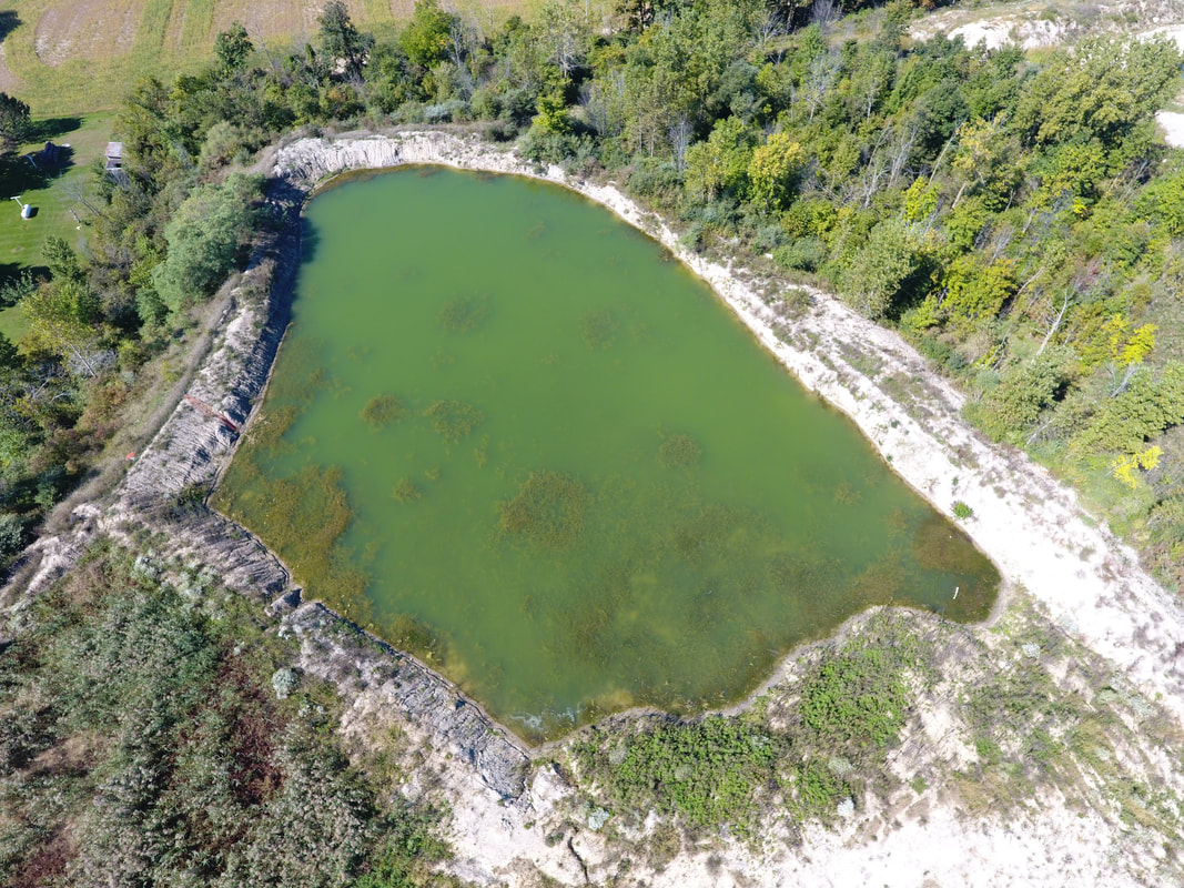
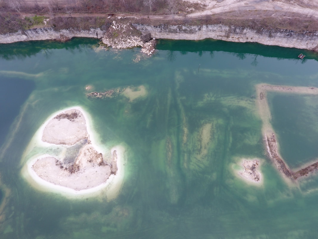
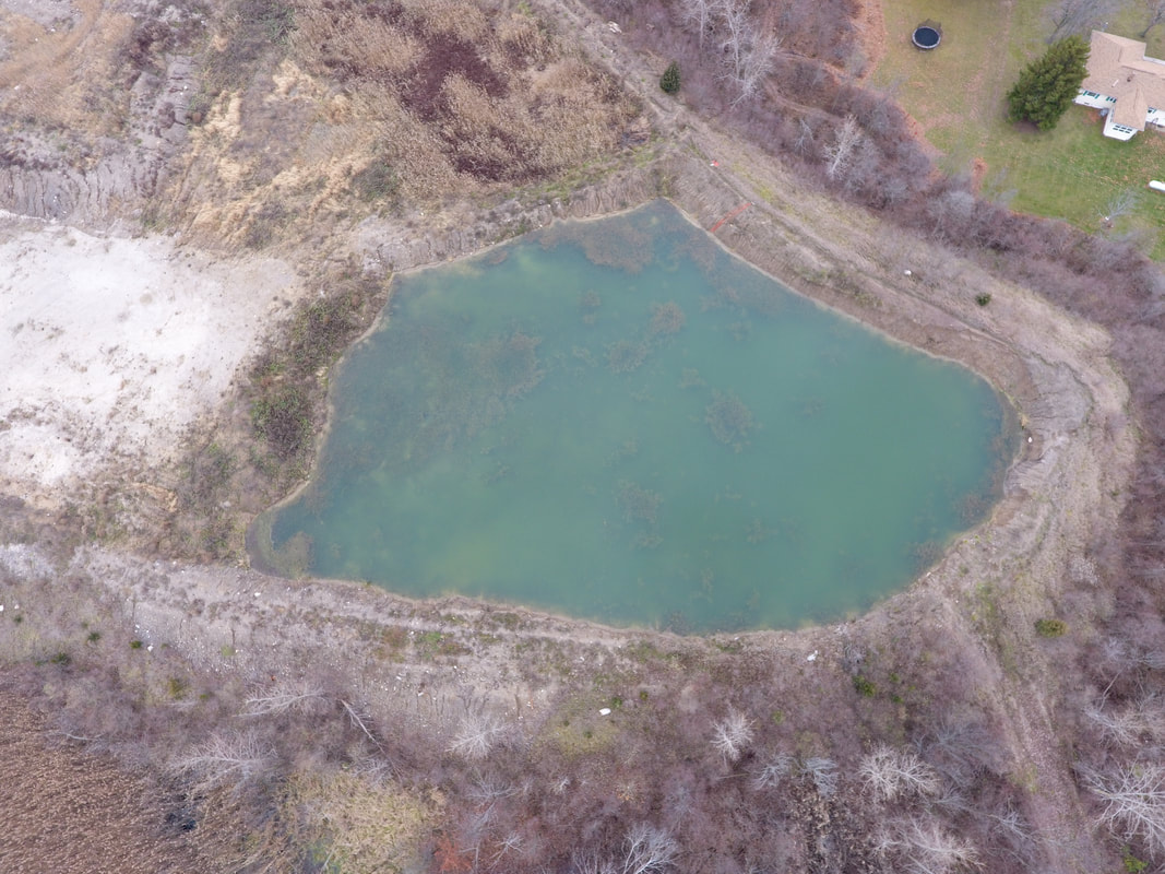
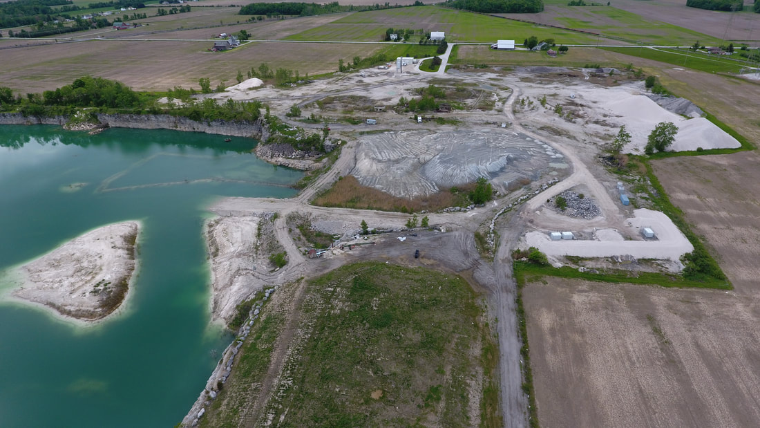
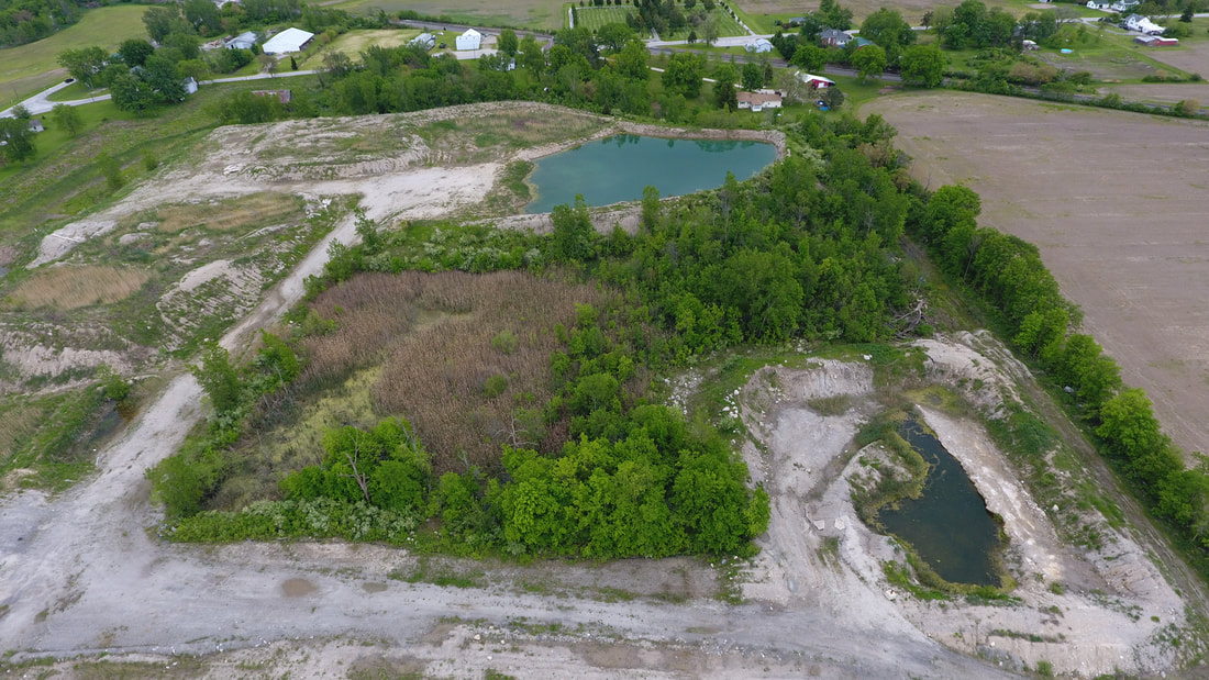
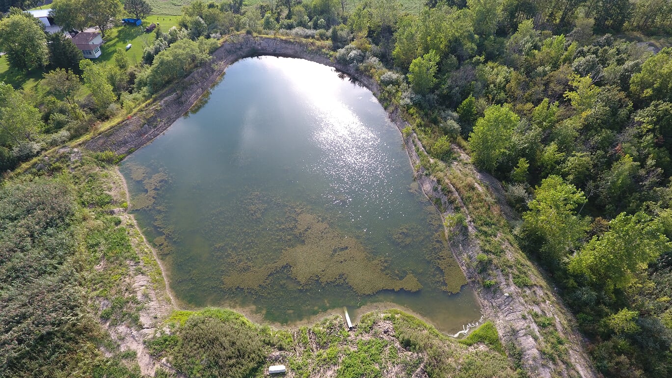
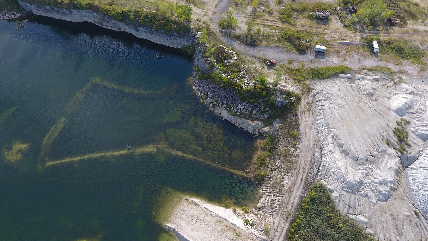
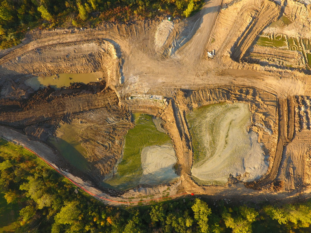
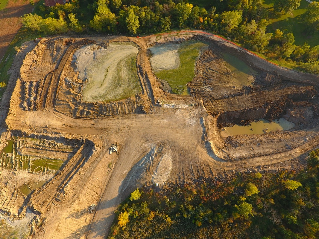
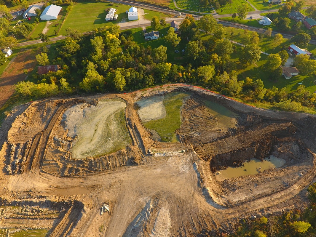
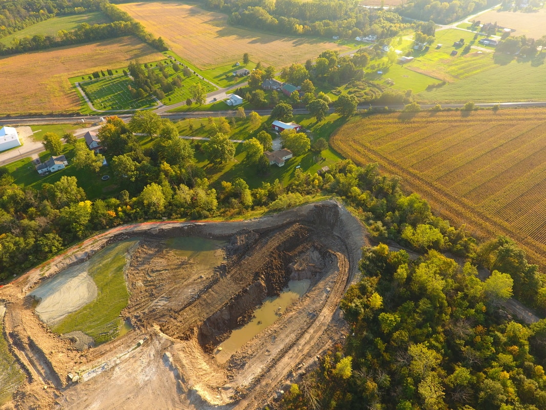
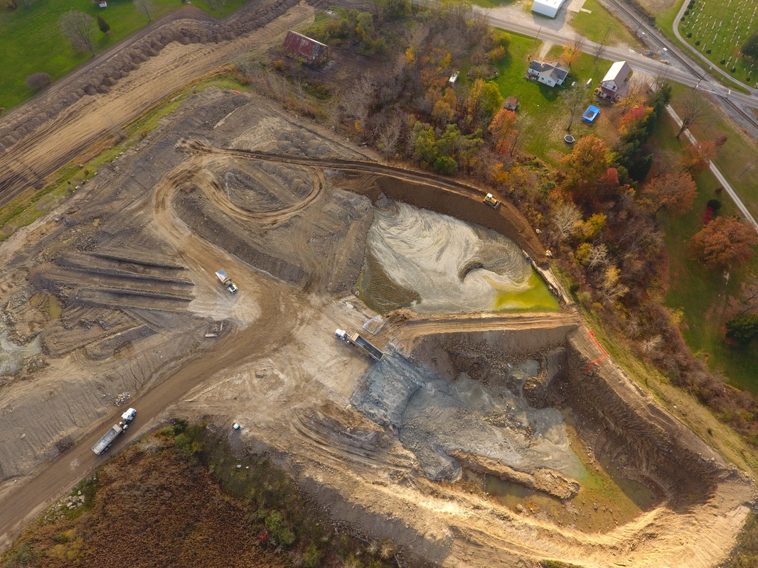
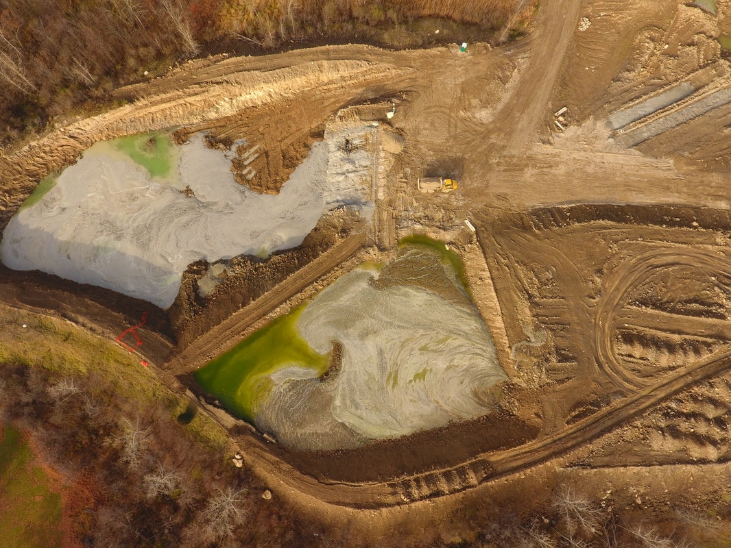
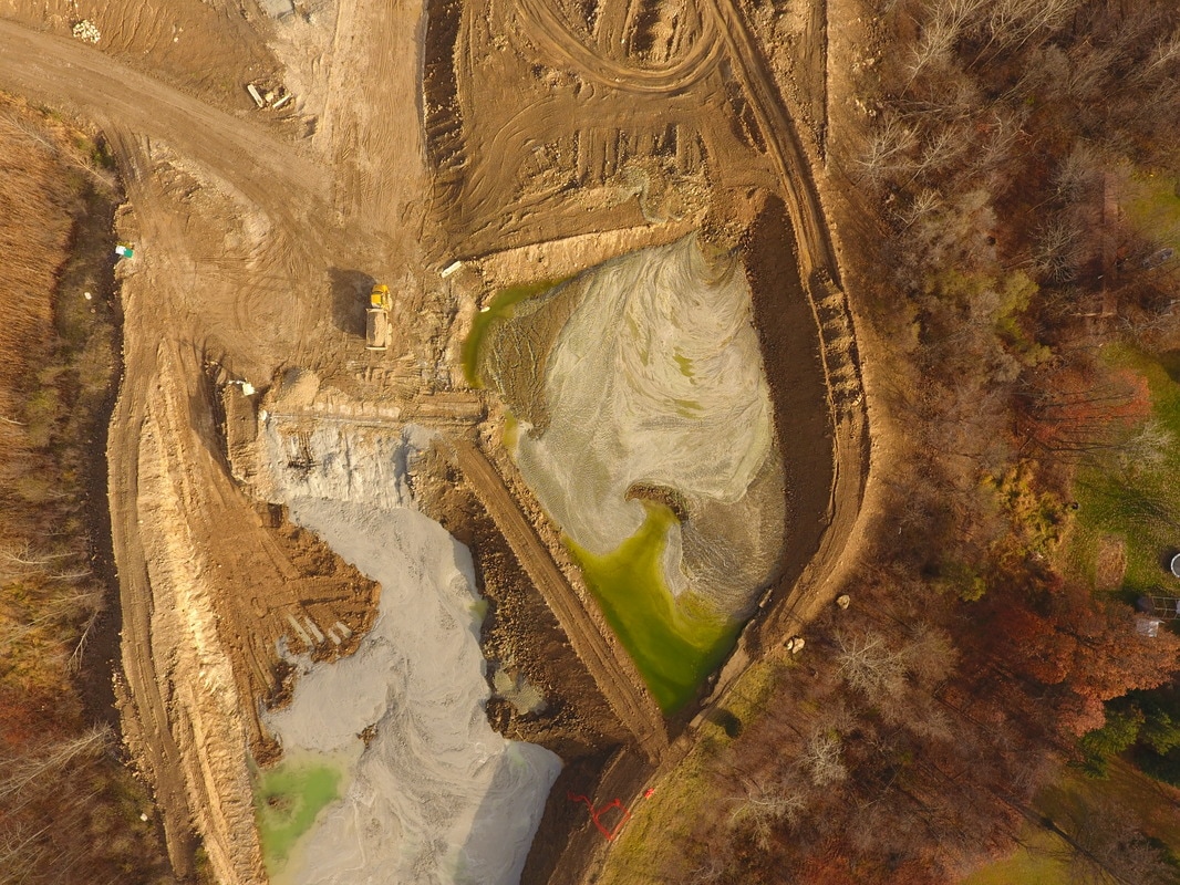
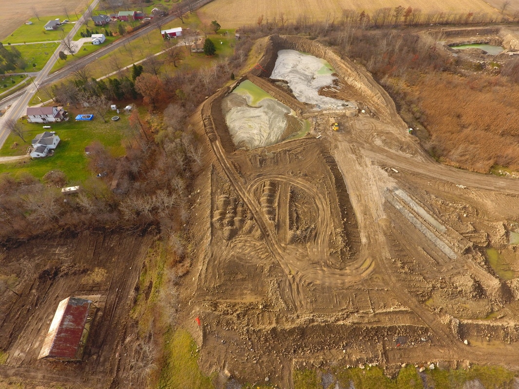
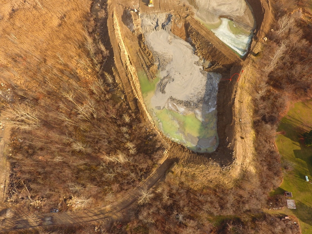
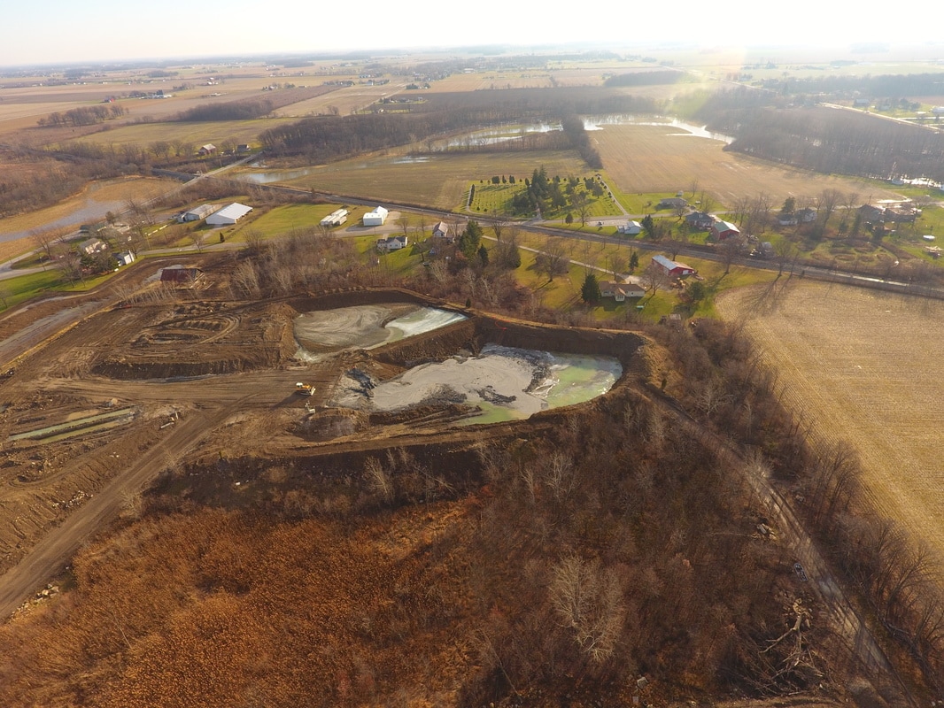
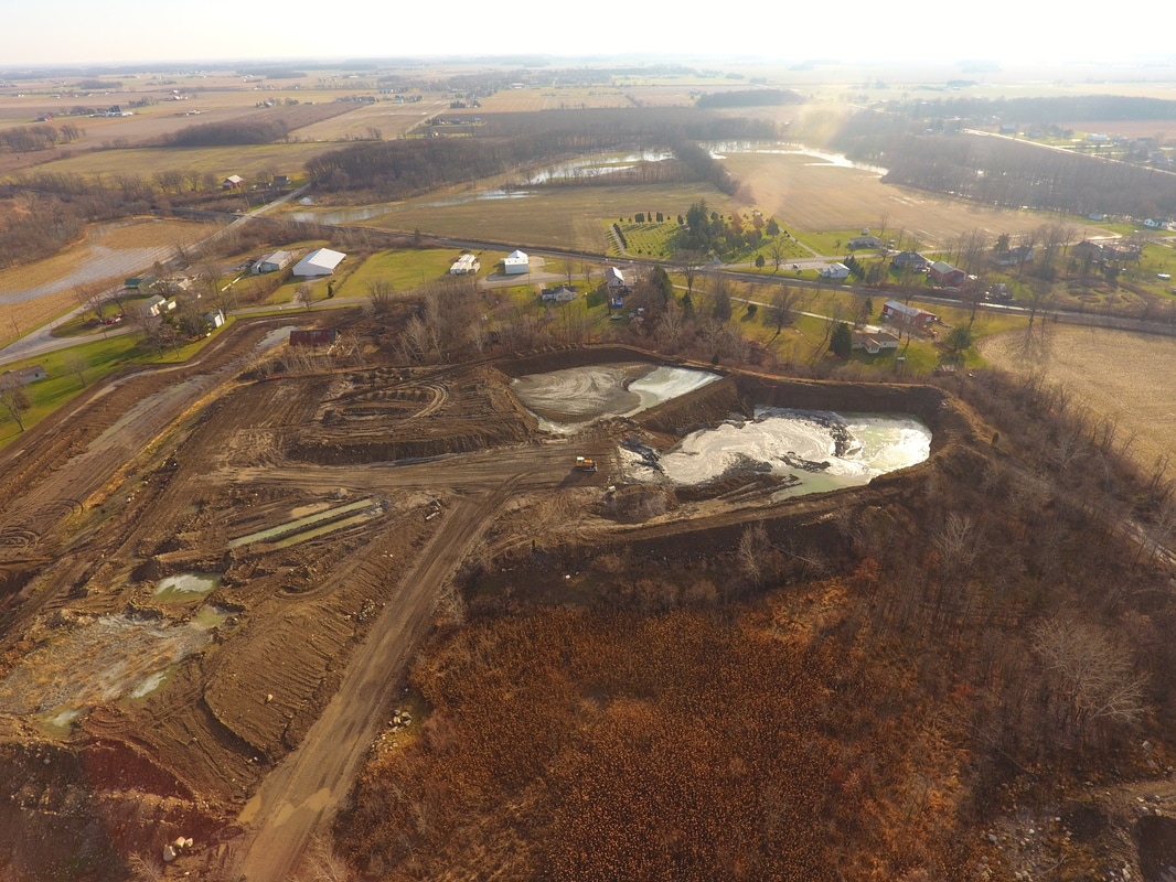
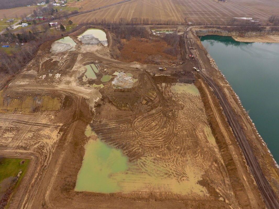
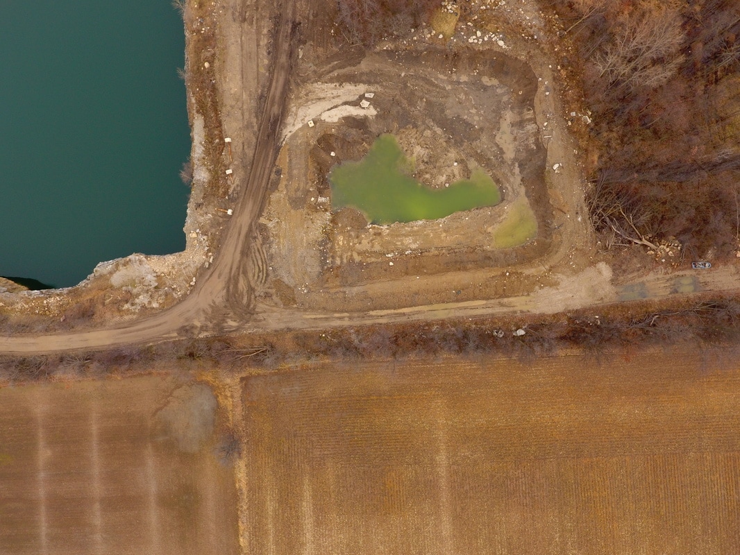
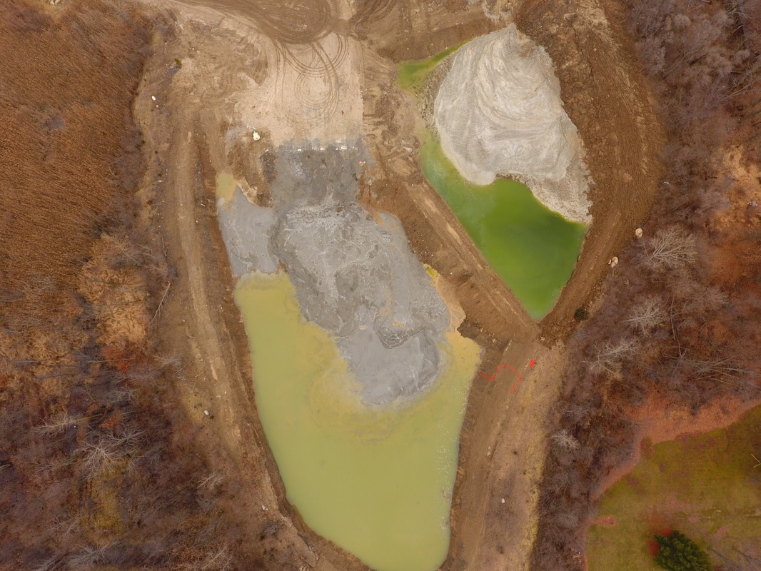
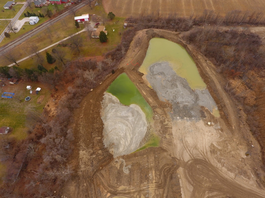
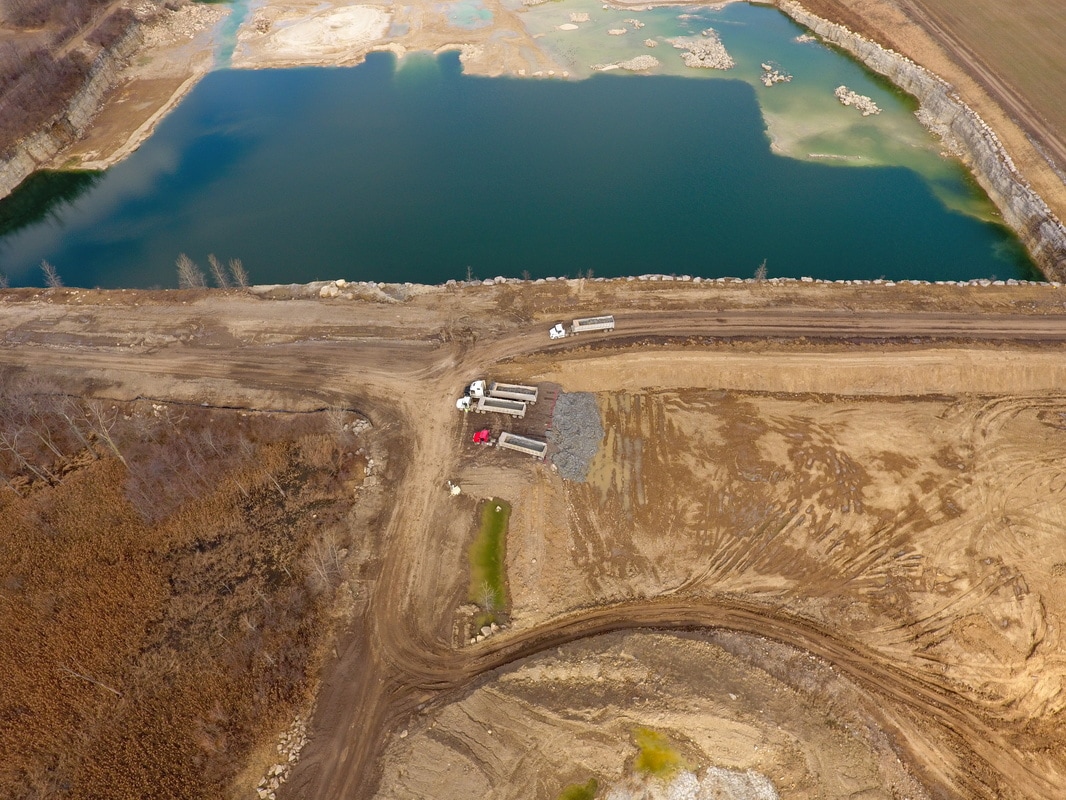
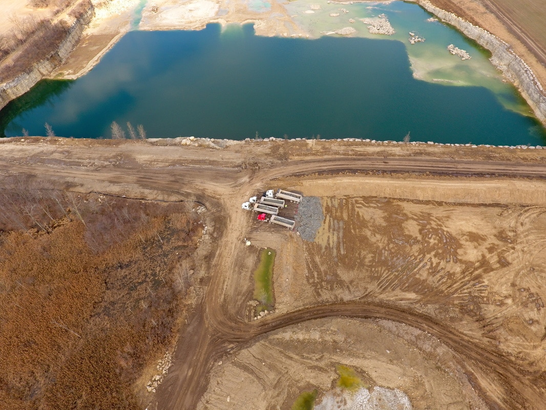
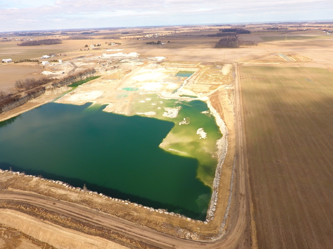
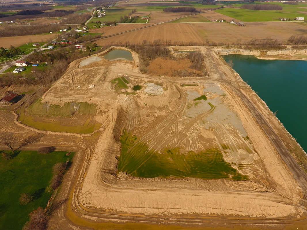
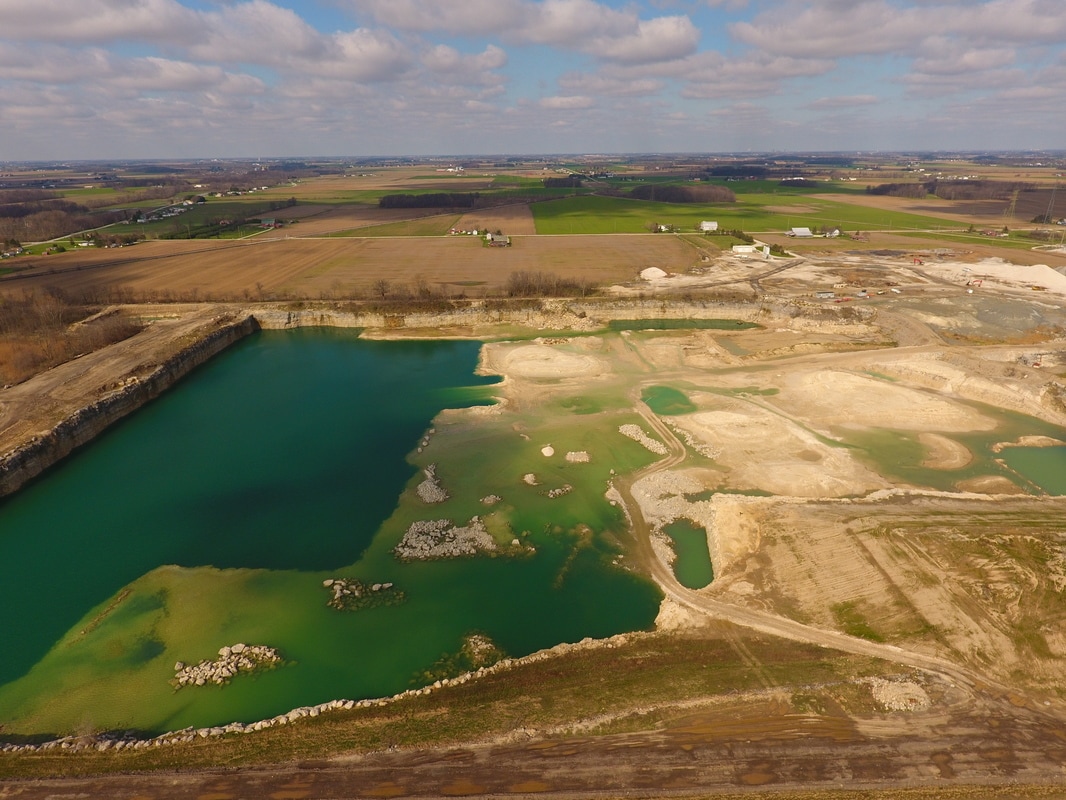
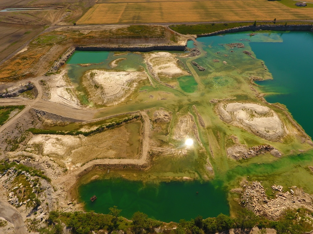
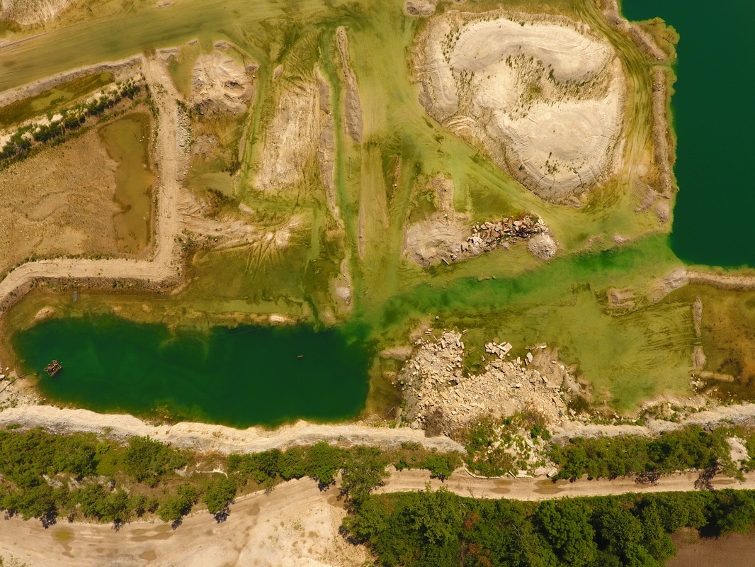
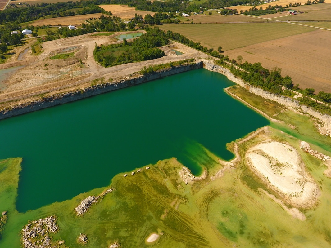
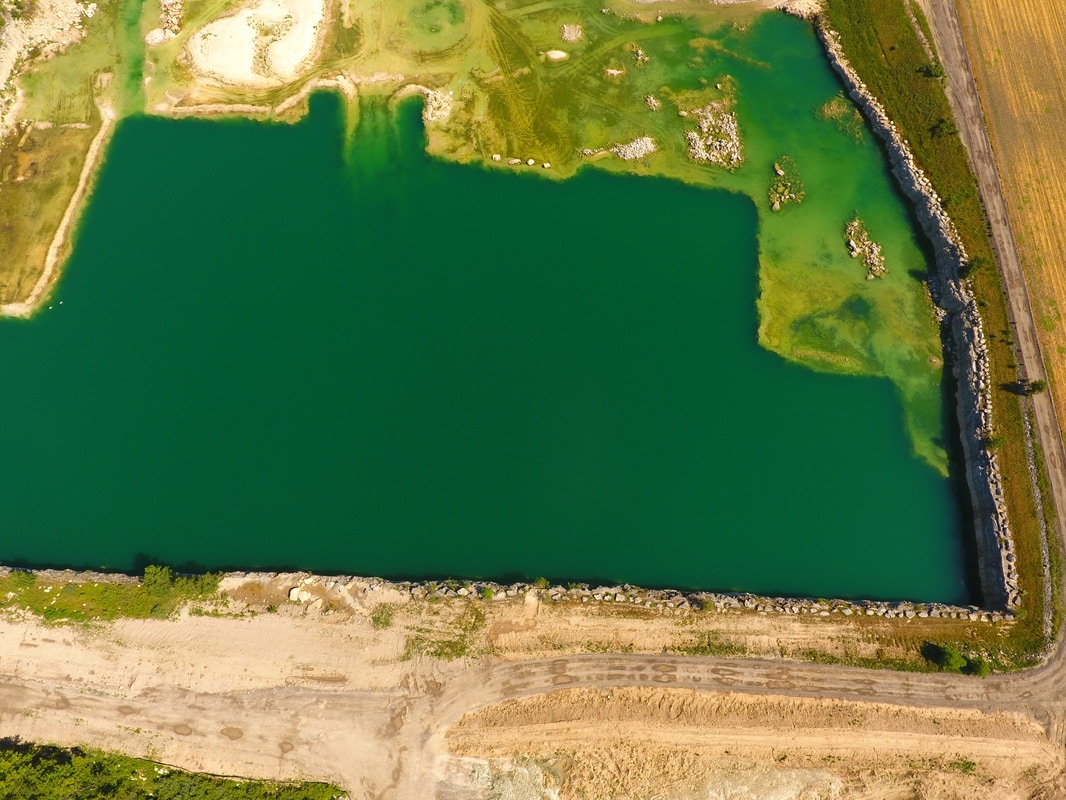
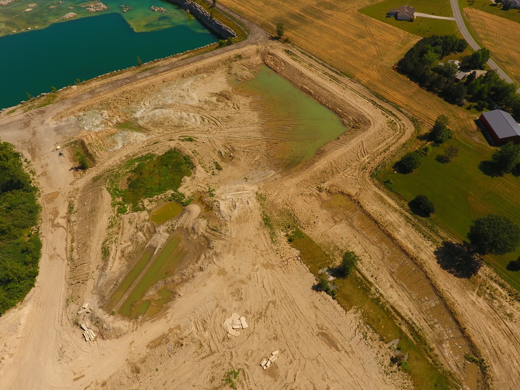
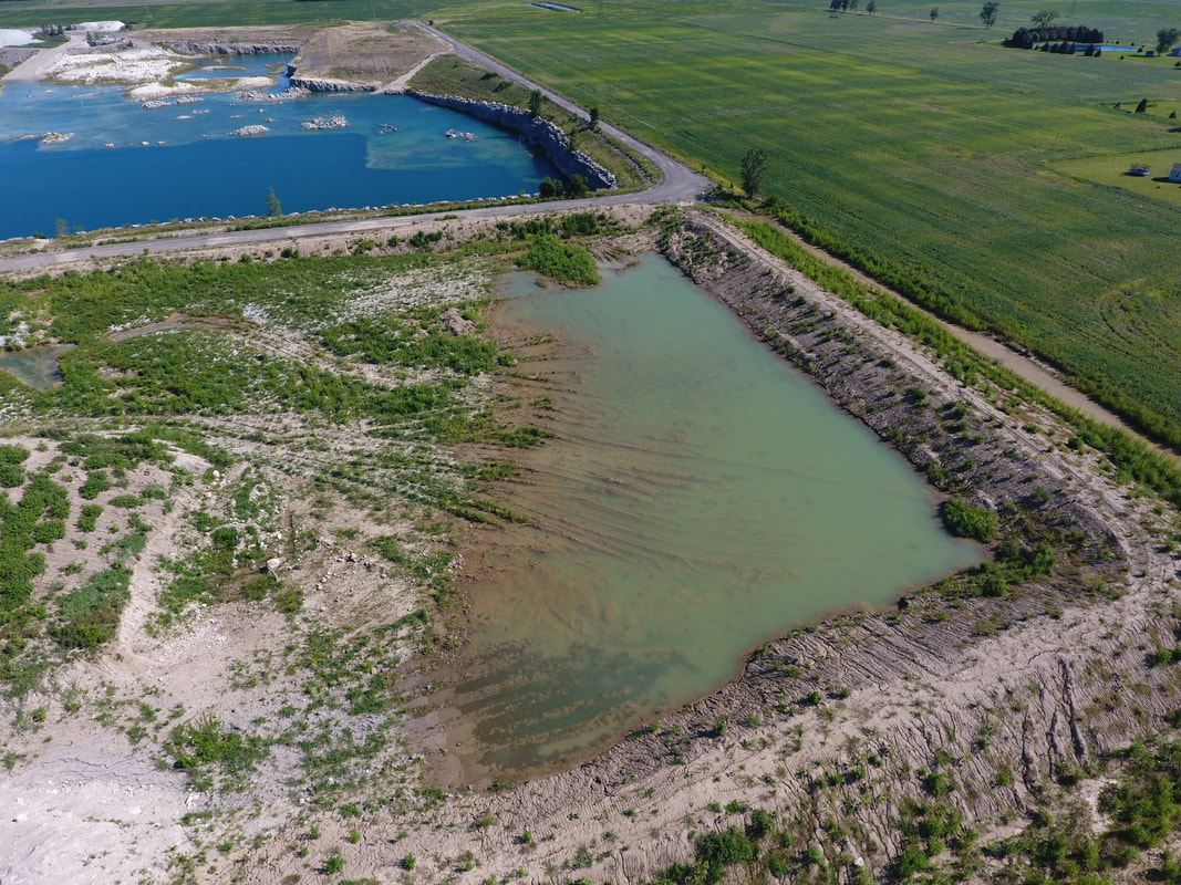
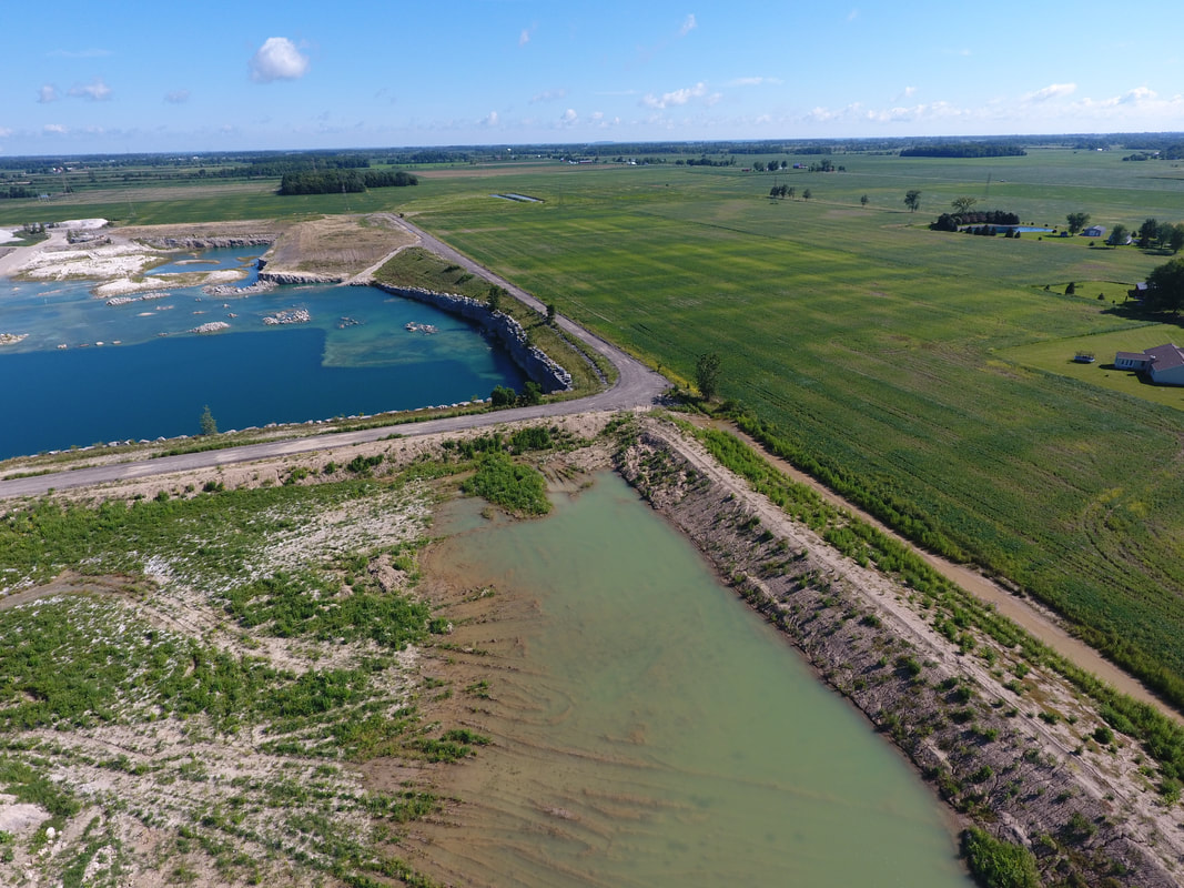
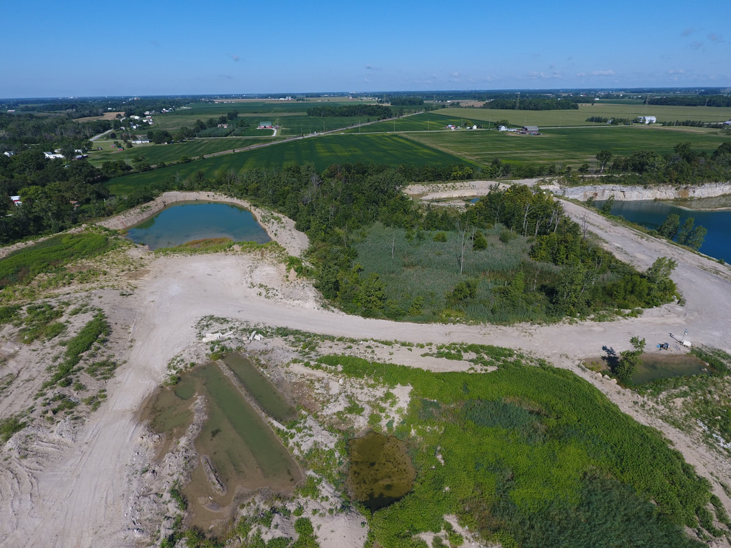
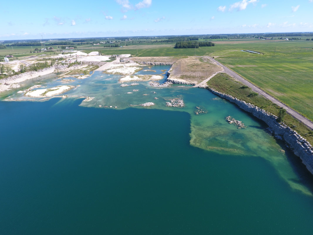
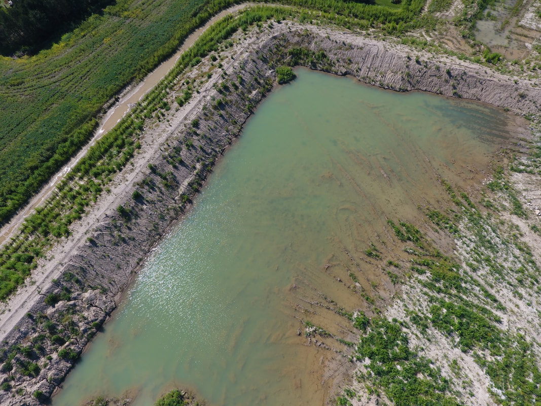
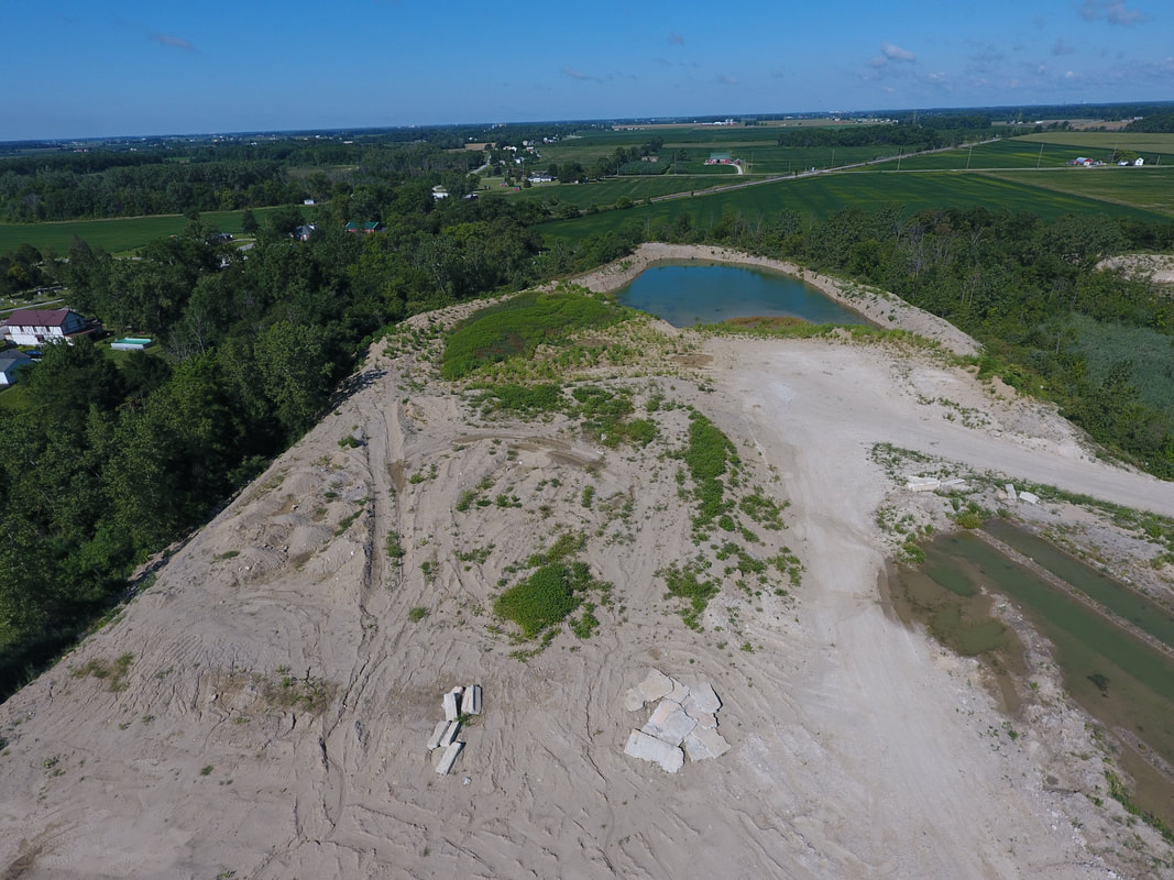
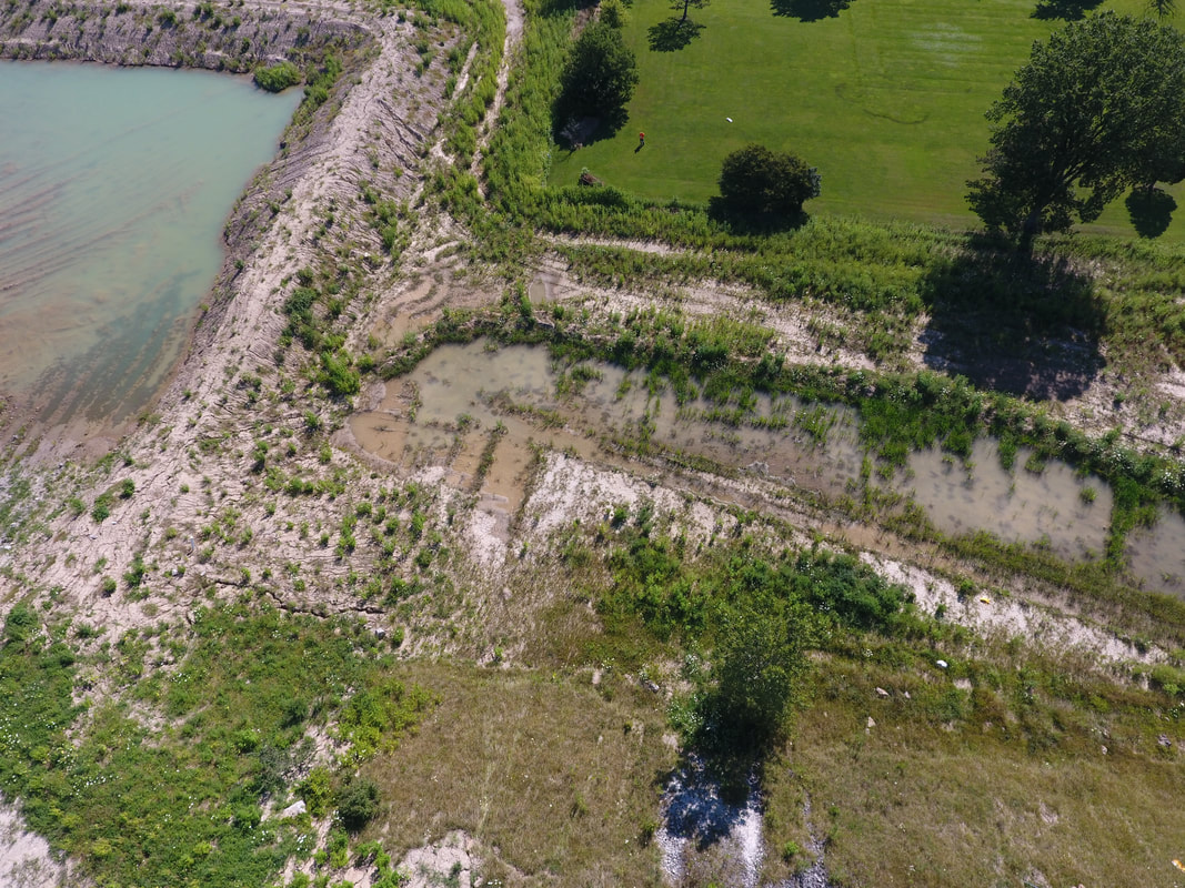
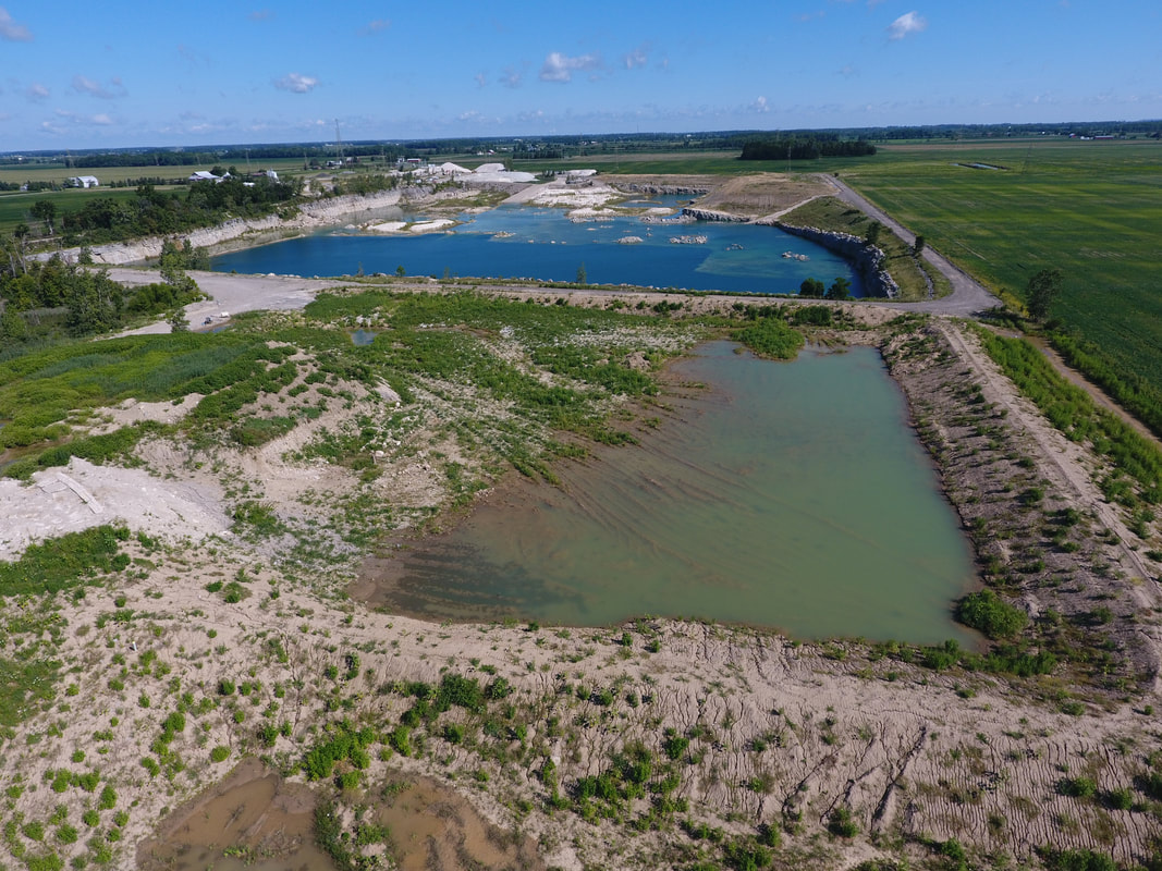
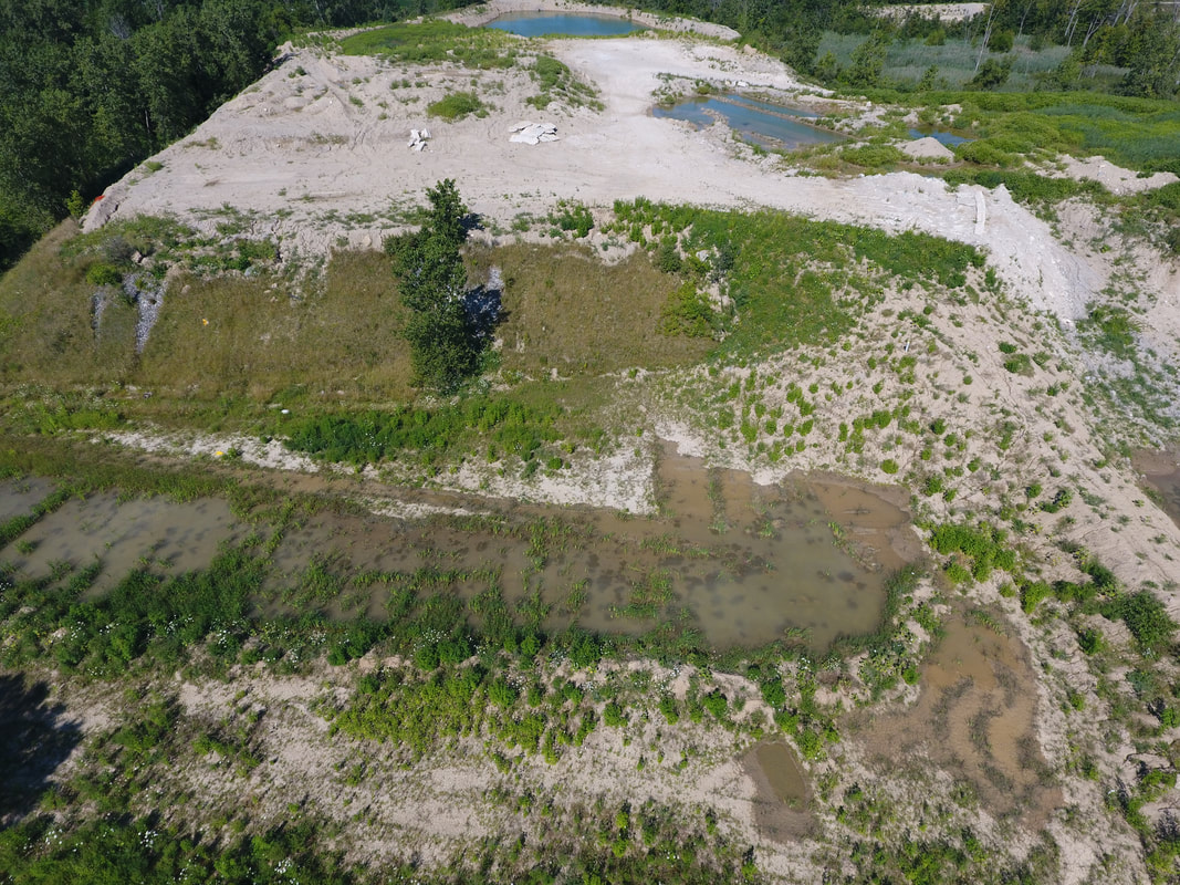
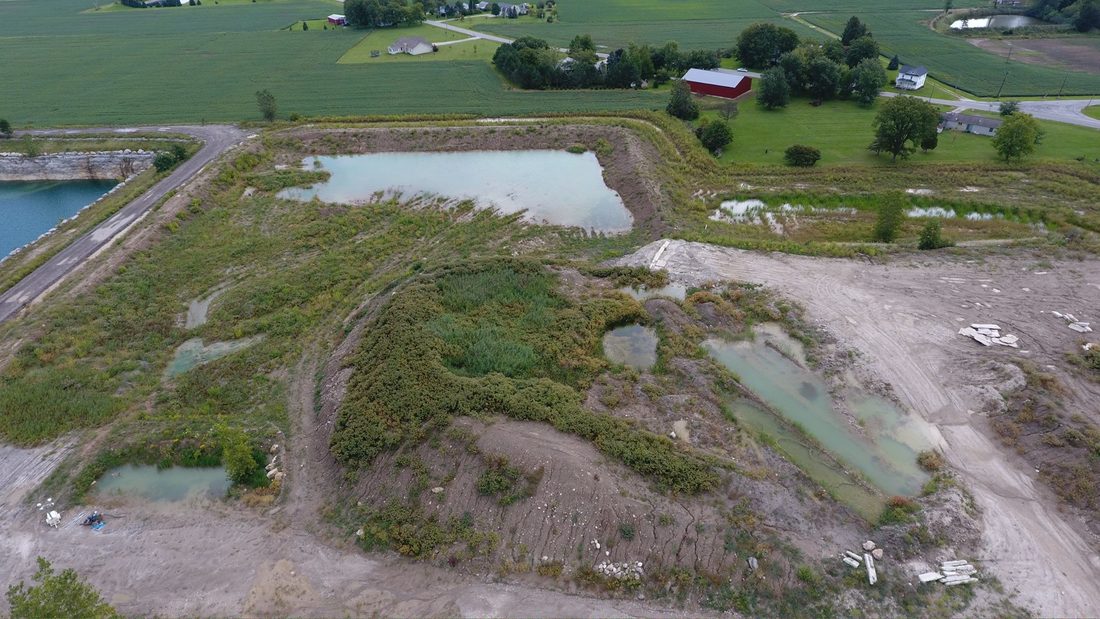
This is a close up of the Google Earth image from 04.22.16 showing the North East corner of the quarry. Please note the green slime in the cell. The permit requires the spent lime sludge to be dried and mixed into a homogenous blend with 1 part dry spent lime sludge and 2 parts native soil. The photo suggests the spent lime sludge was dumped directly into a pit excavated to bedrock.
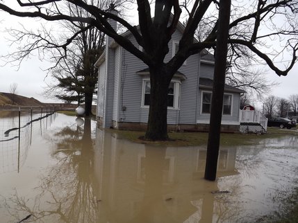
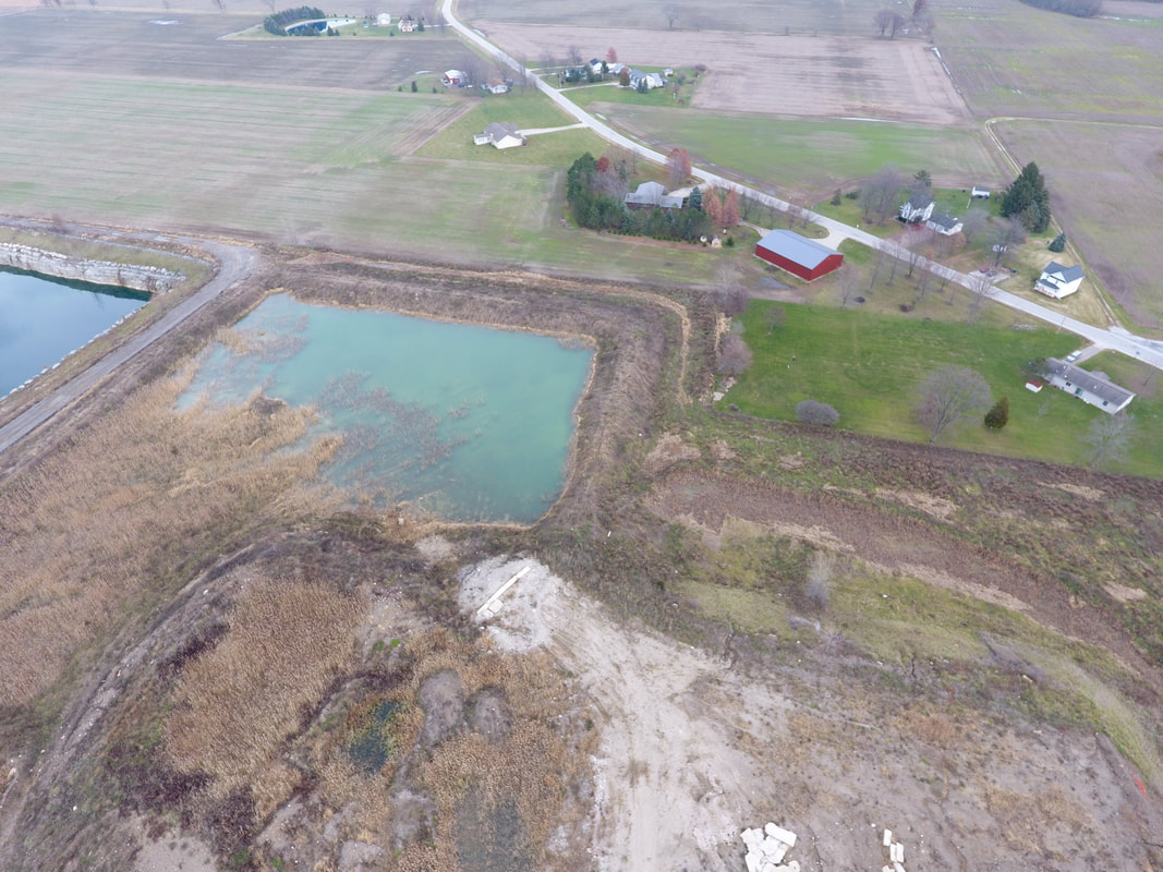
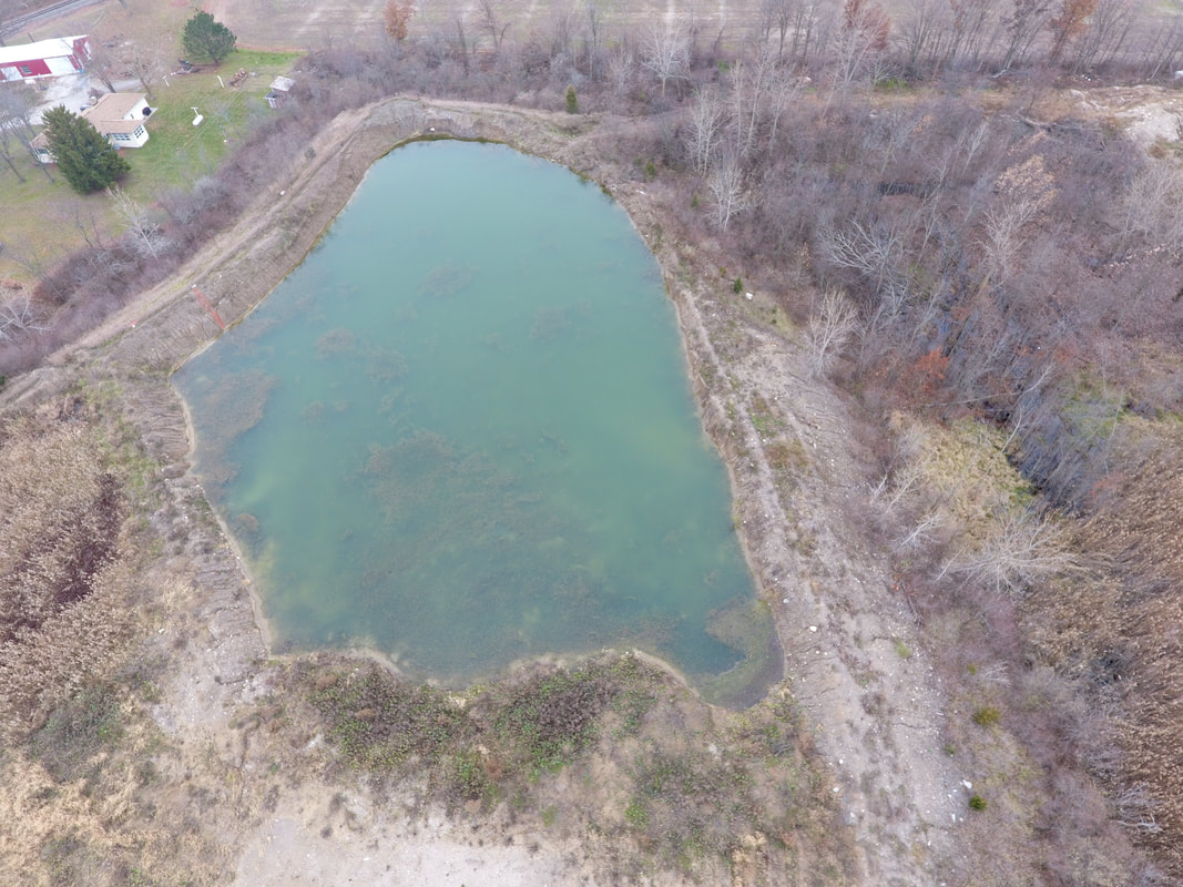
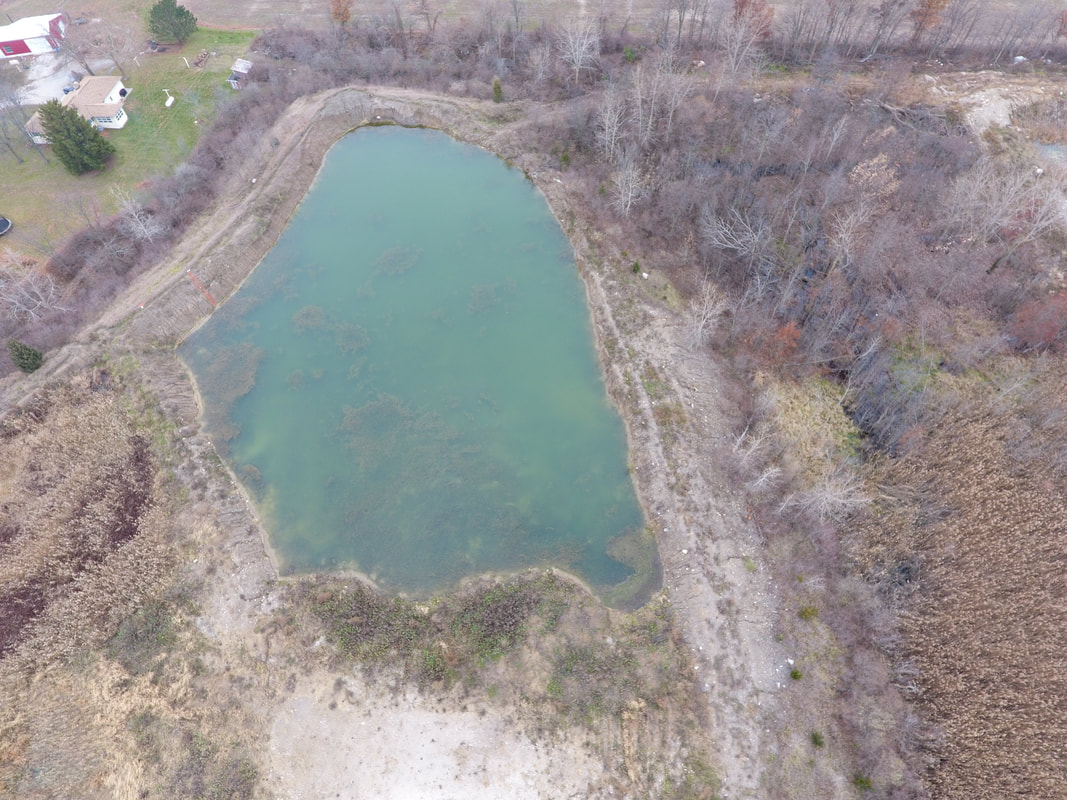
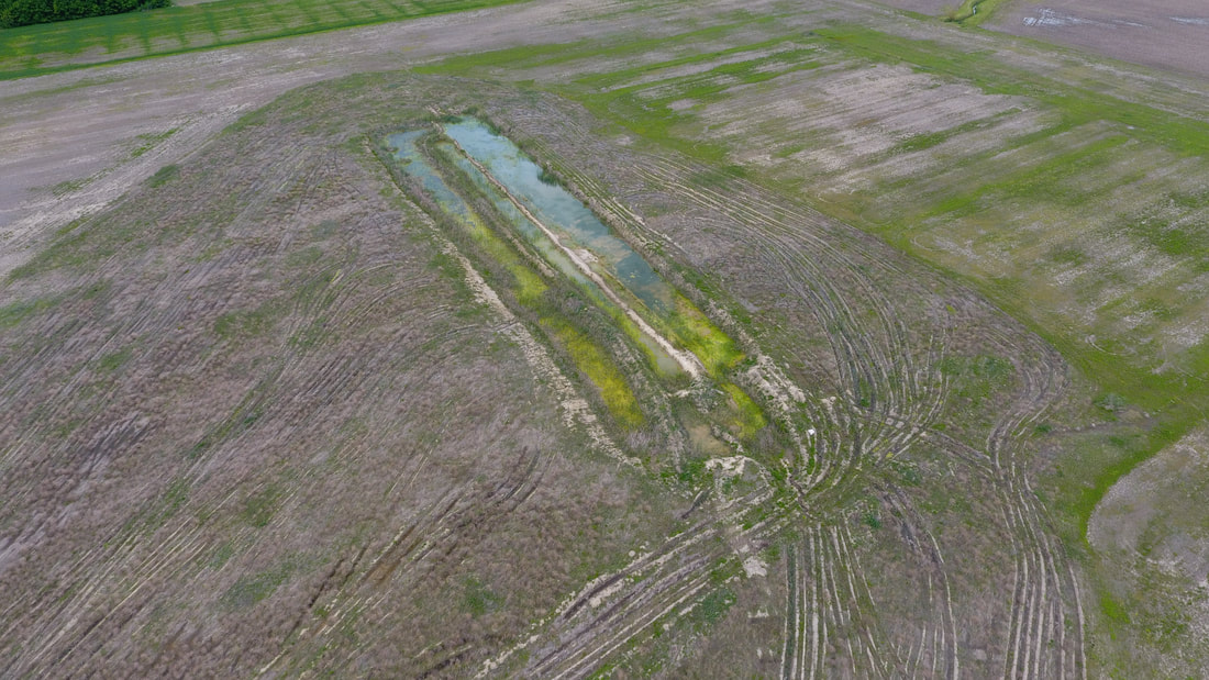
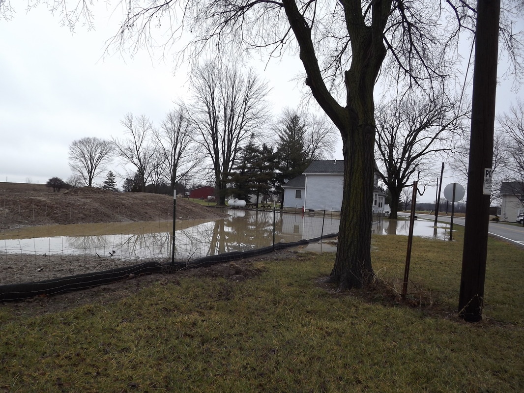
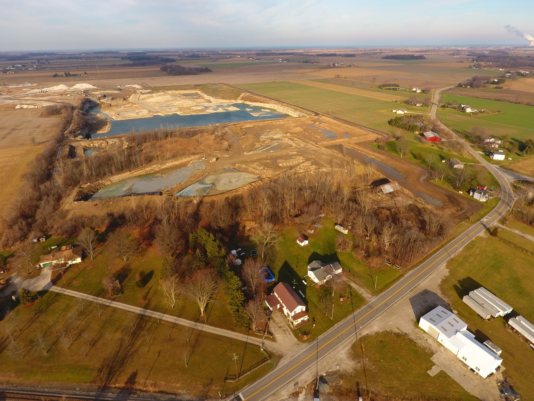
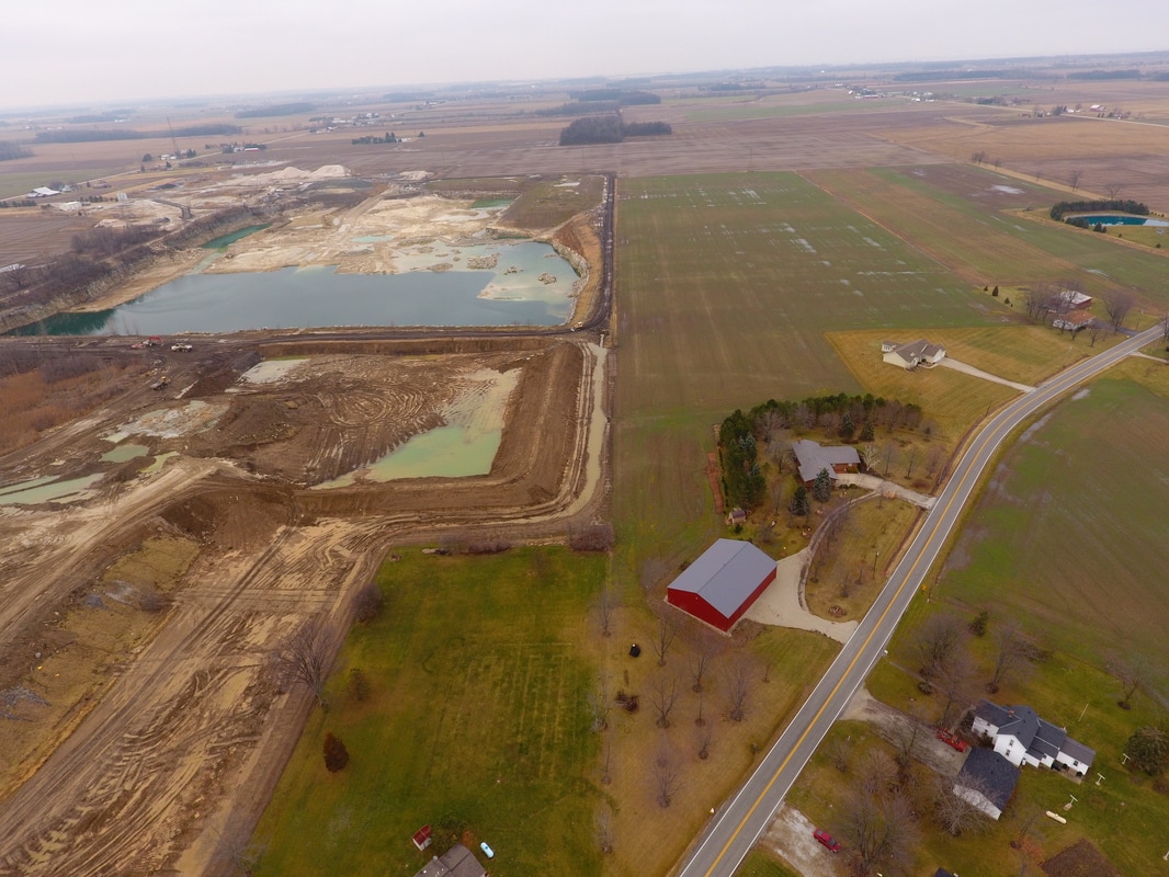
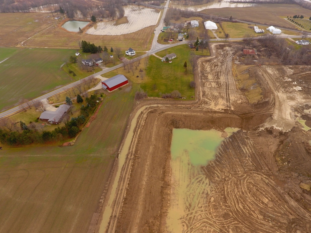
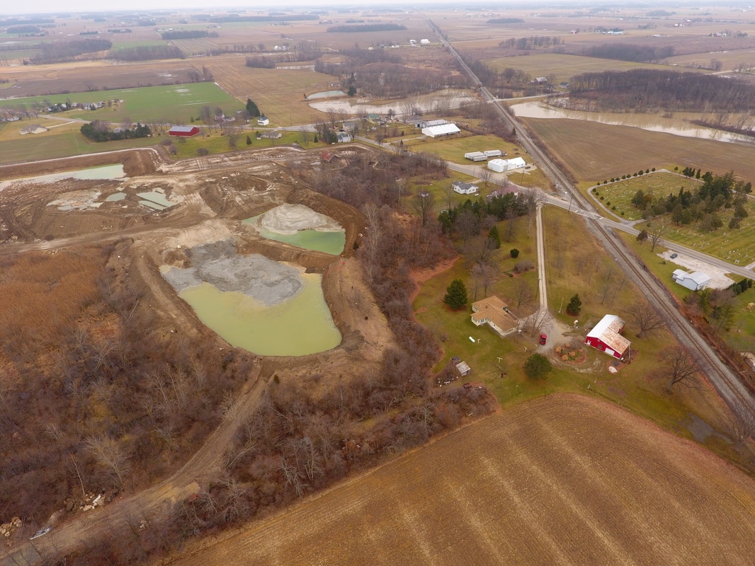
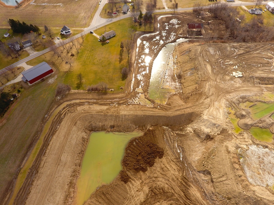
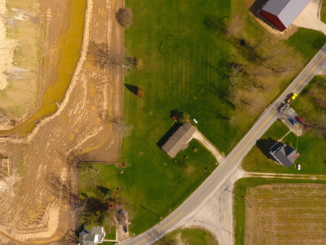
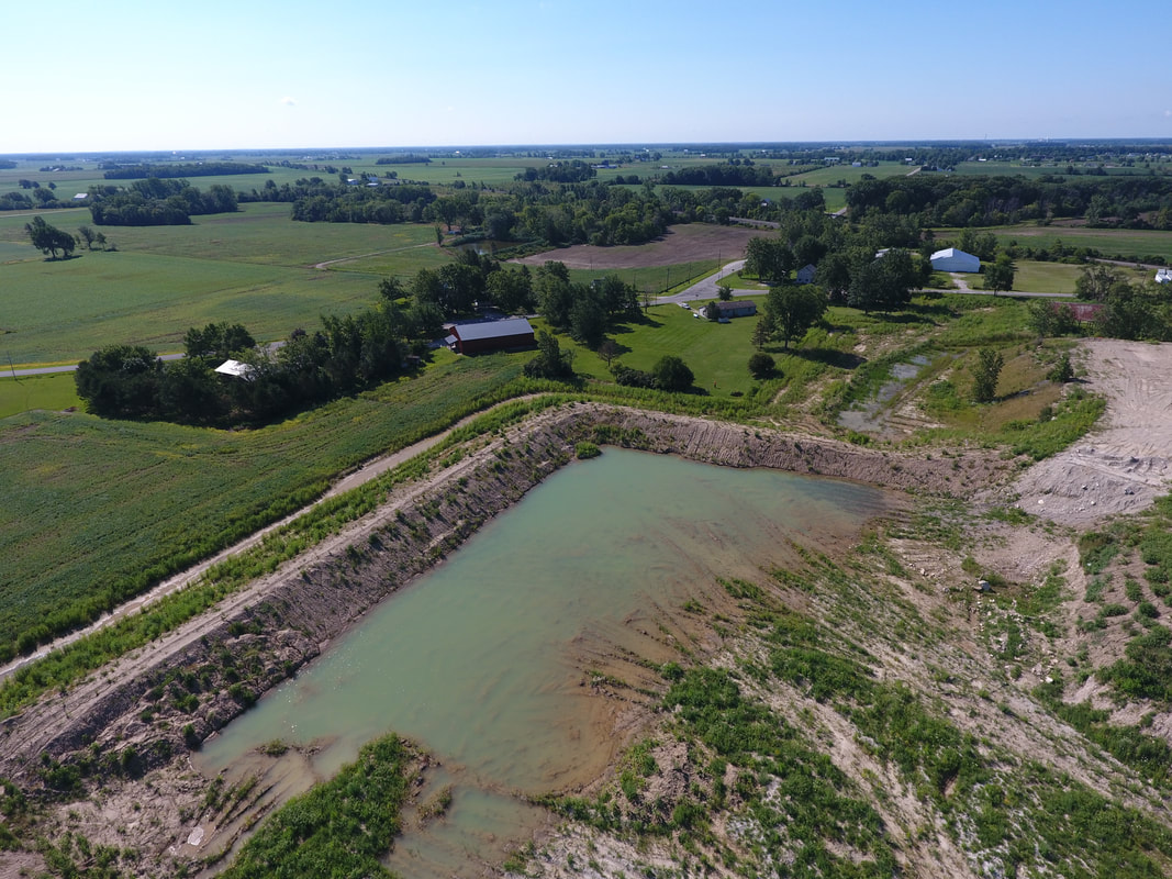
1-12-17. Adjacent to the southern boarder of the RRD property a neighboring home floods after less than one inch of rain. The owner had never experienced flooding like this in the past.
|
|
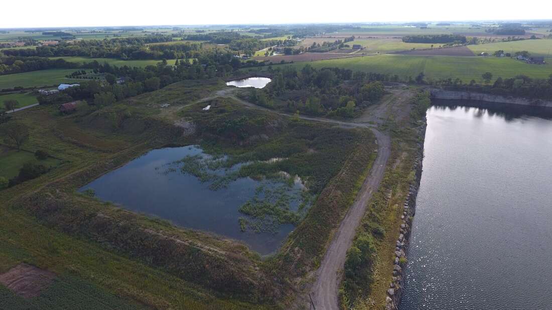
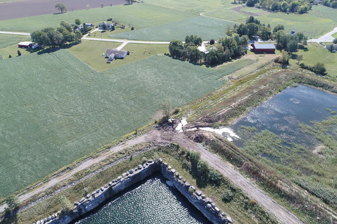
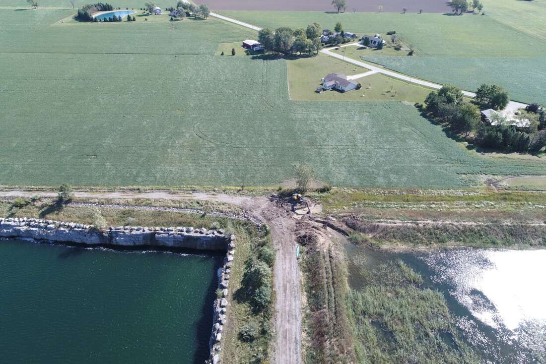
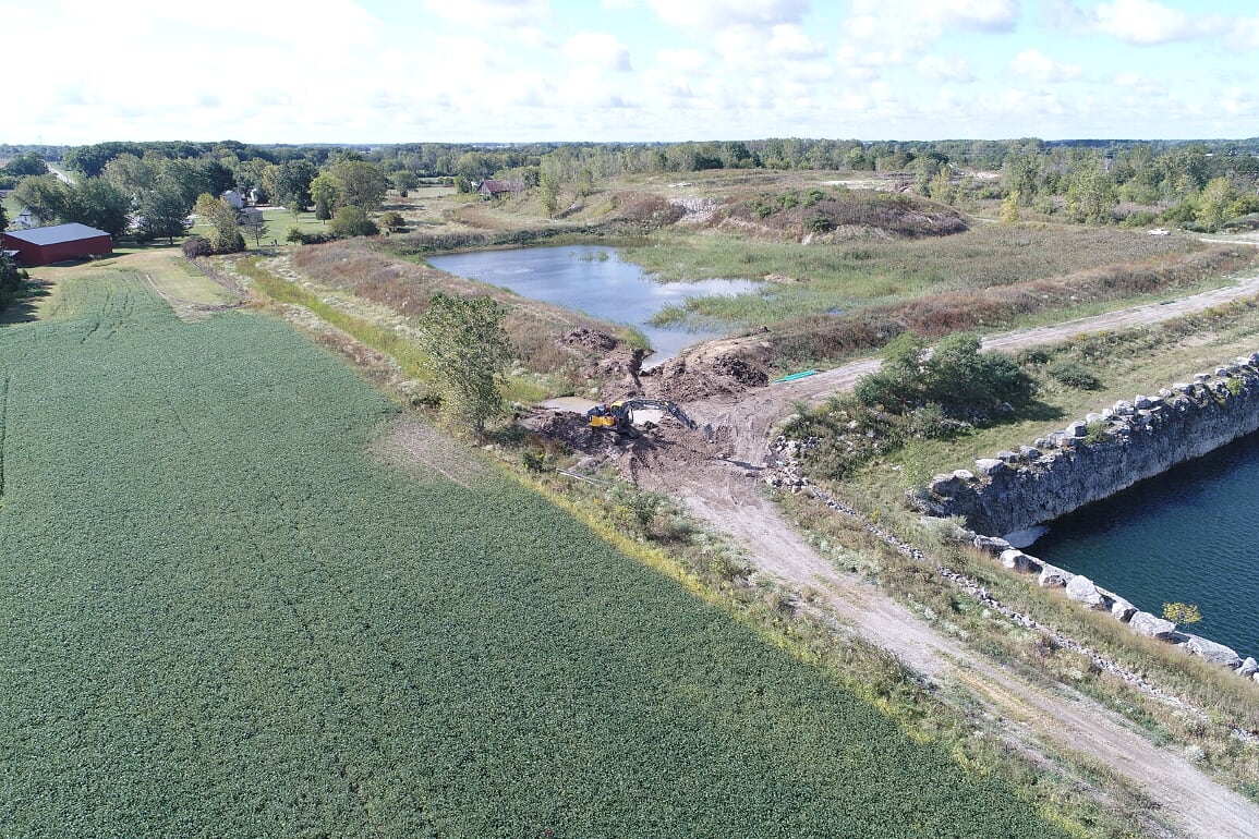
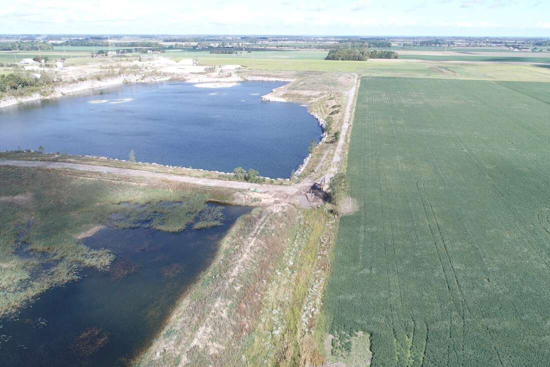
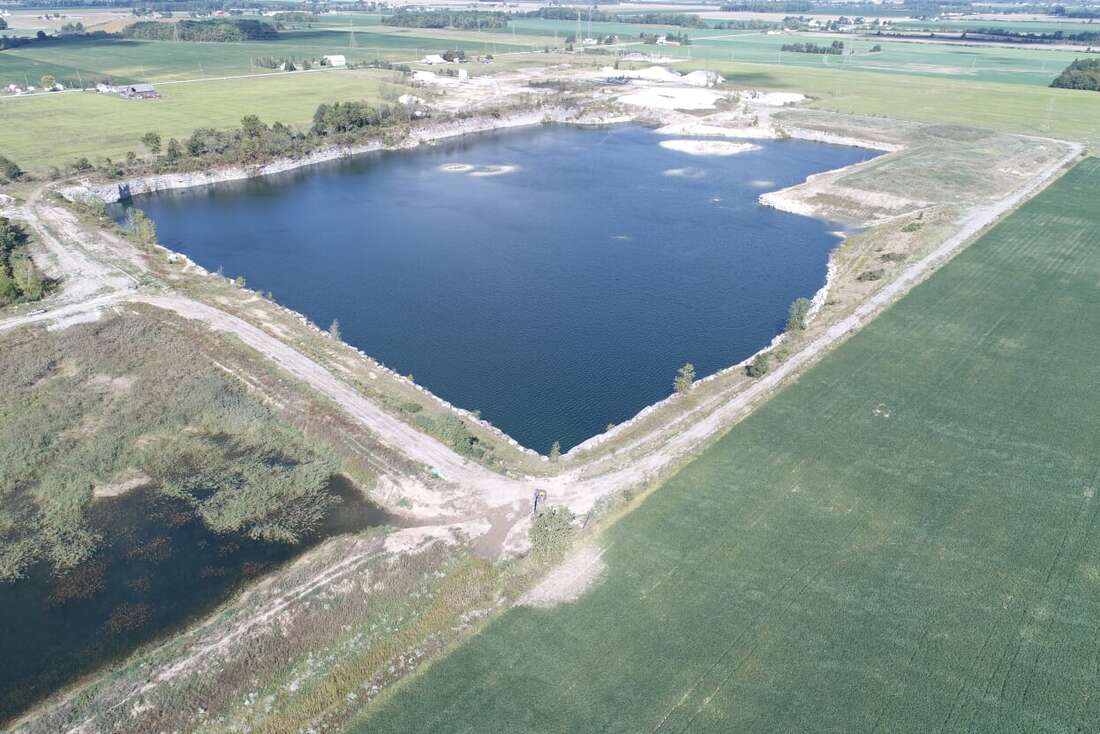
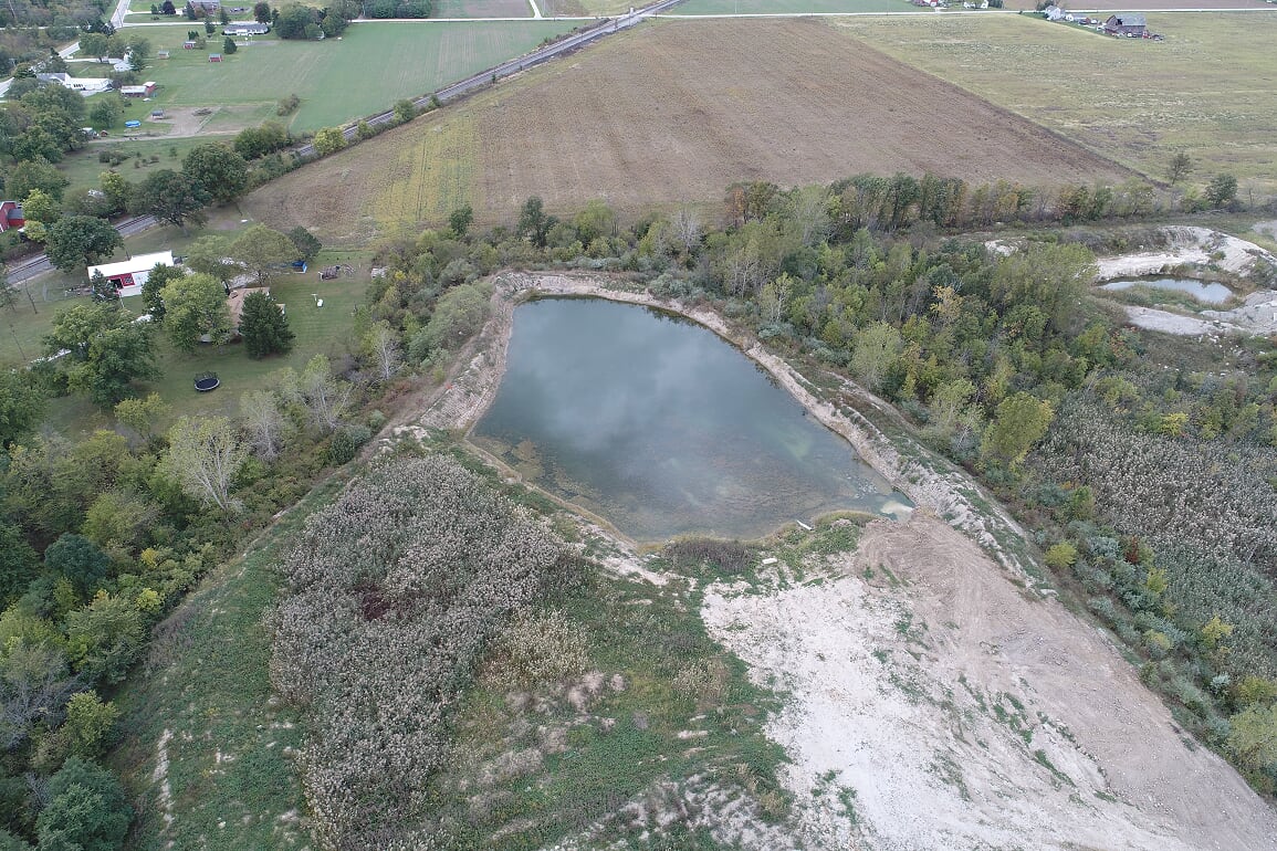
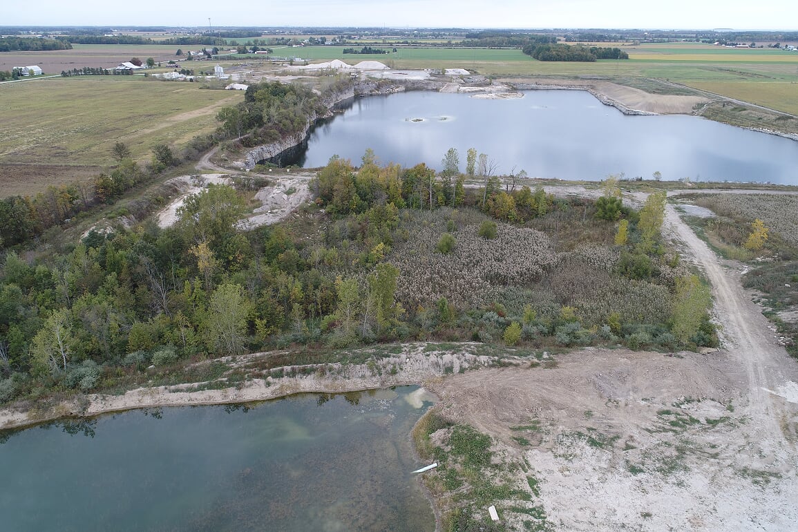
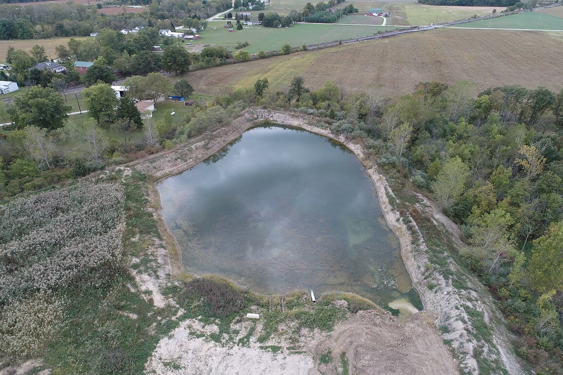
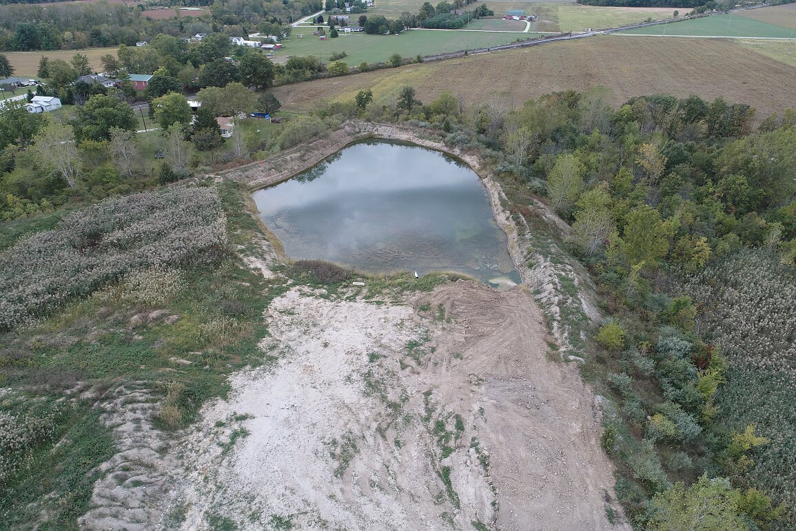
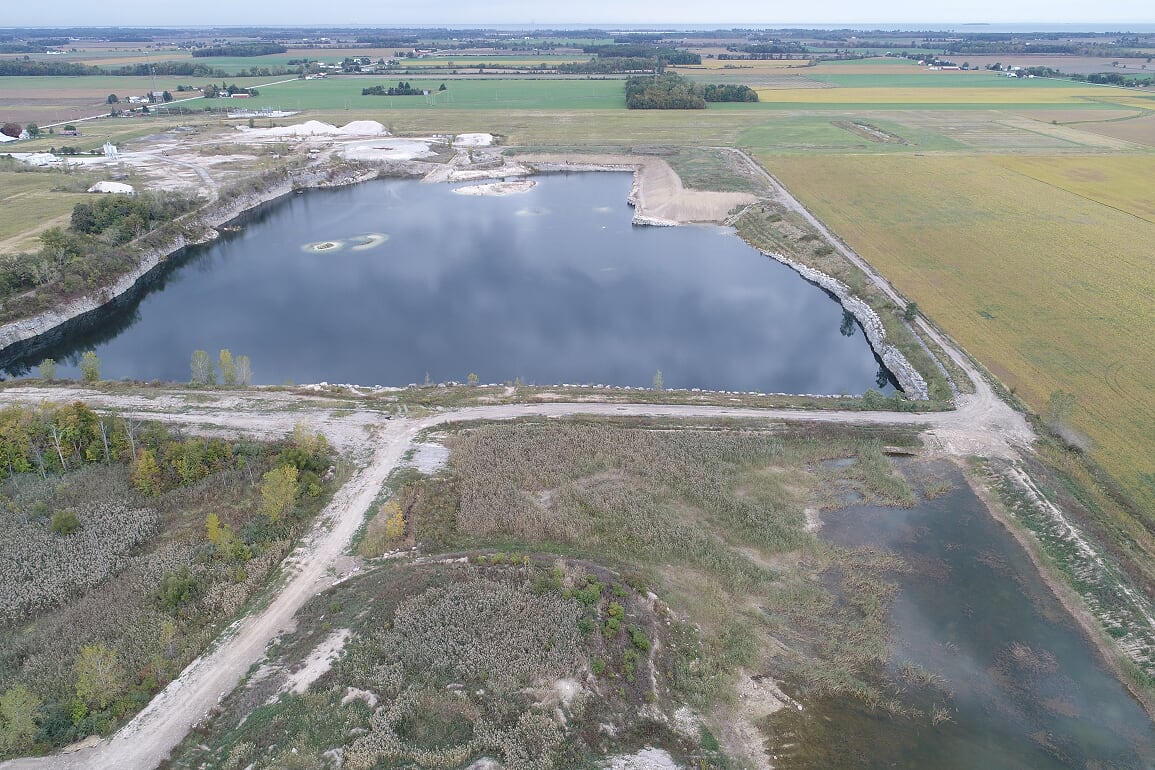
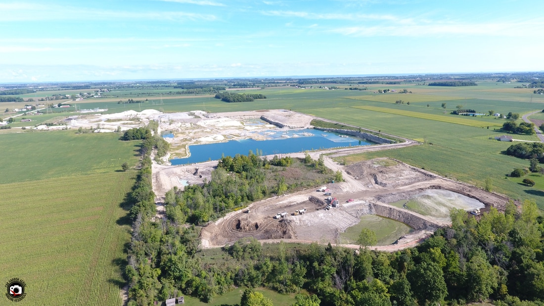
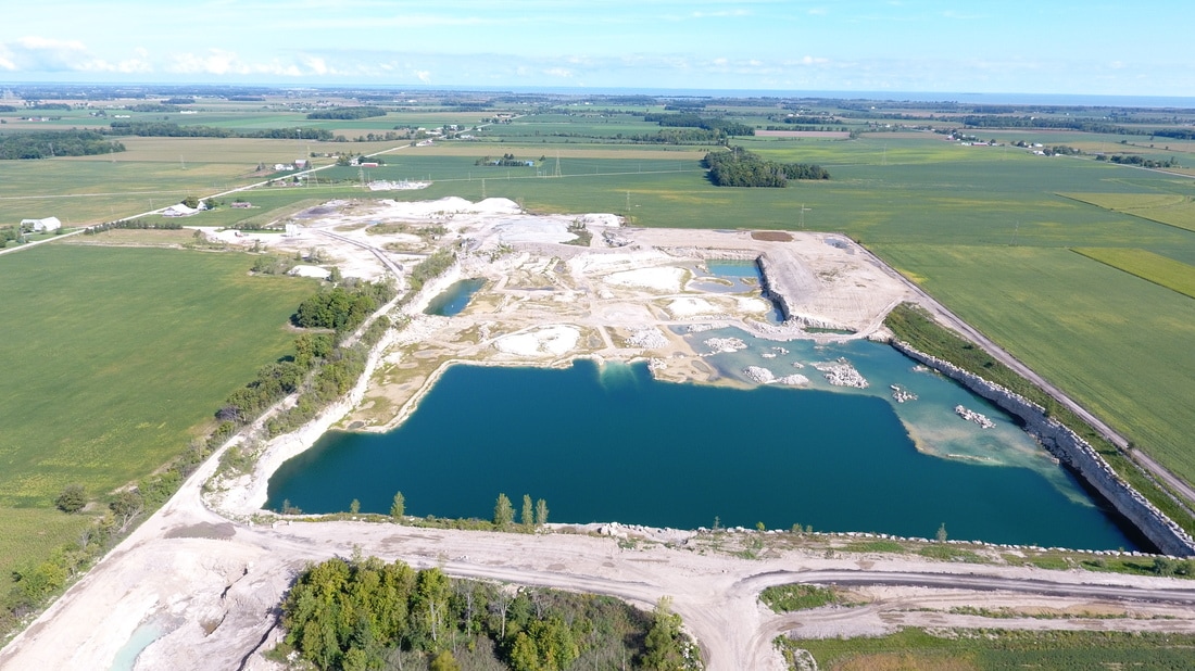
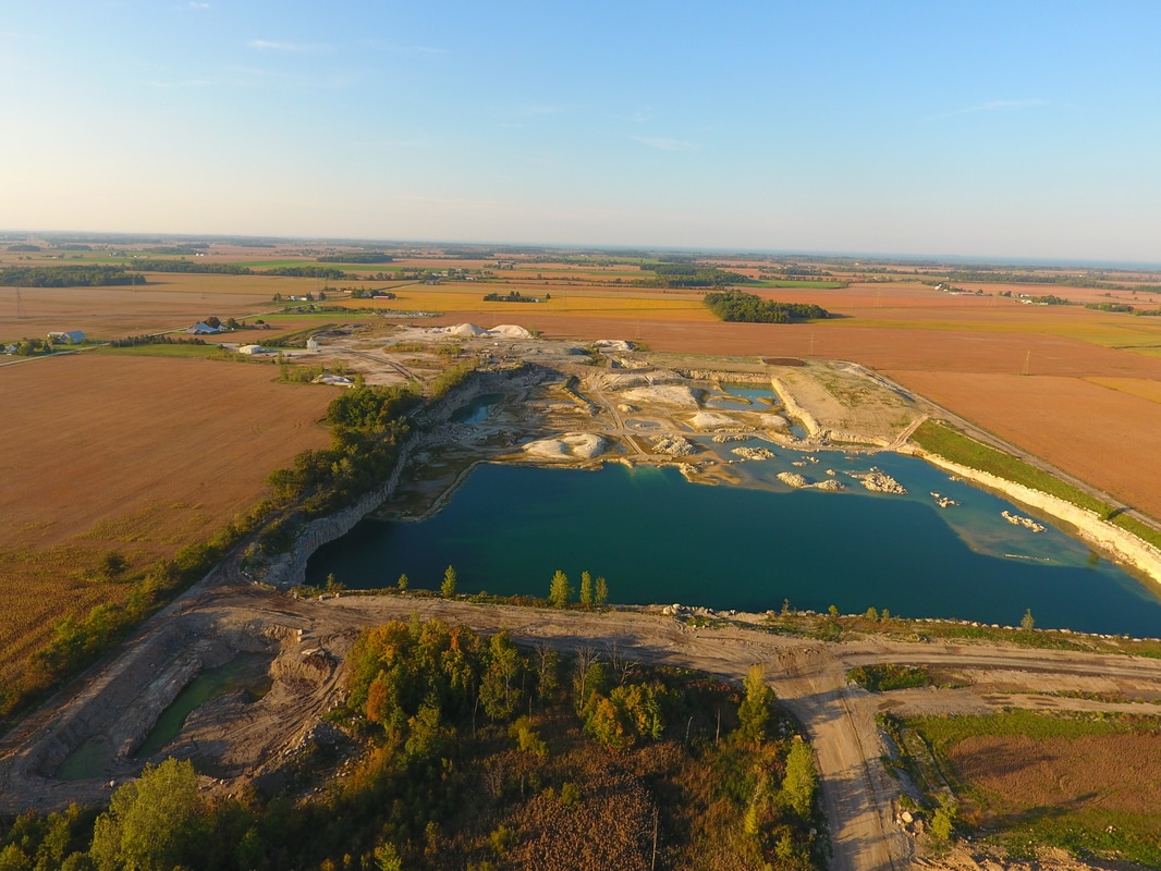
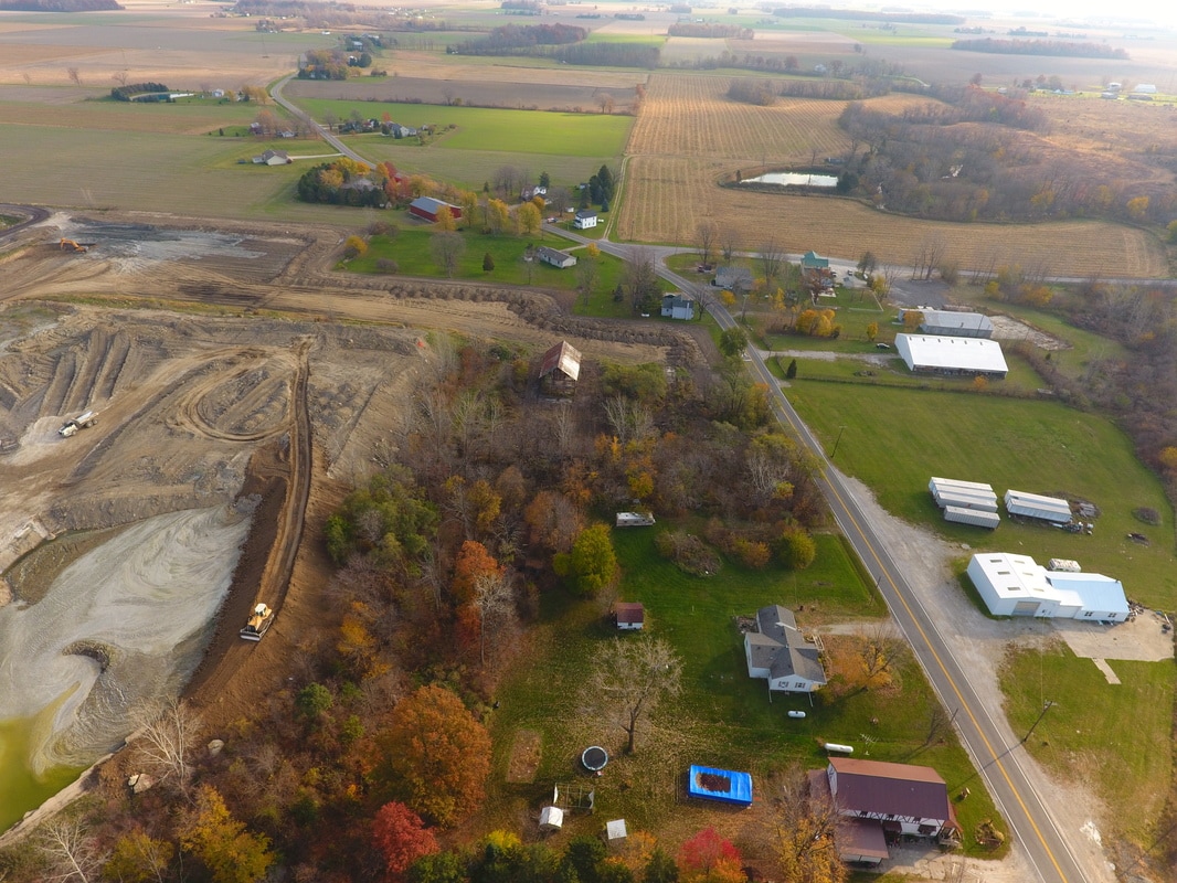
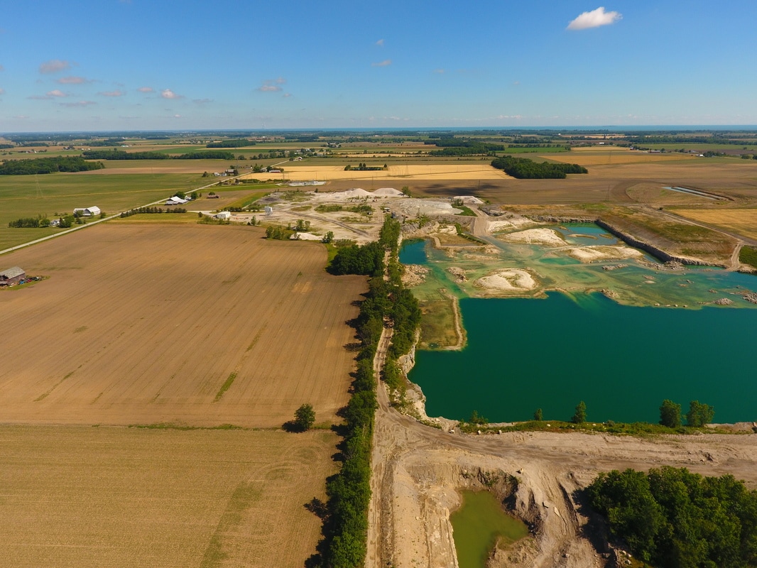
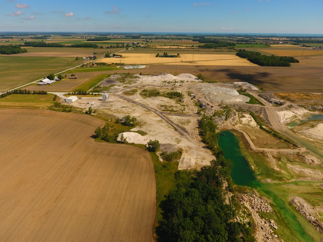
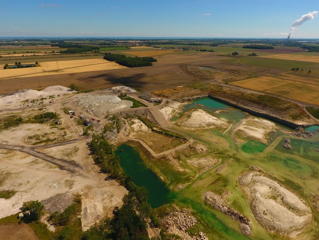
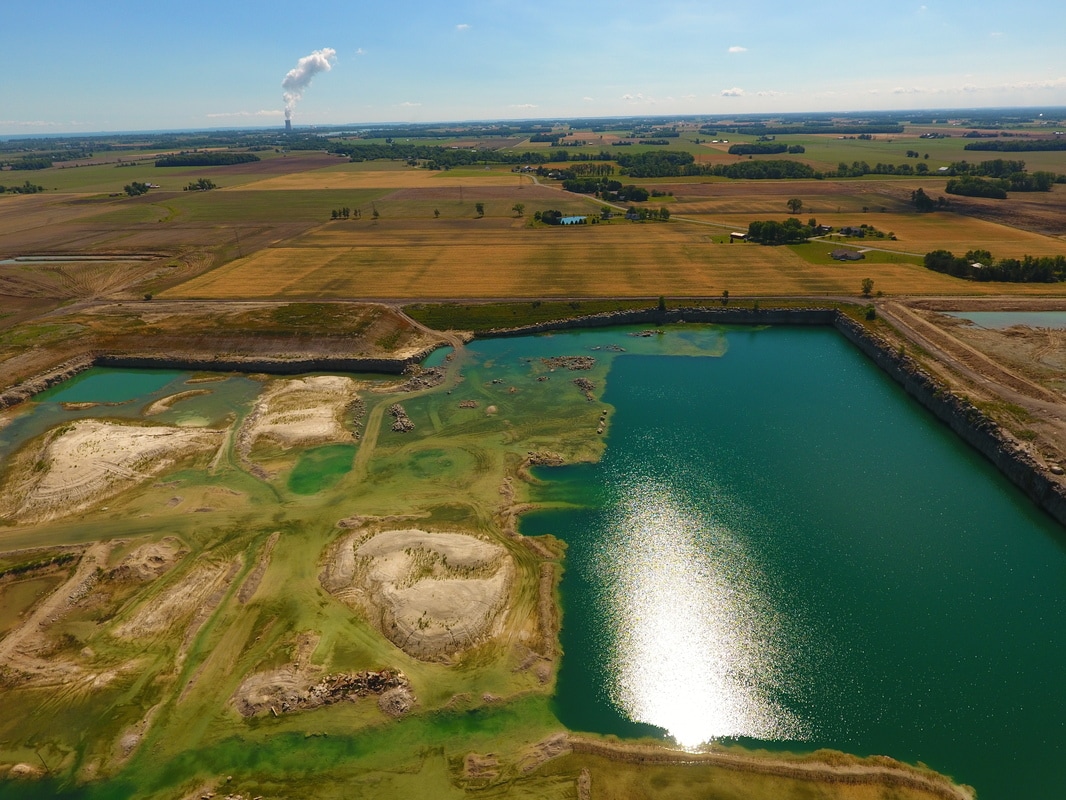
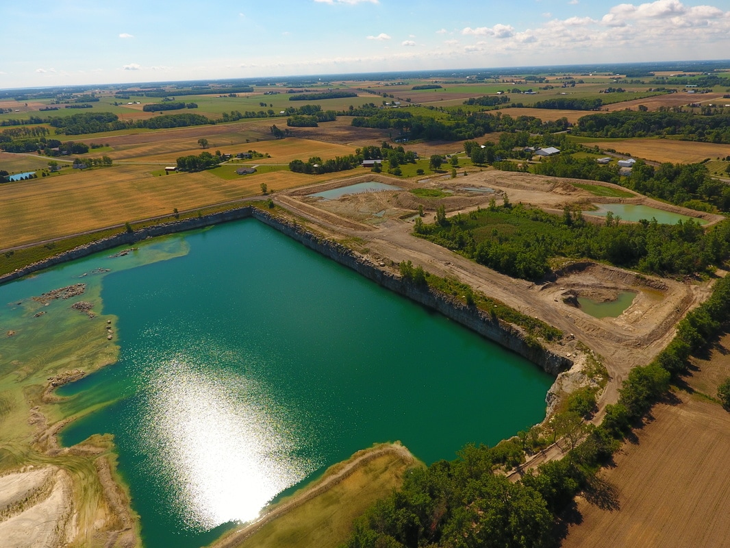
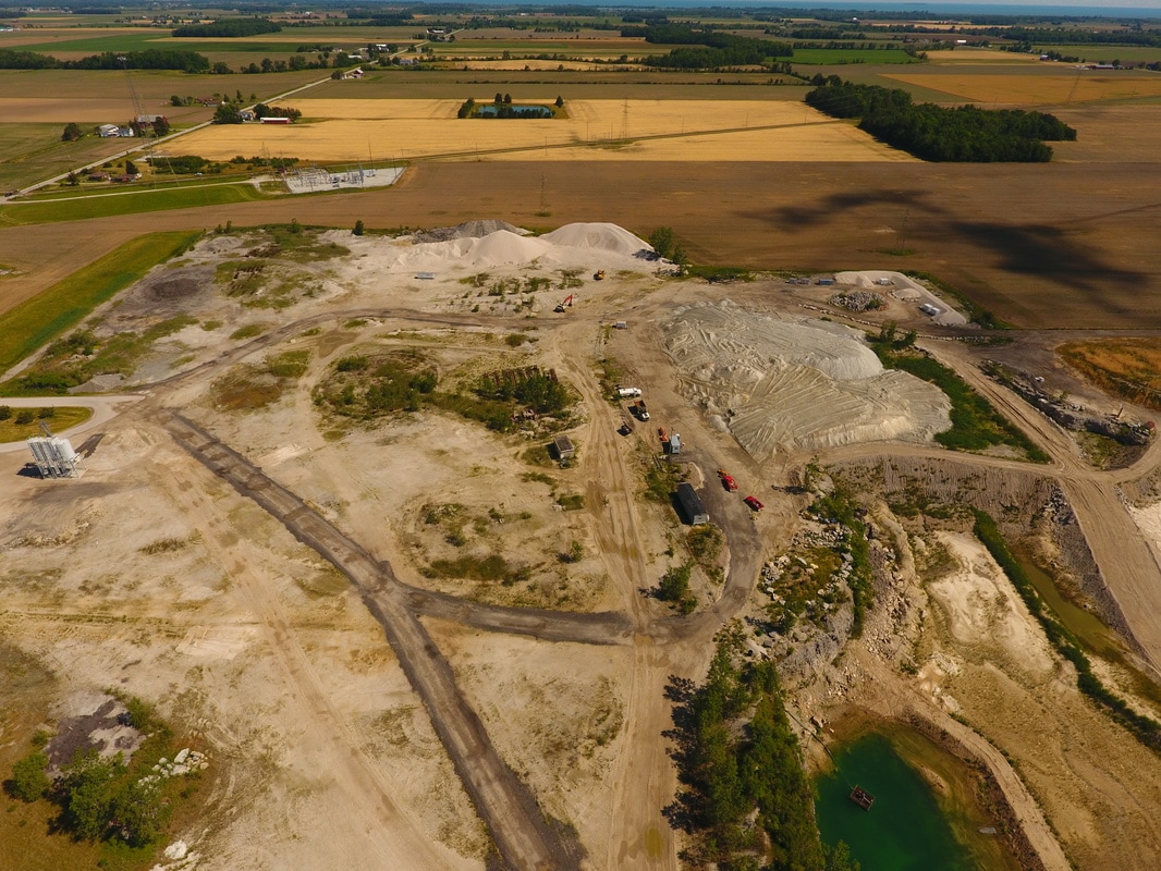
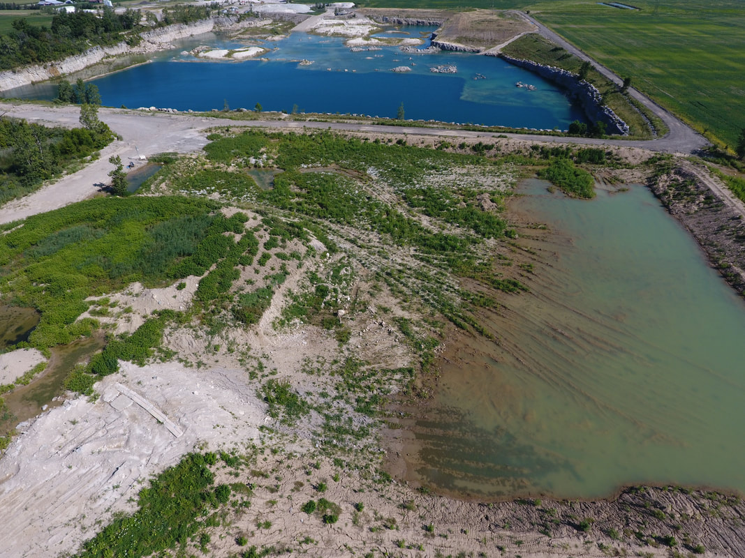
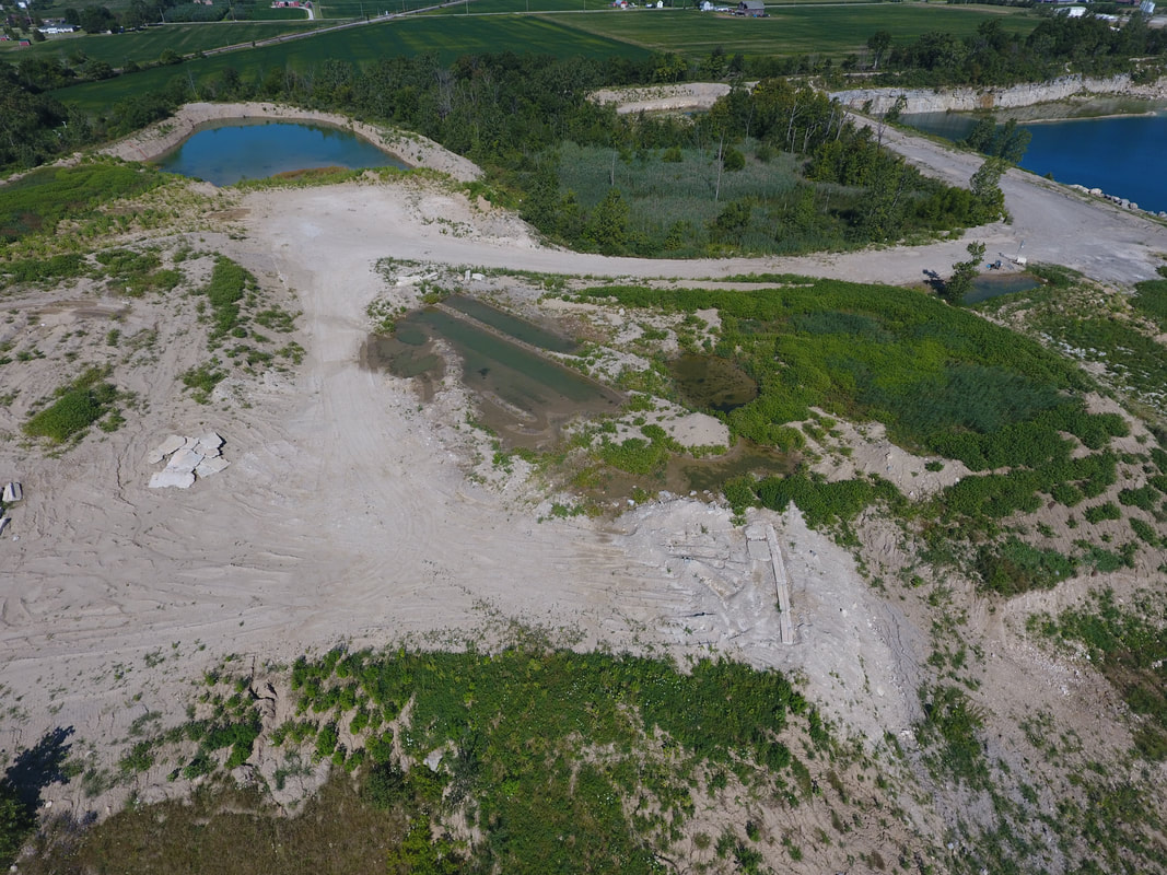
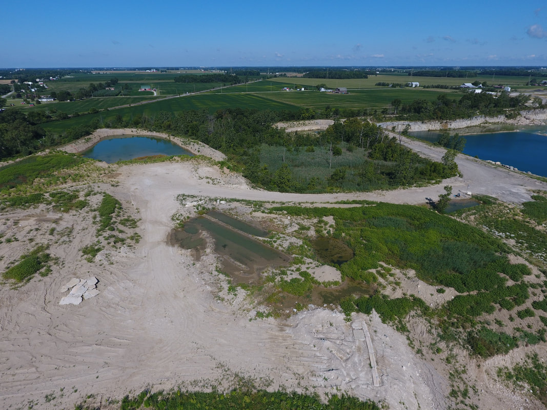
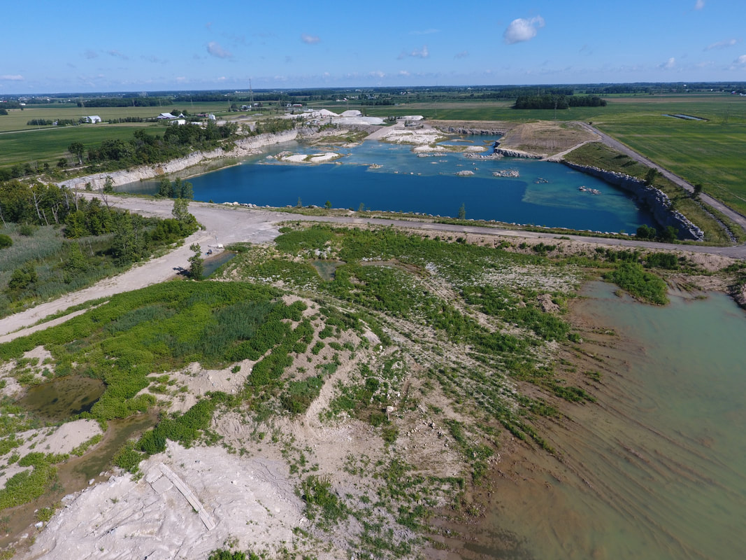
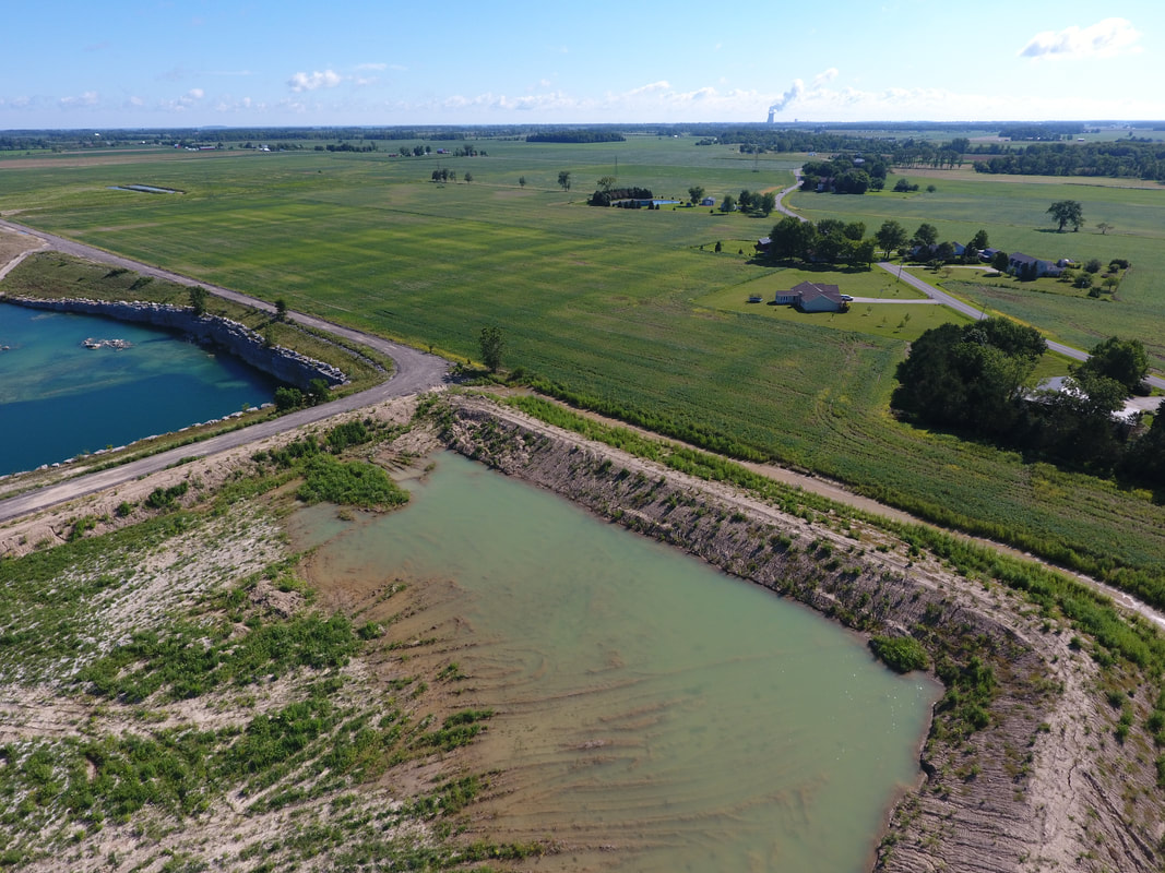
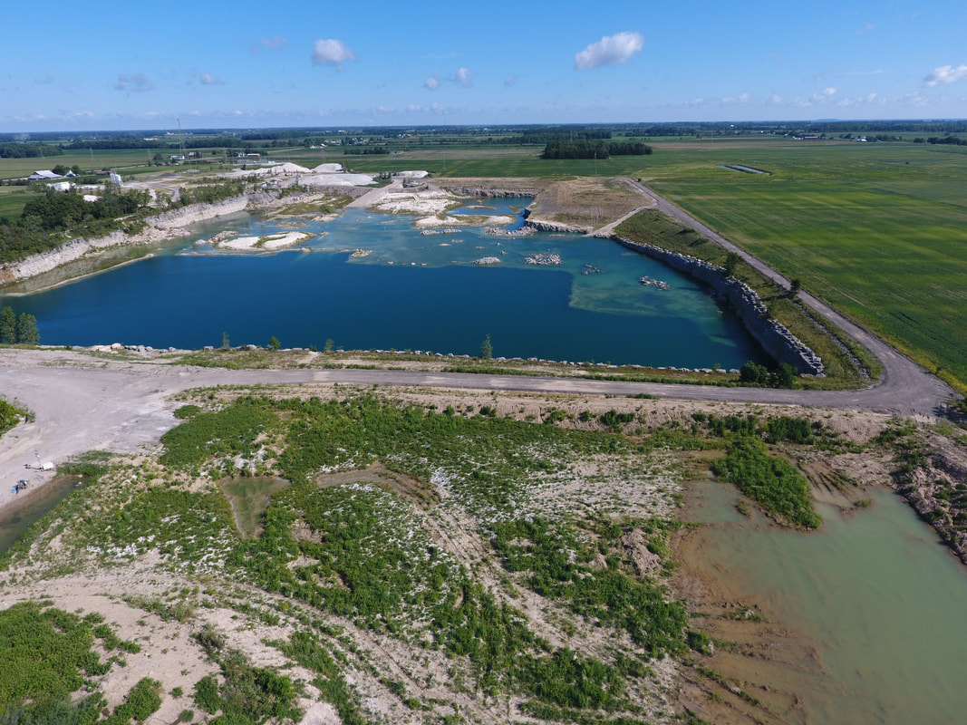
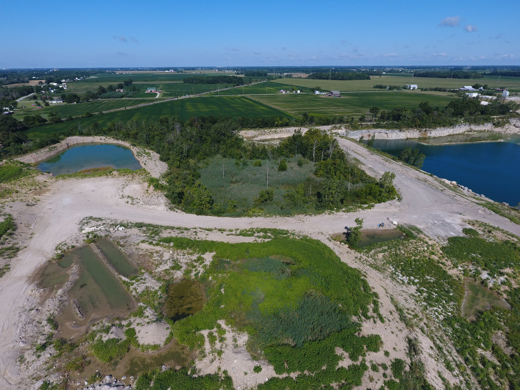
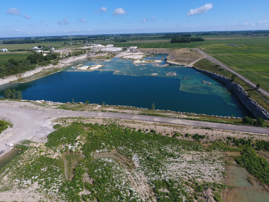
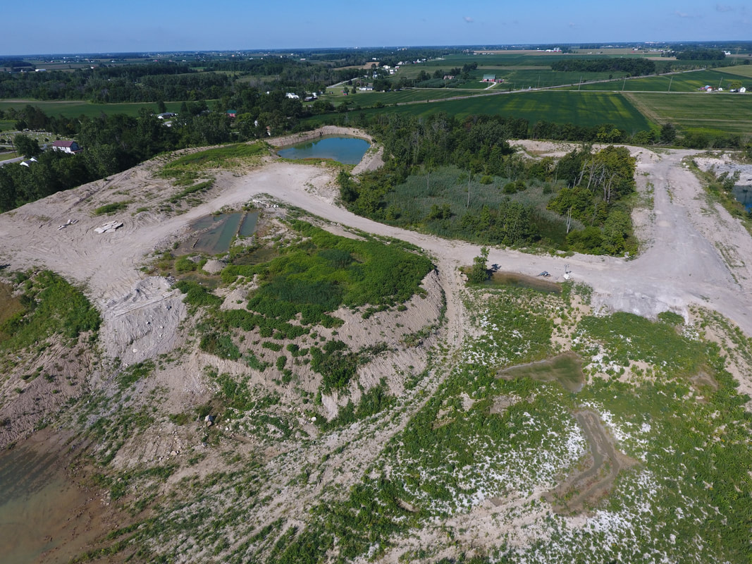
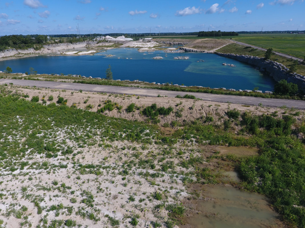
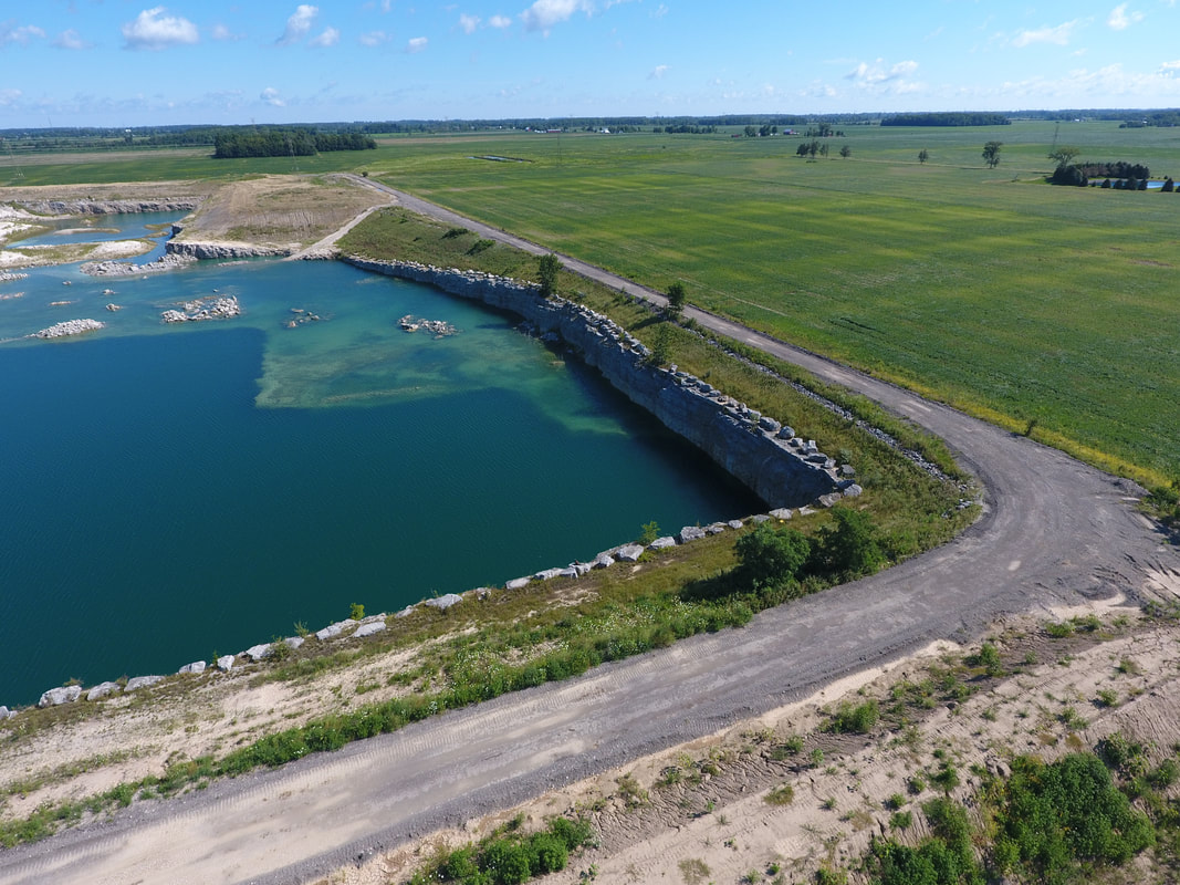
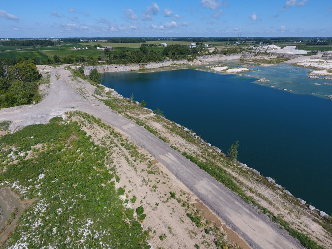
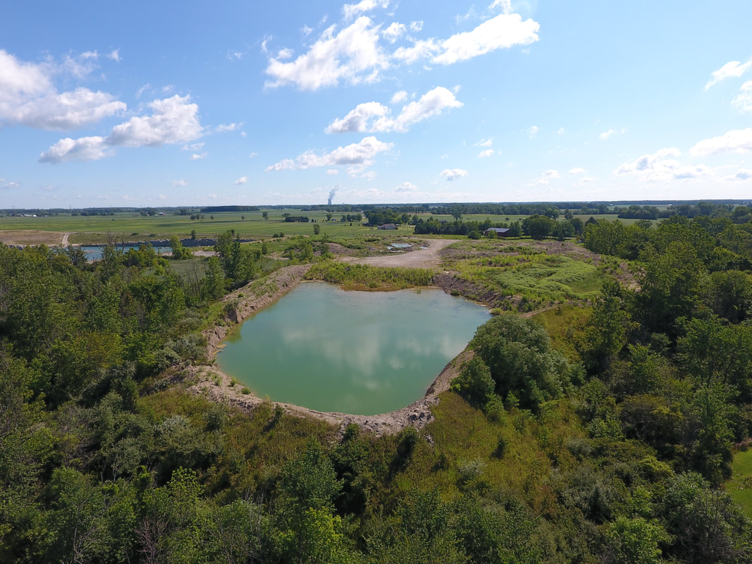
September 2016
|
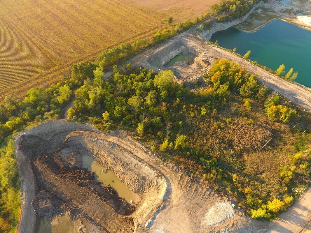
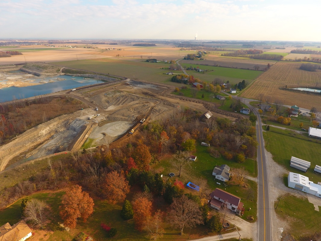
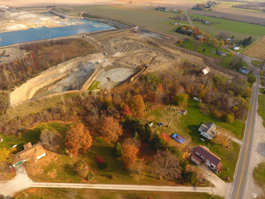
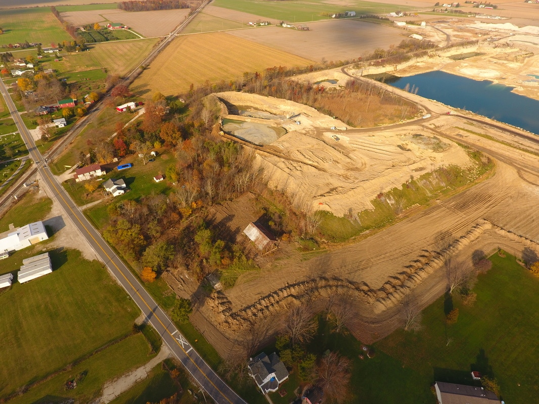
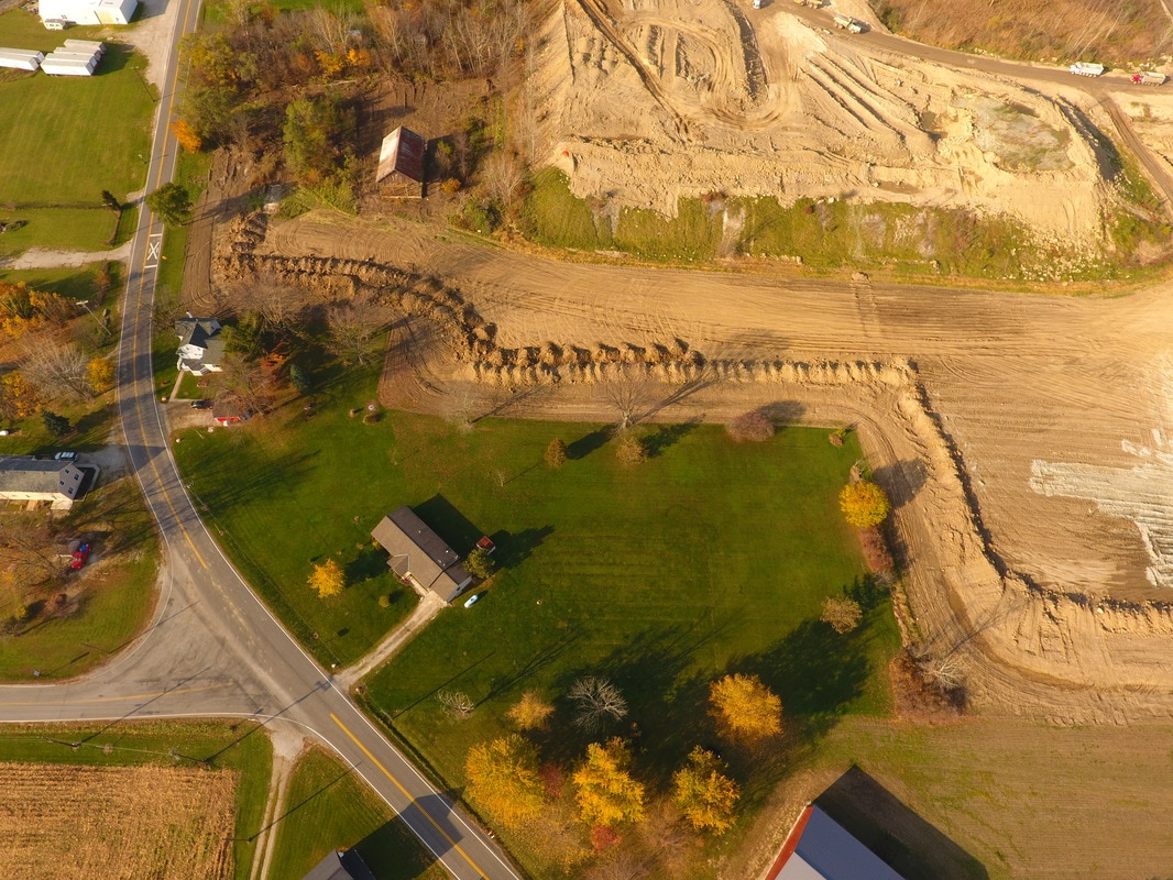
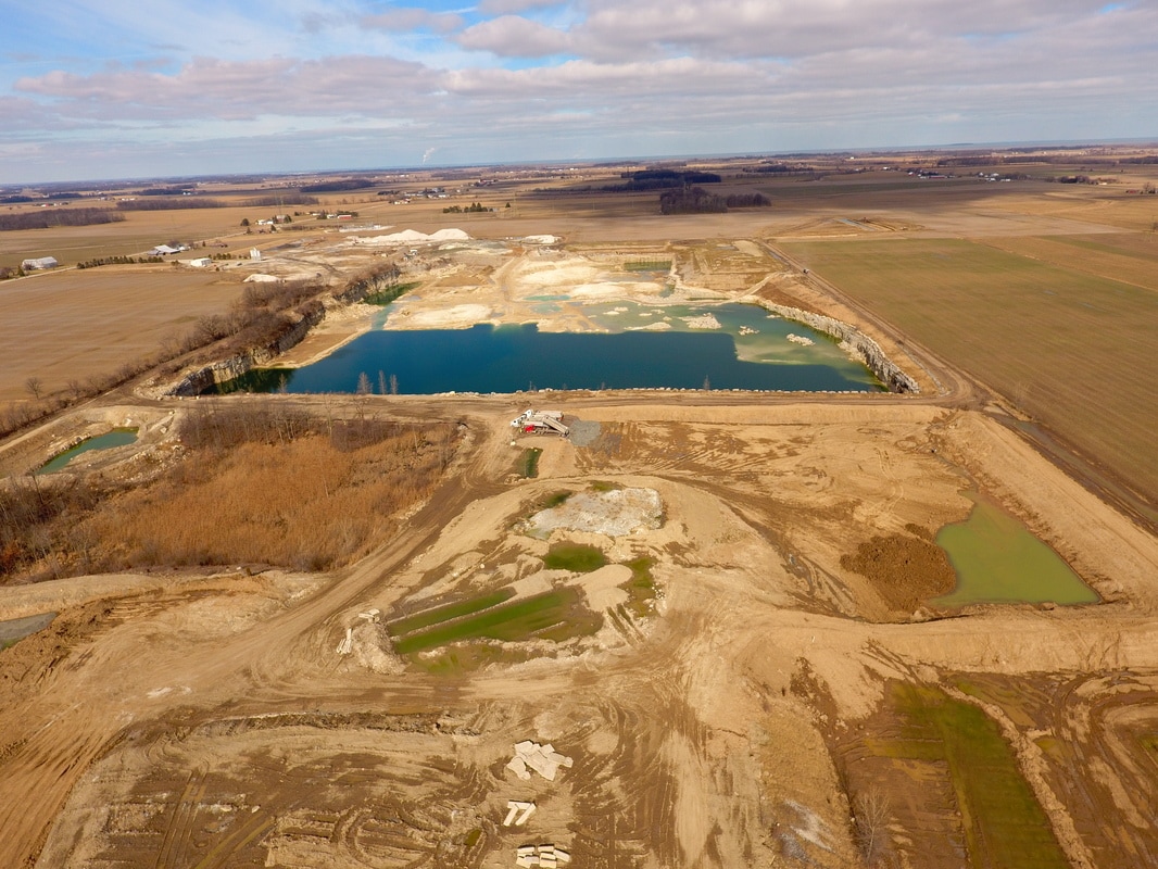
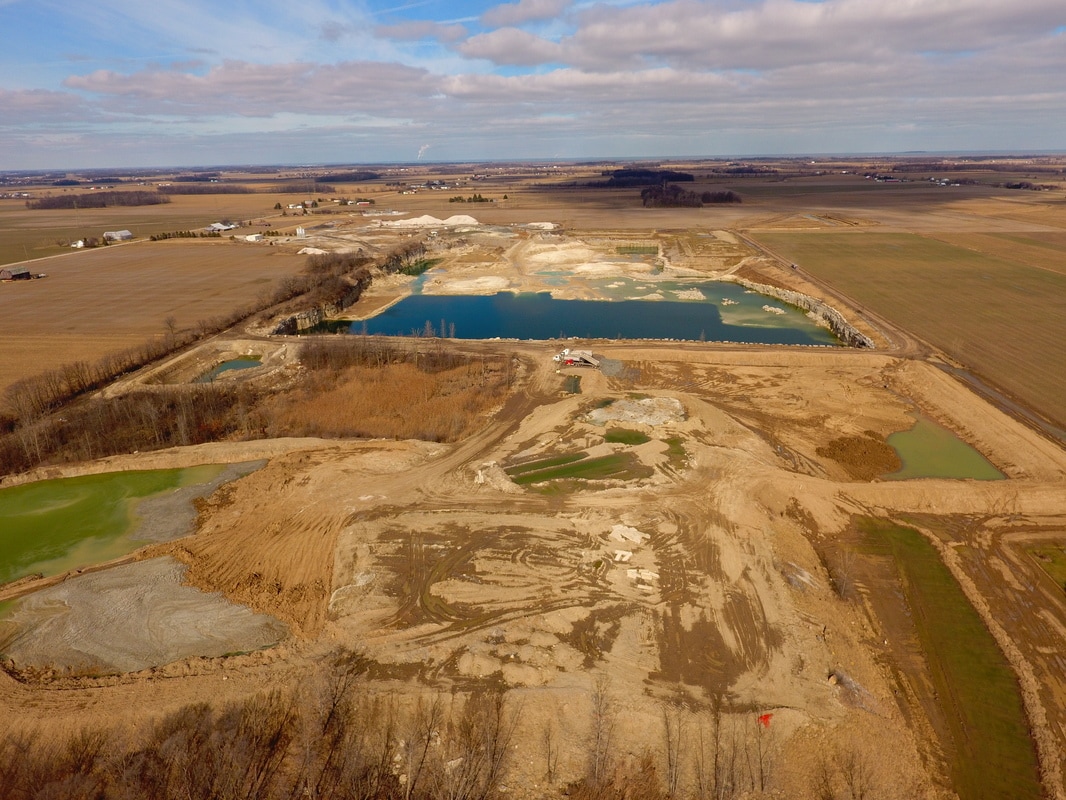
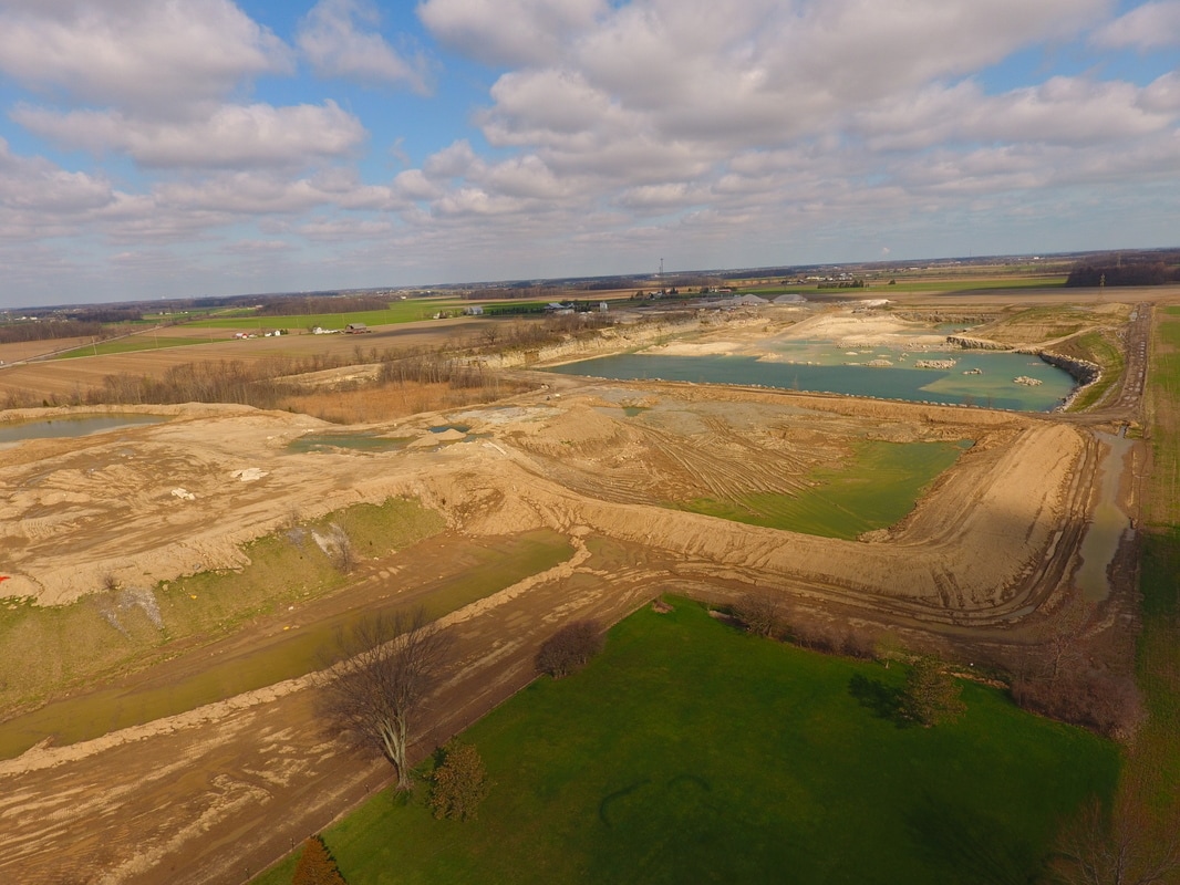
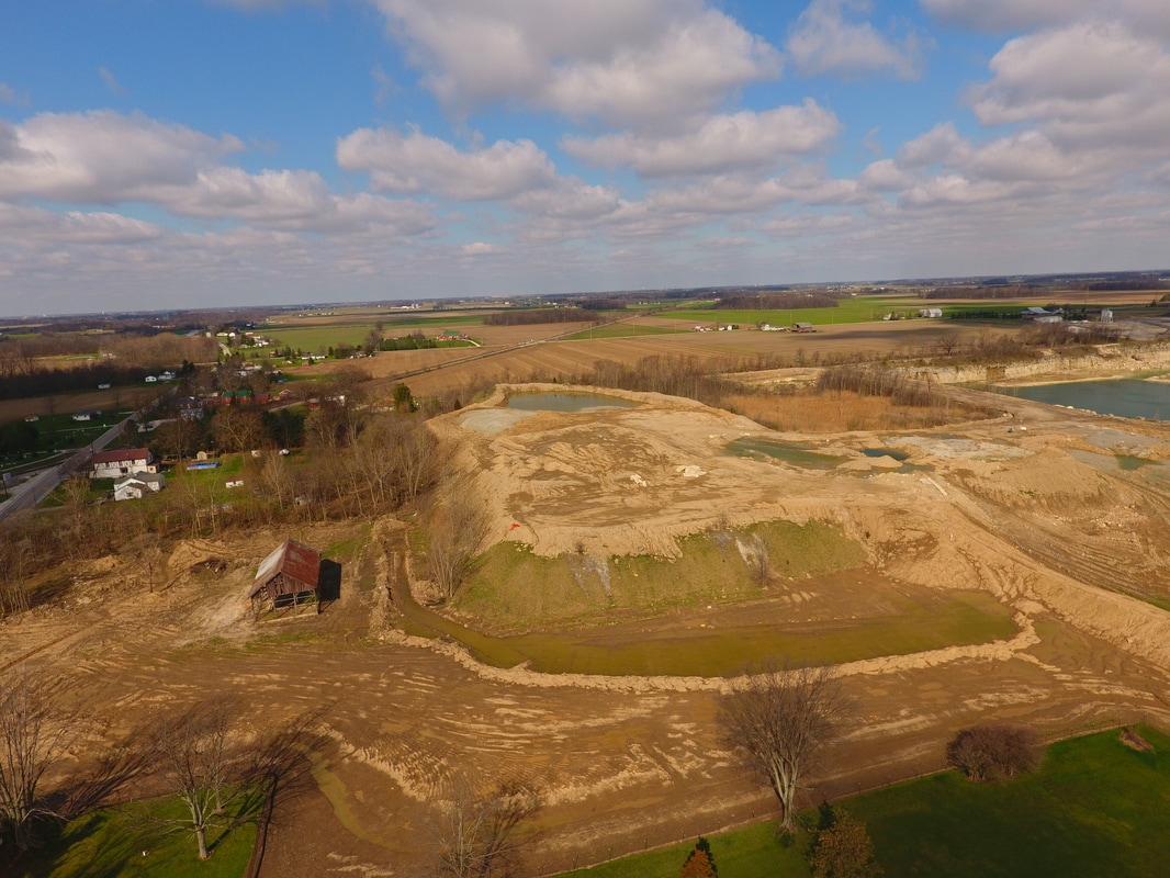
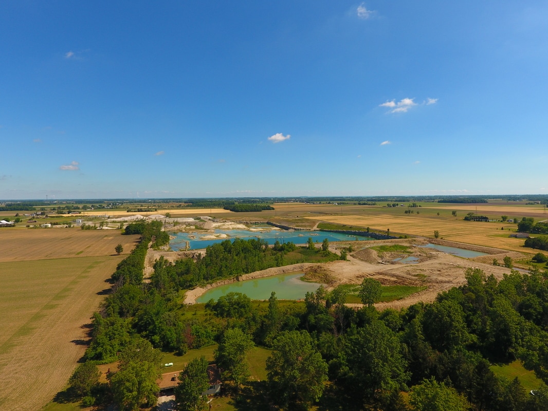
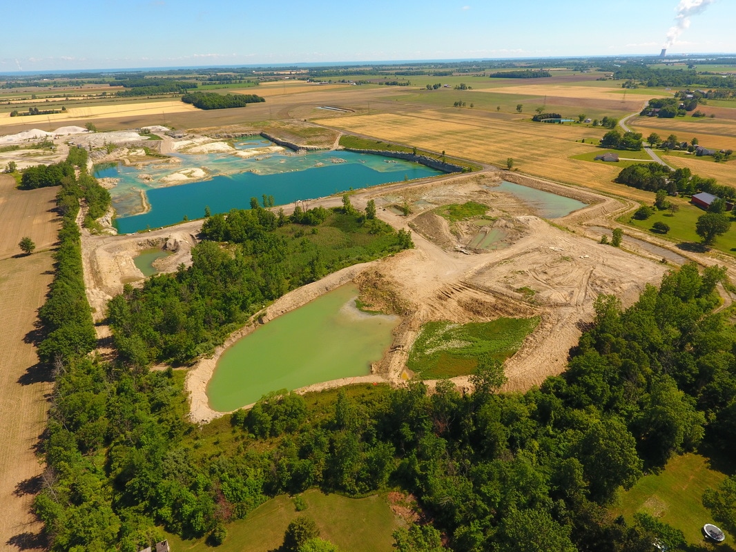
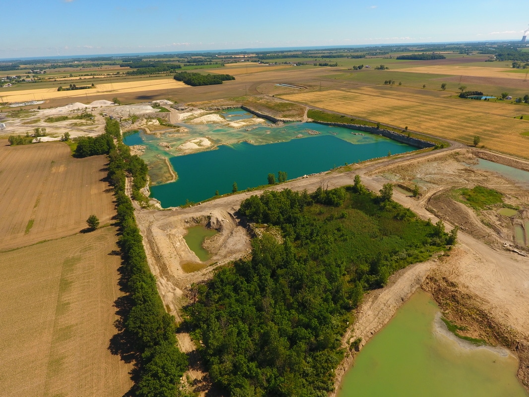
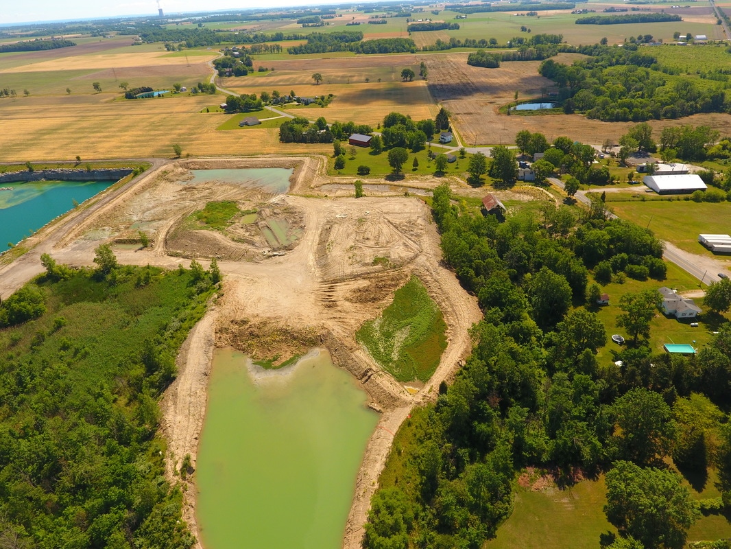
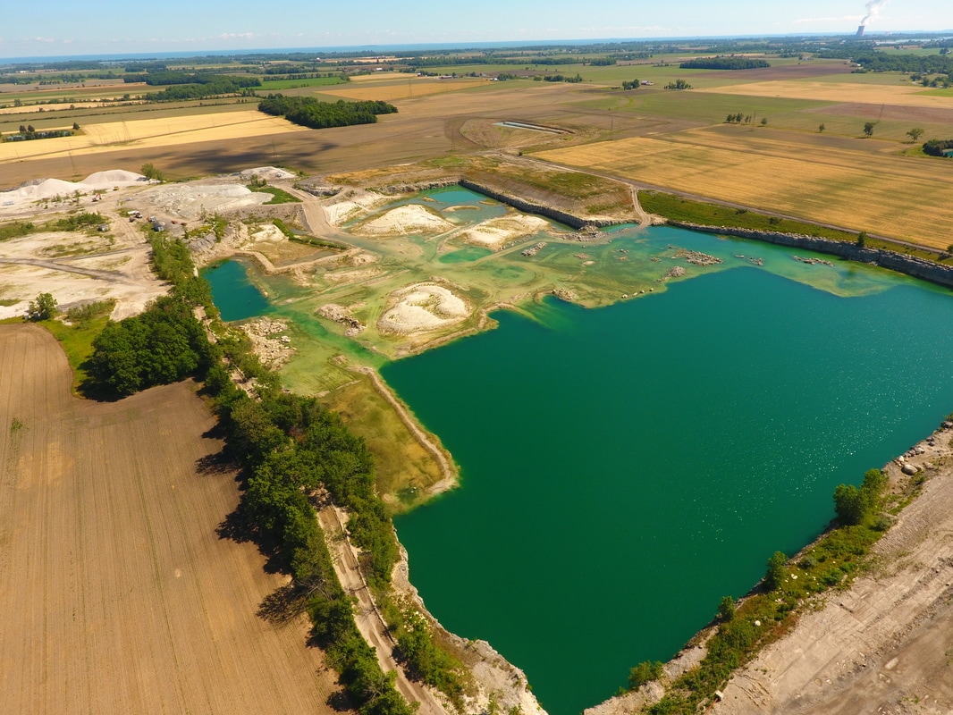
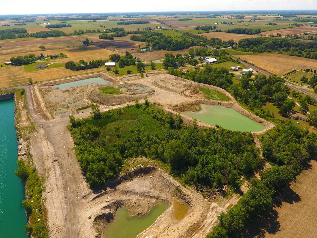
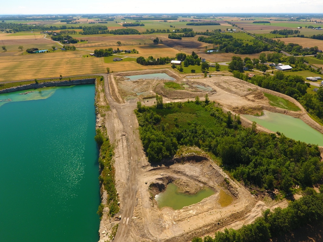
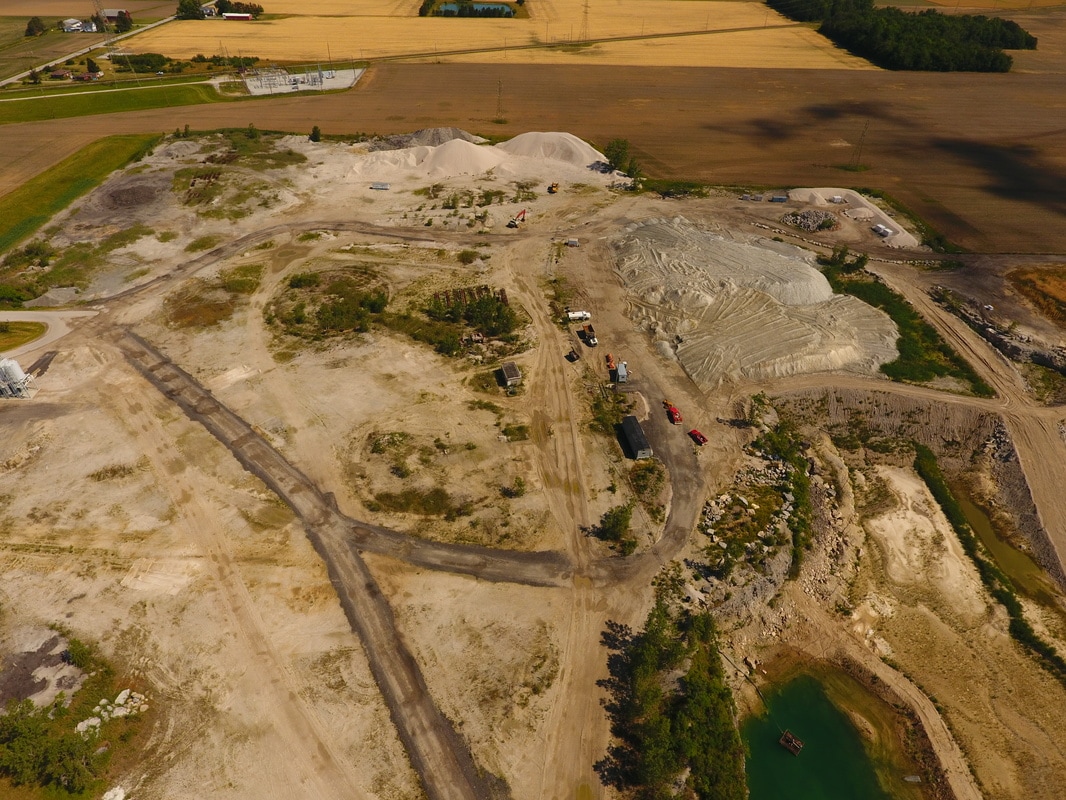
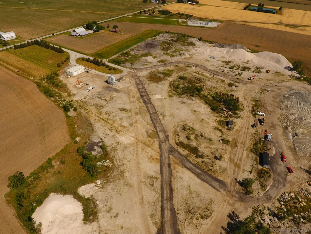
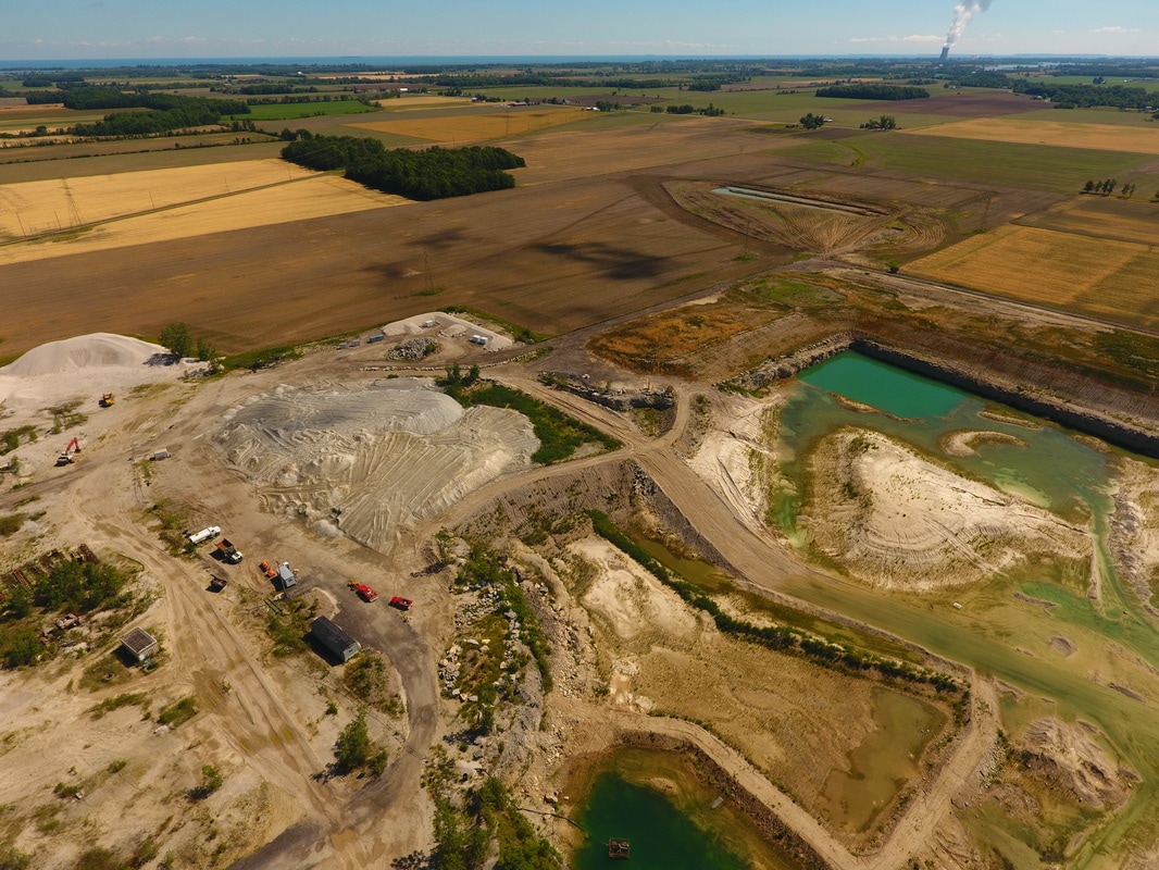
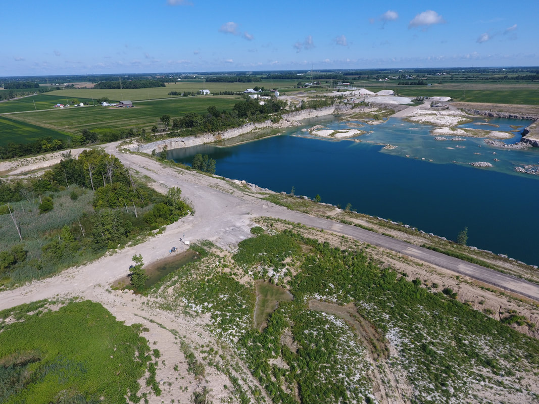
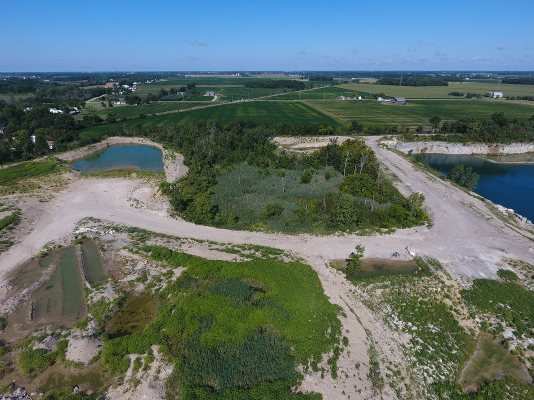
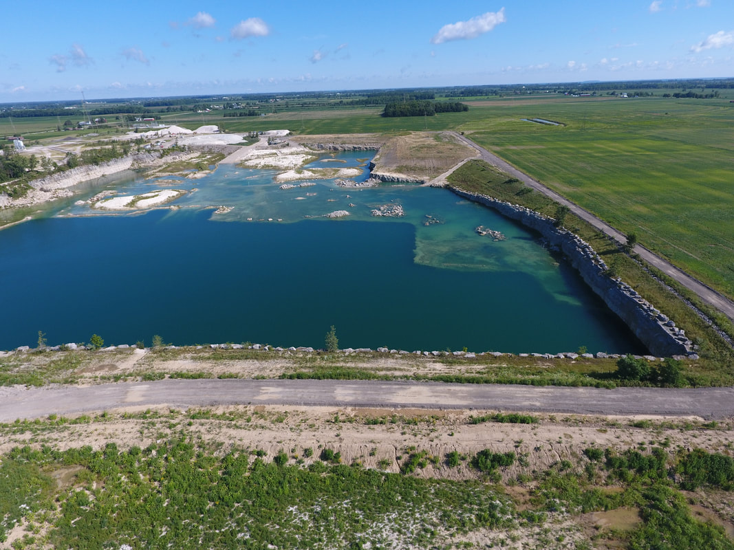
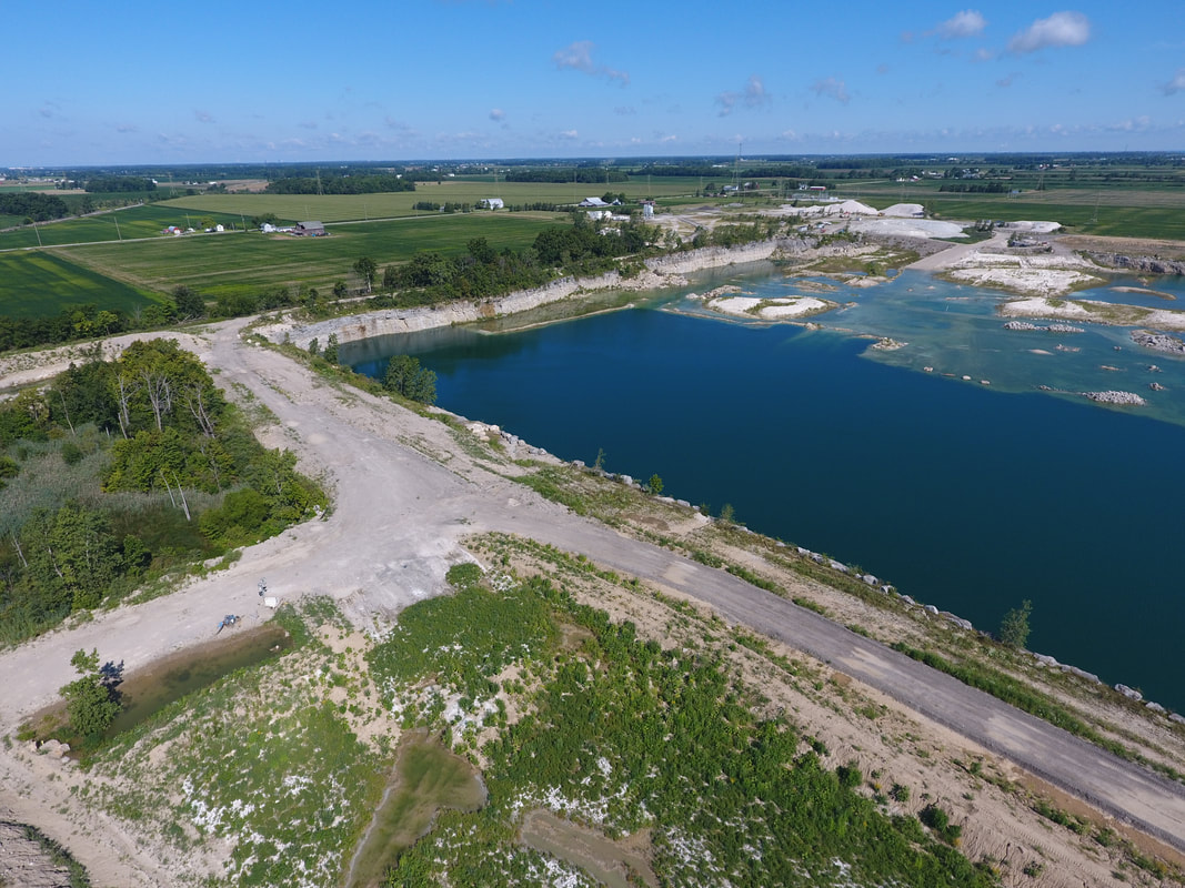
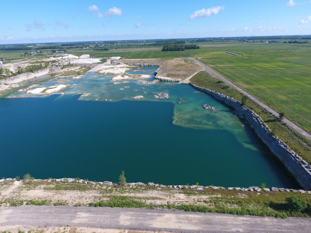
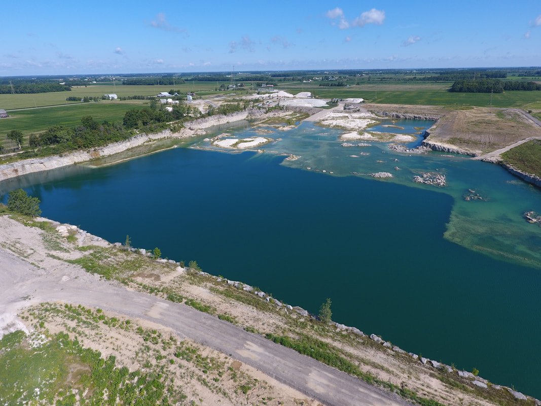
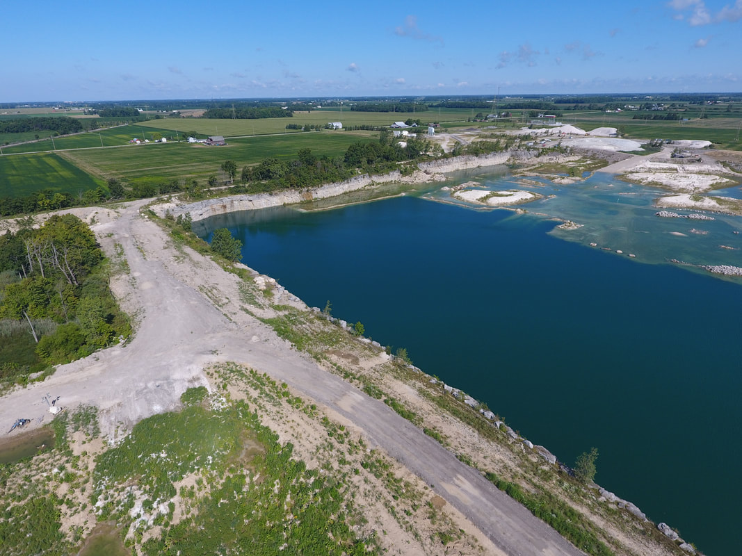
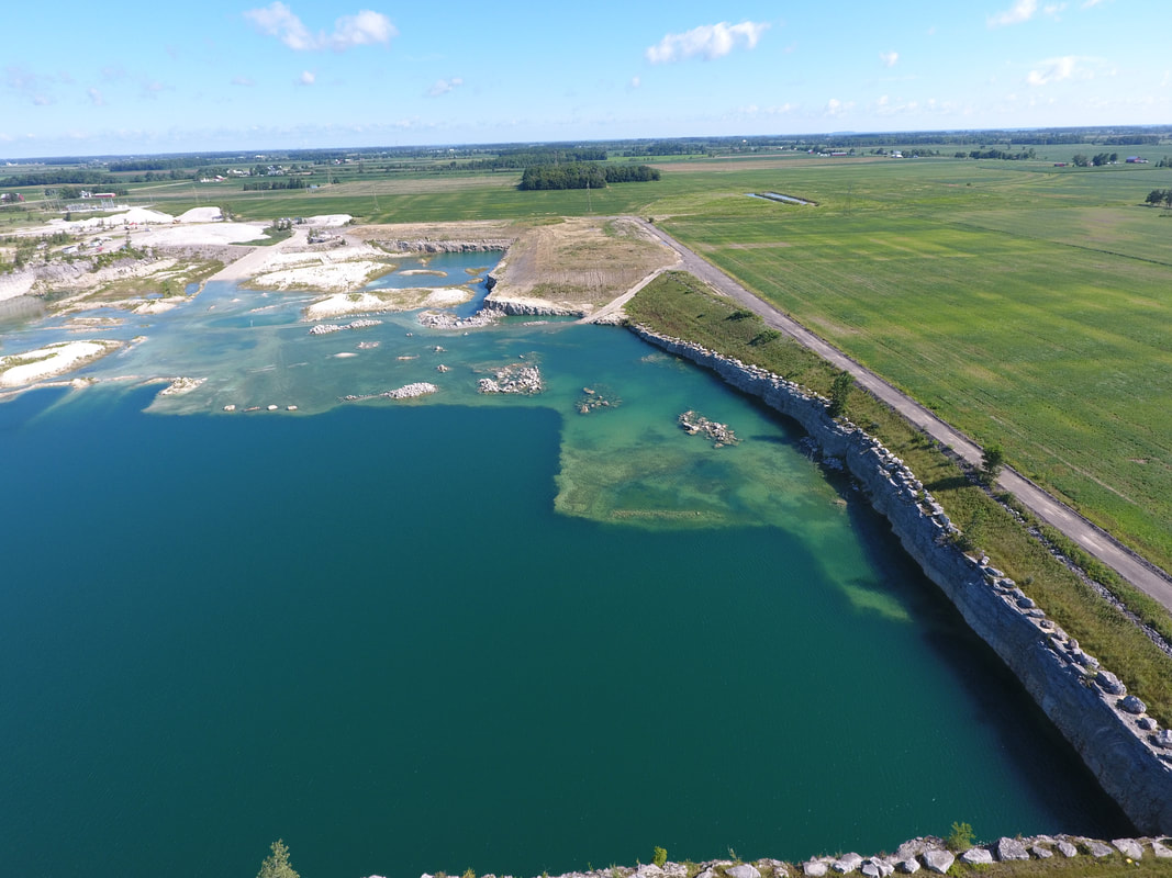
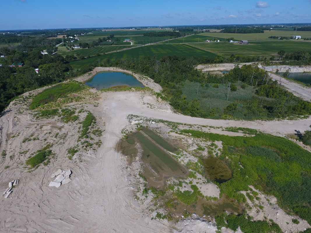
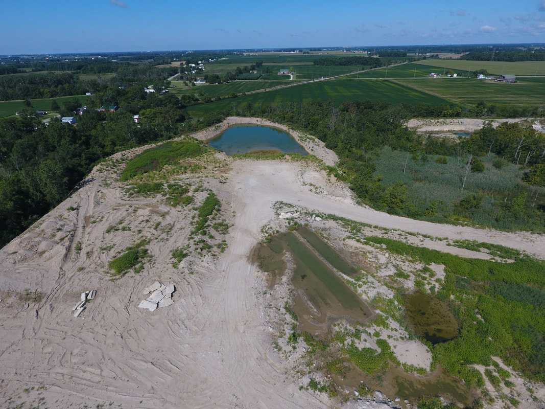
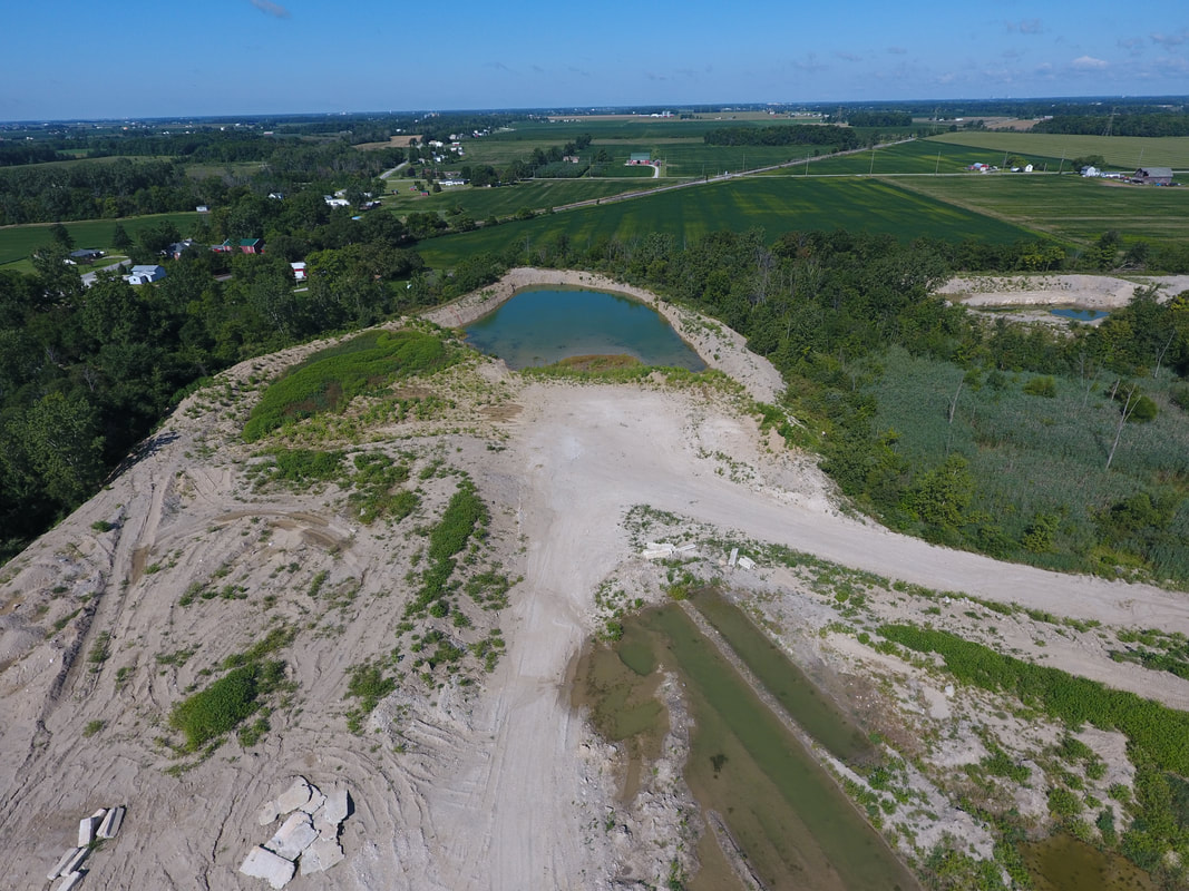
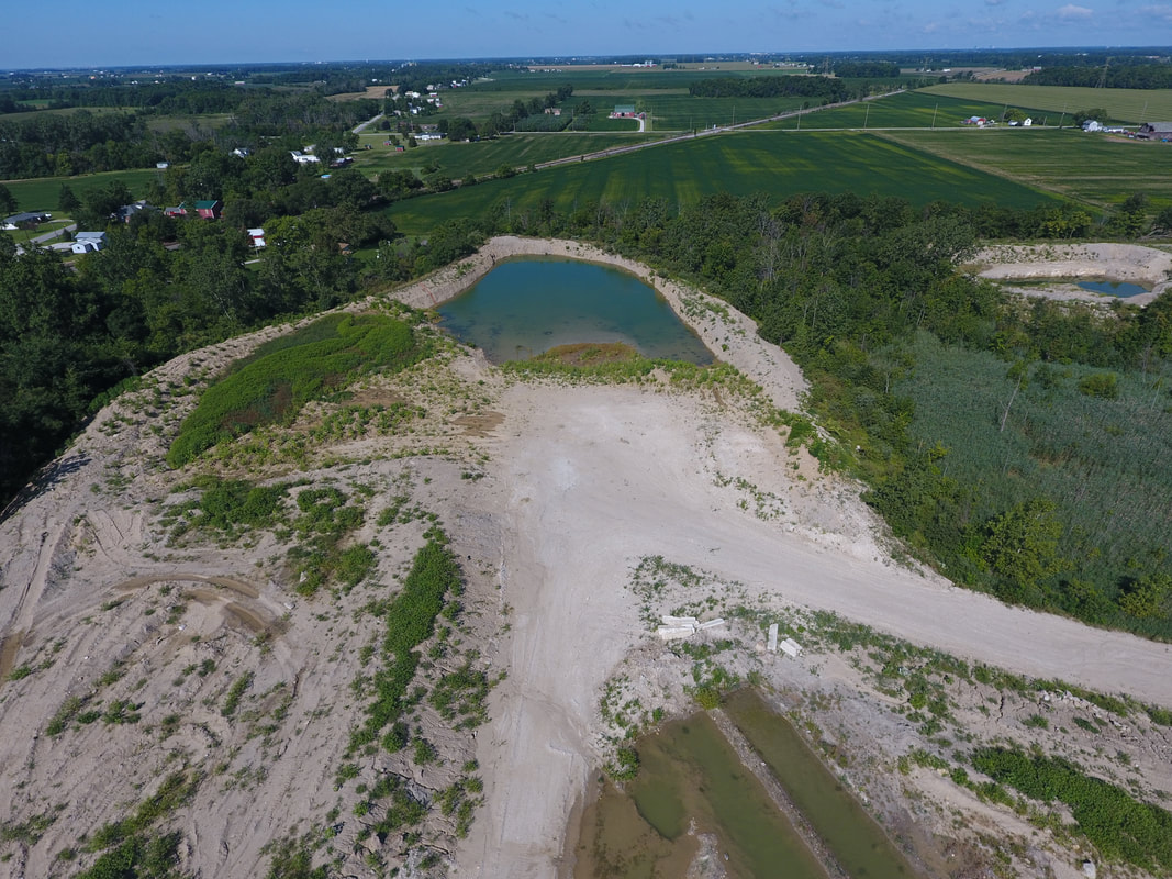
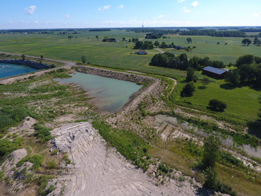
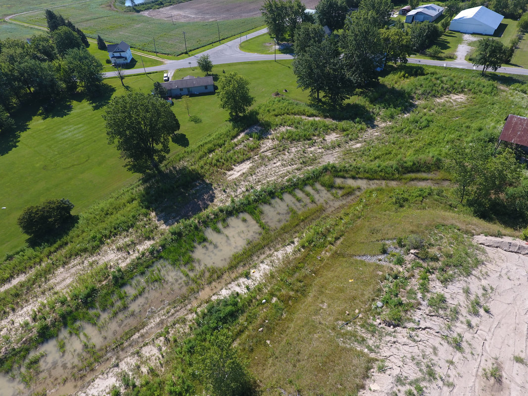
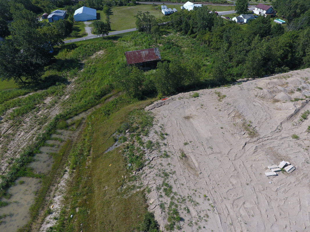
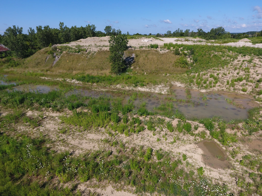
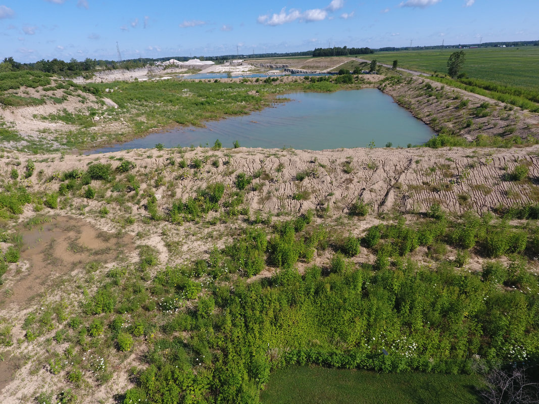
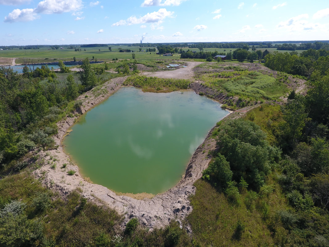
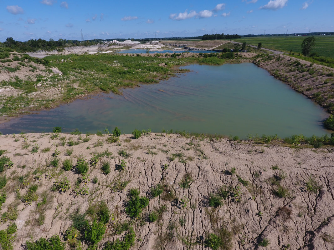
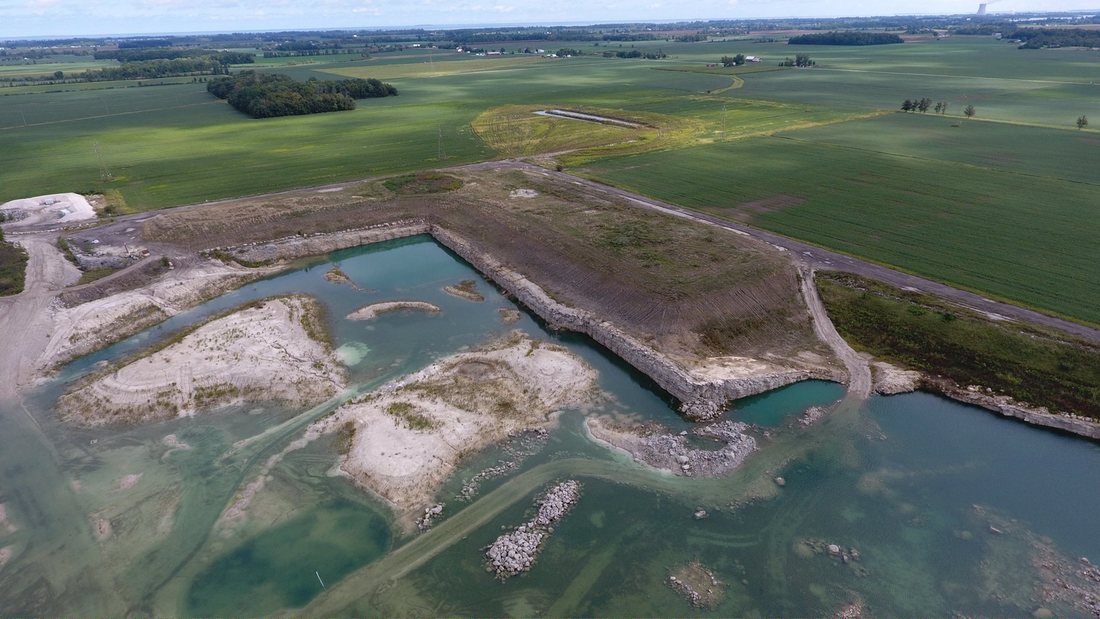
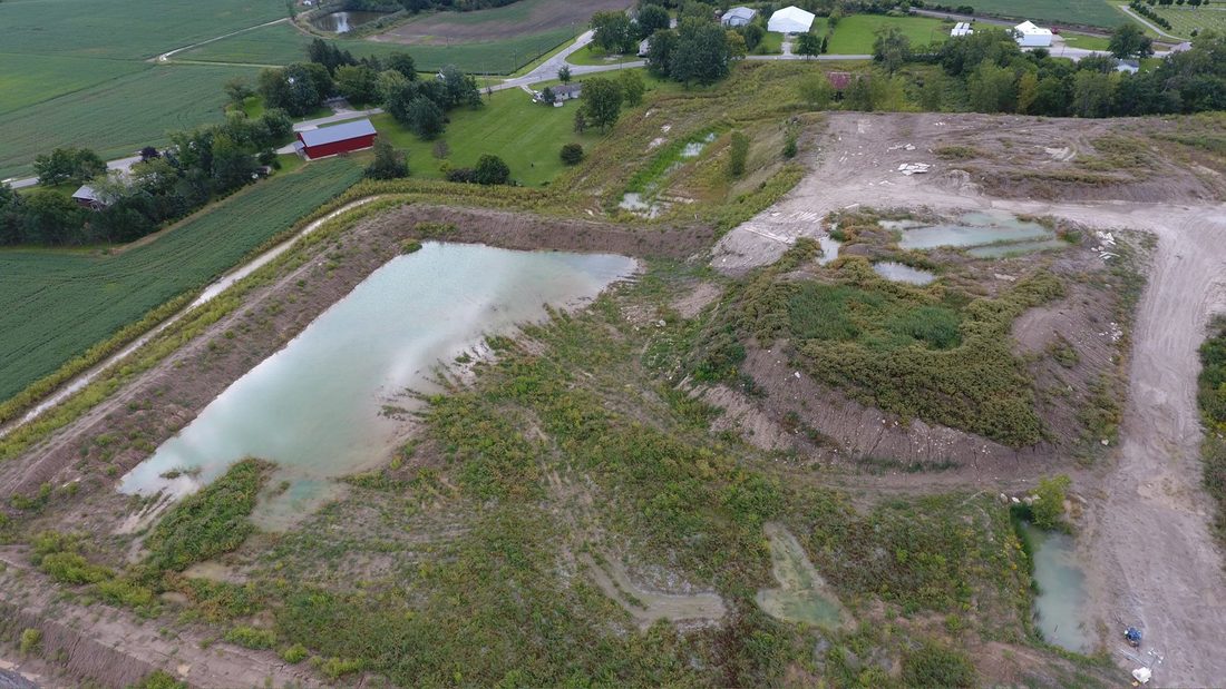
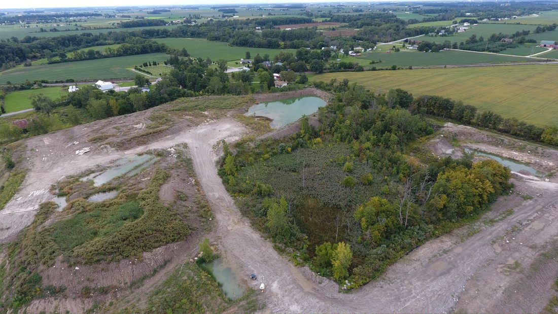
Aerial Photography by OHAIR LLC.
|
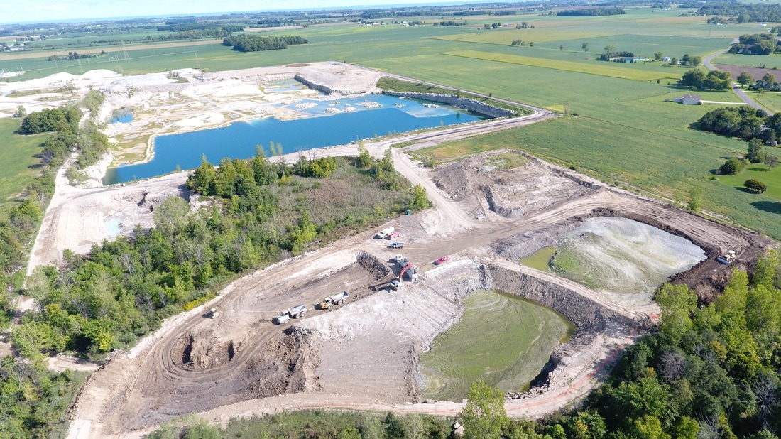


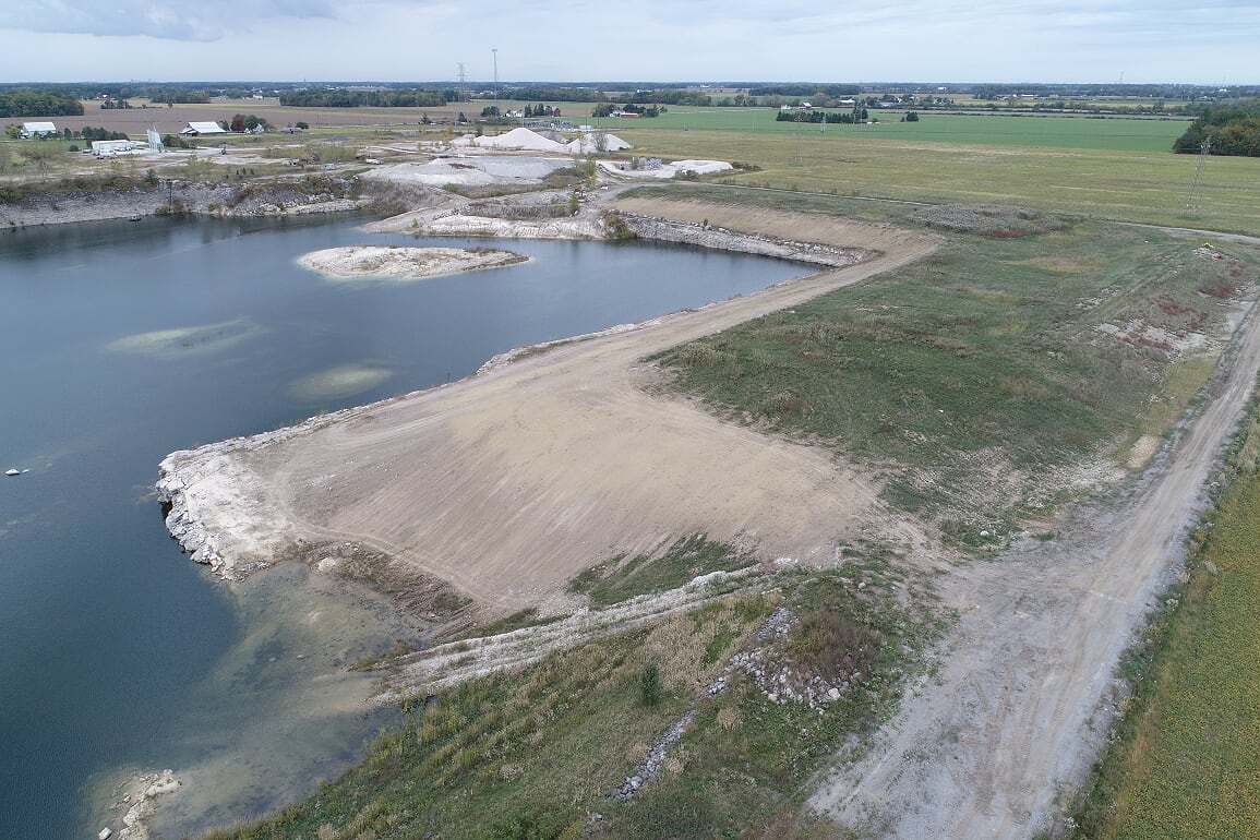
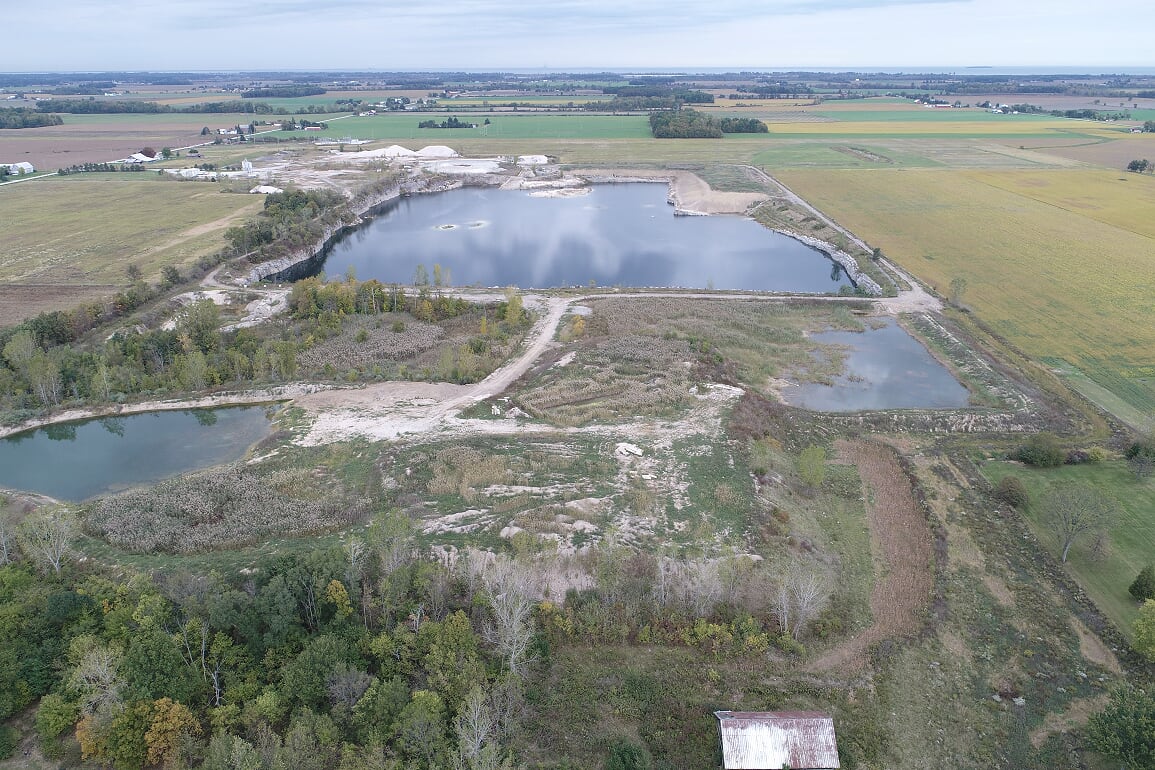
October 2016


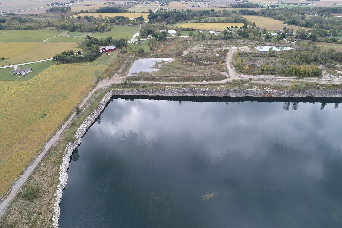
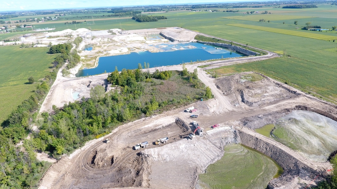
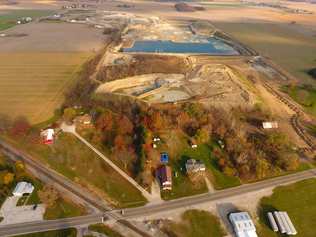
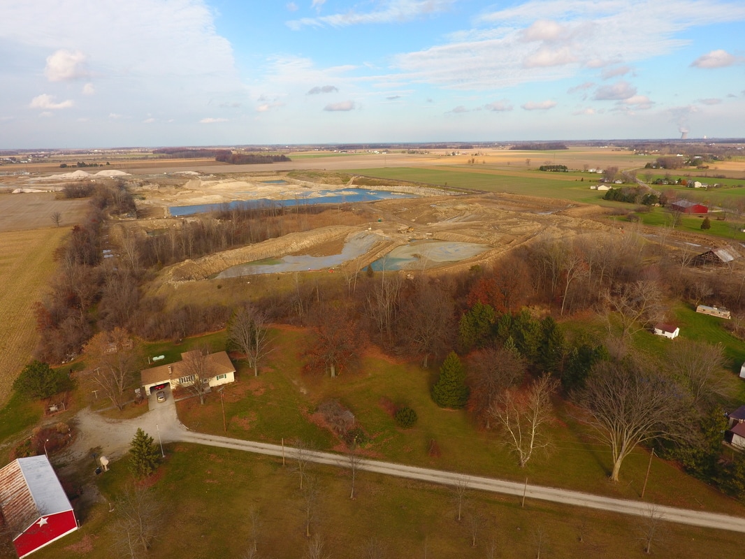
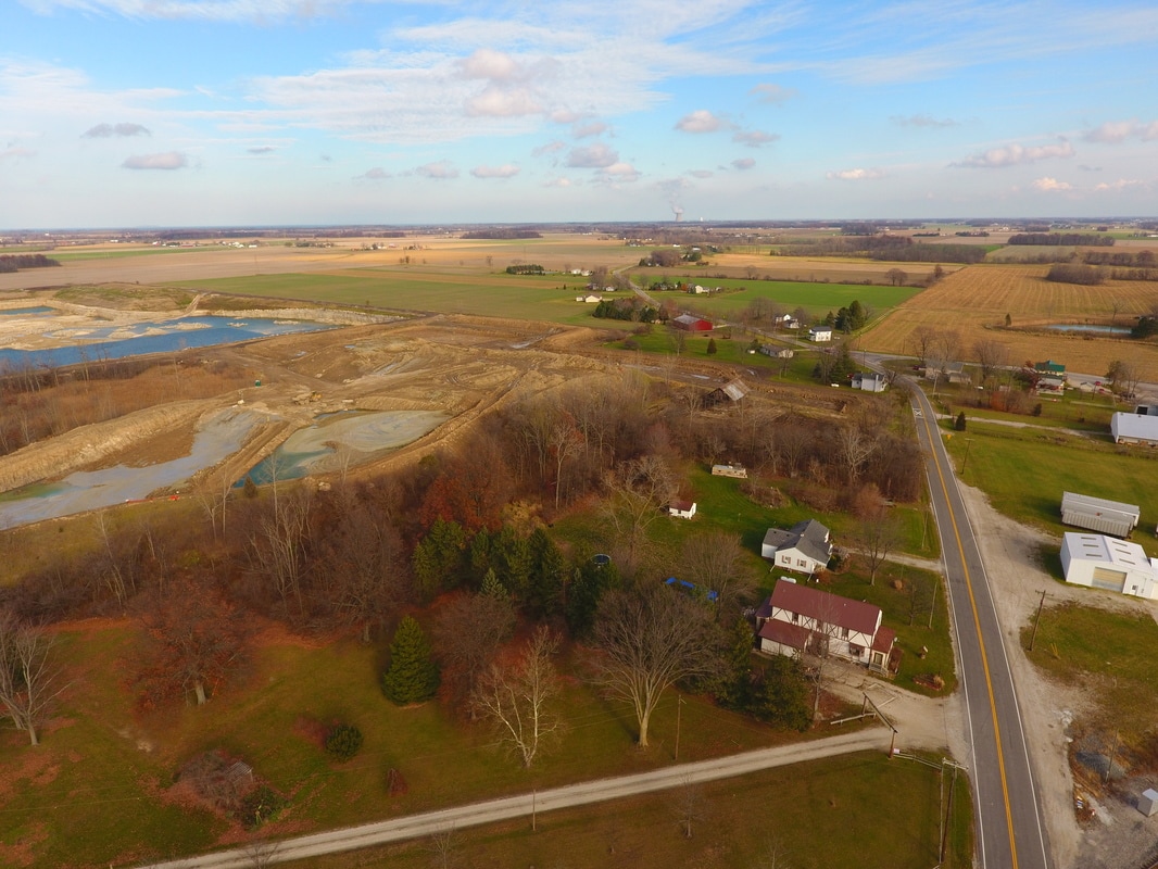
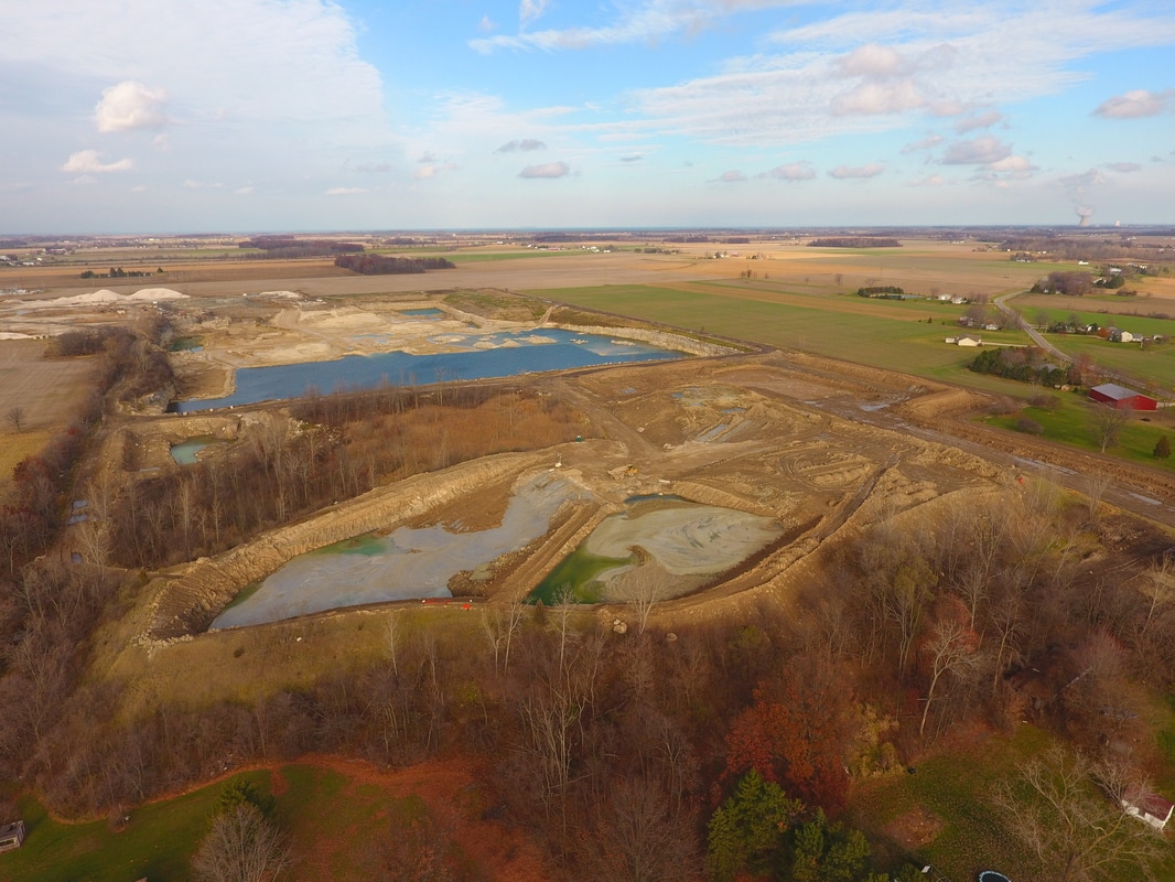
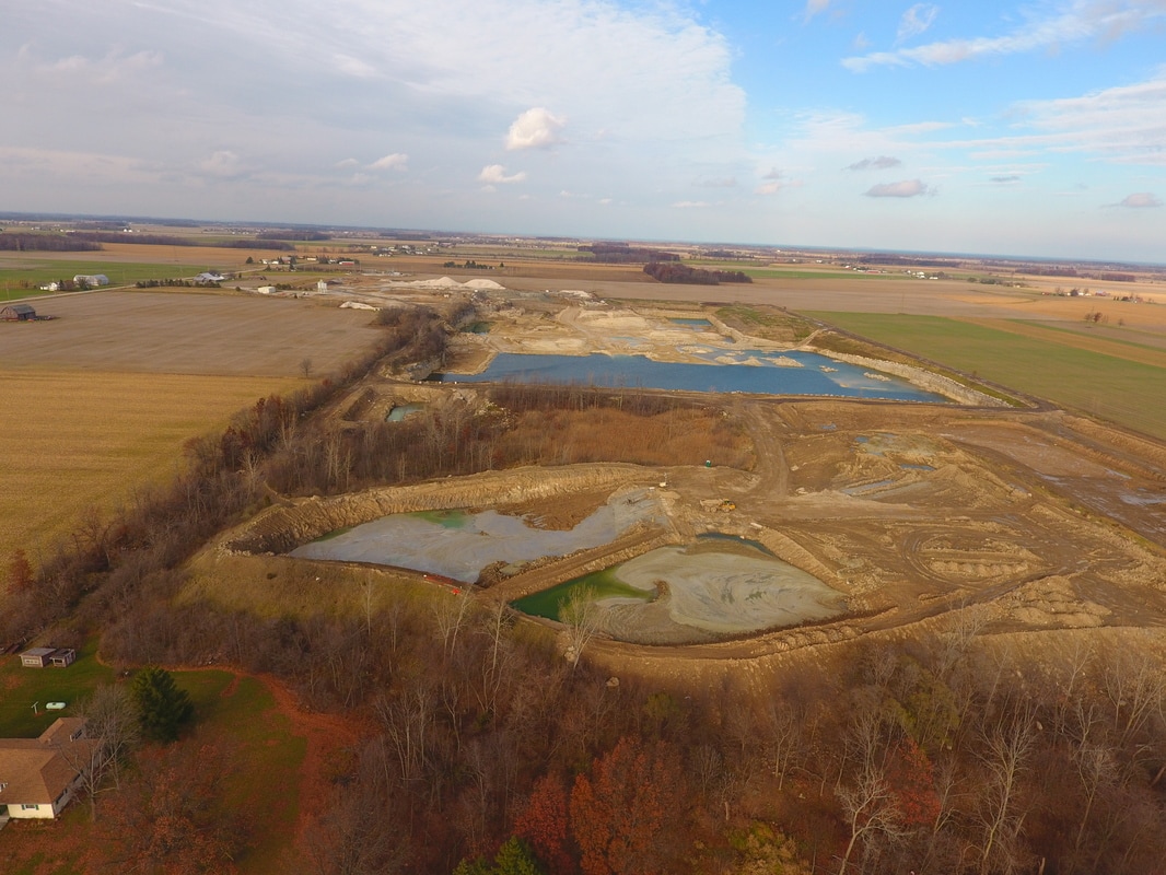
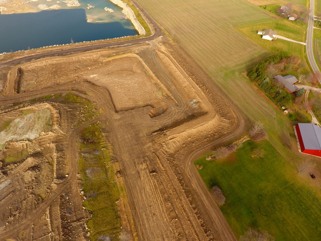
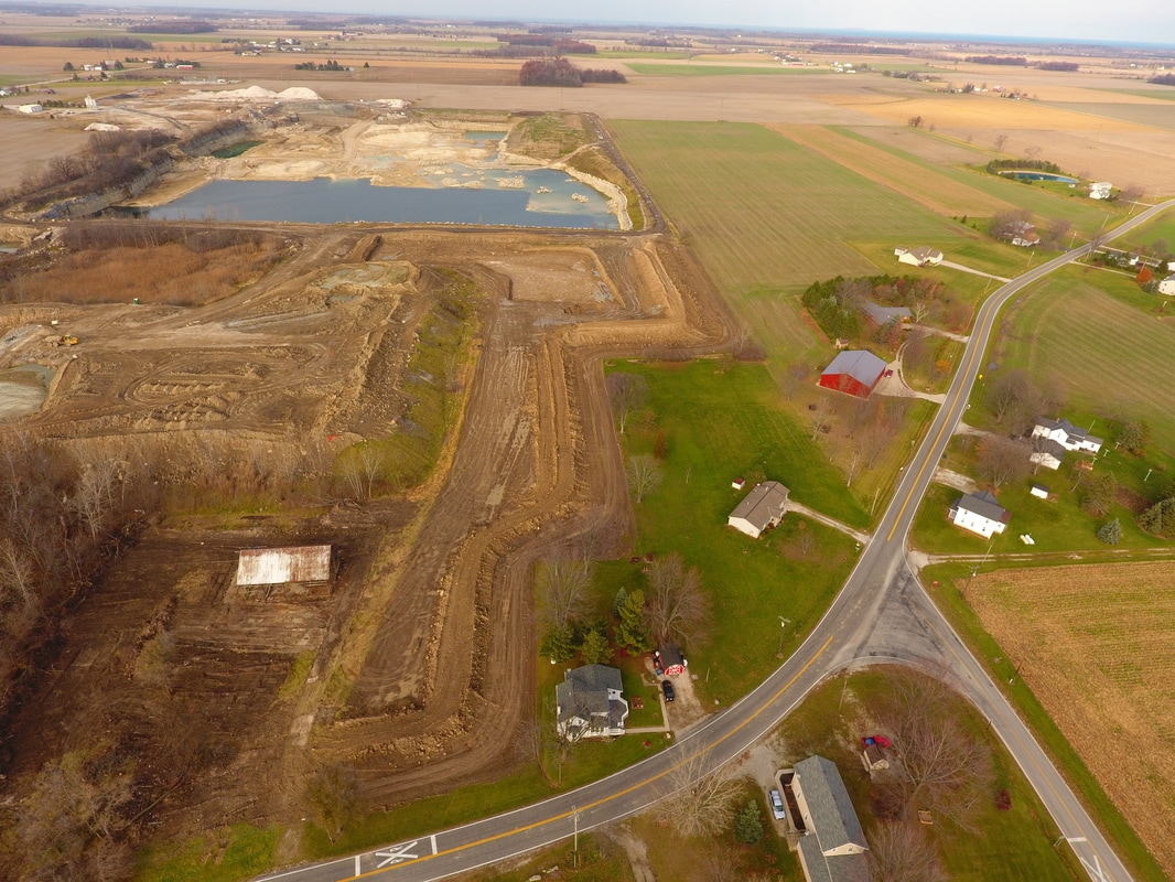
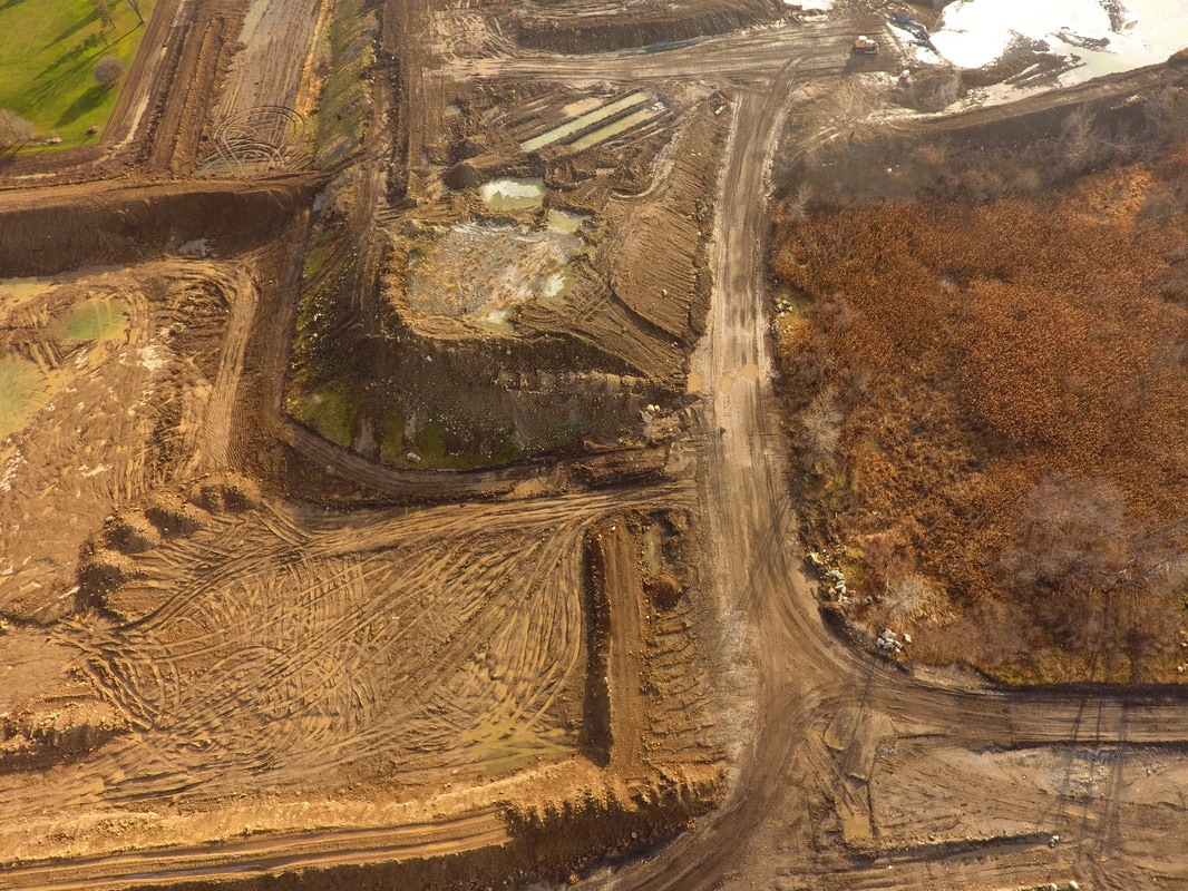
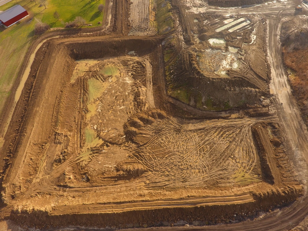
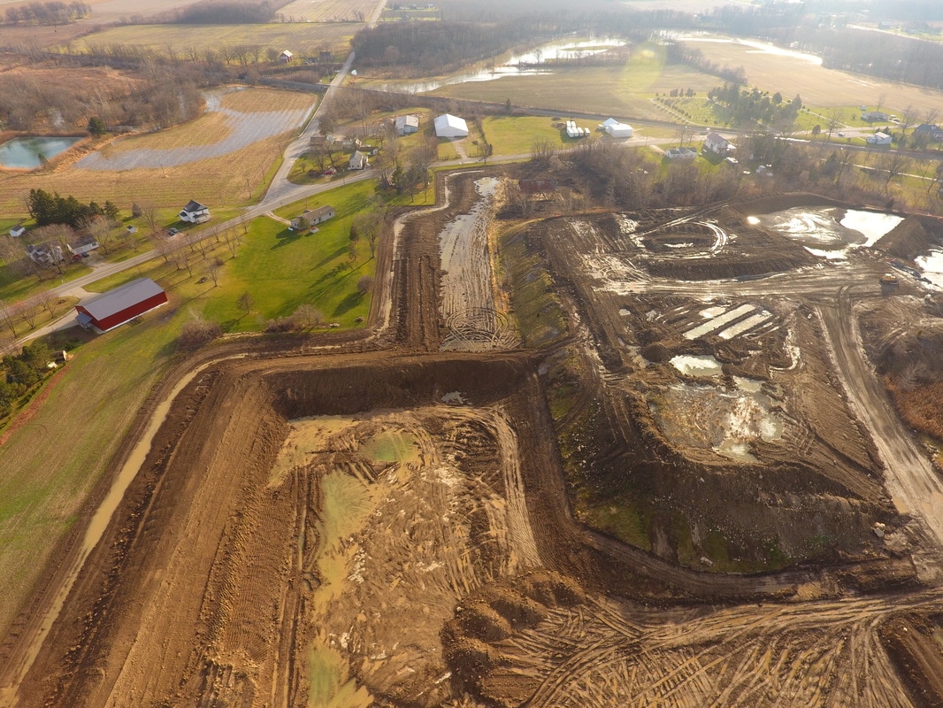
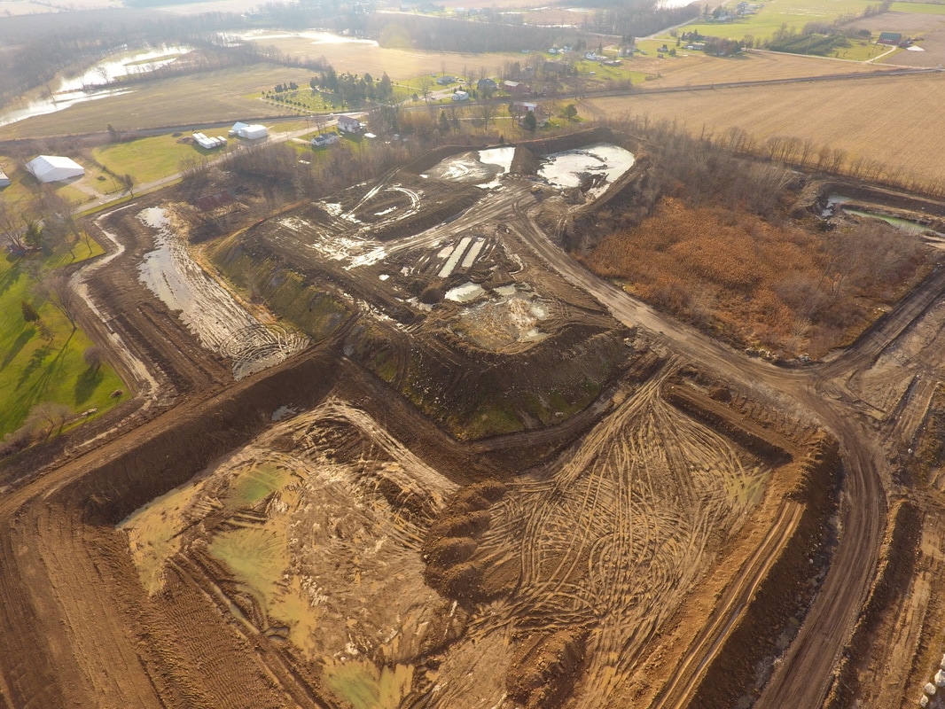
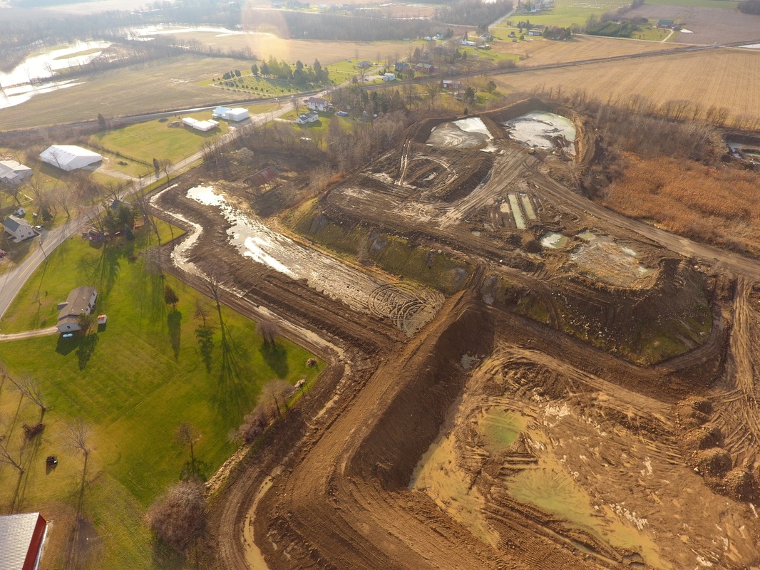
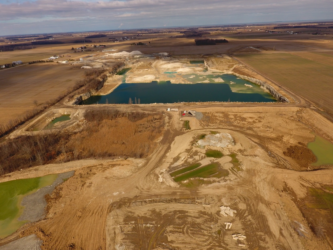
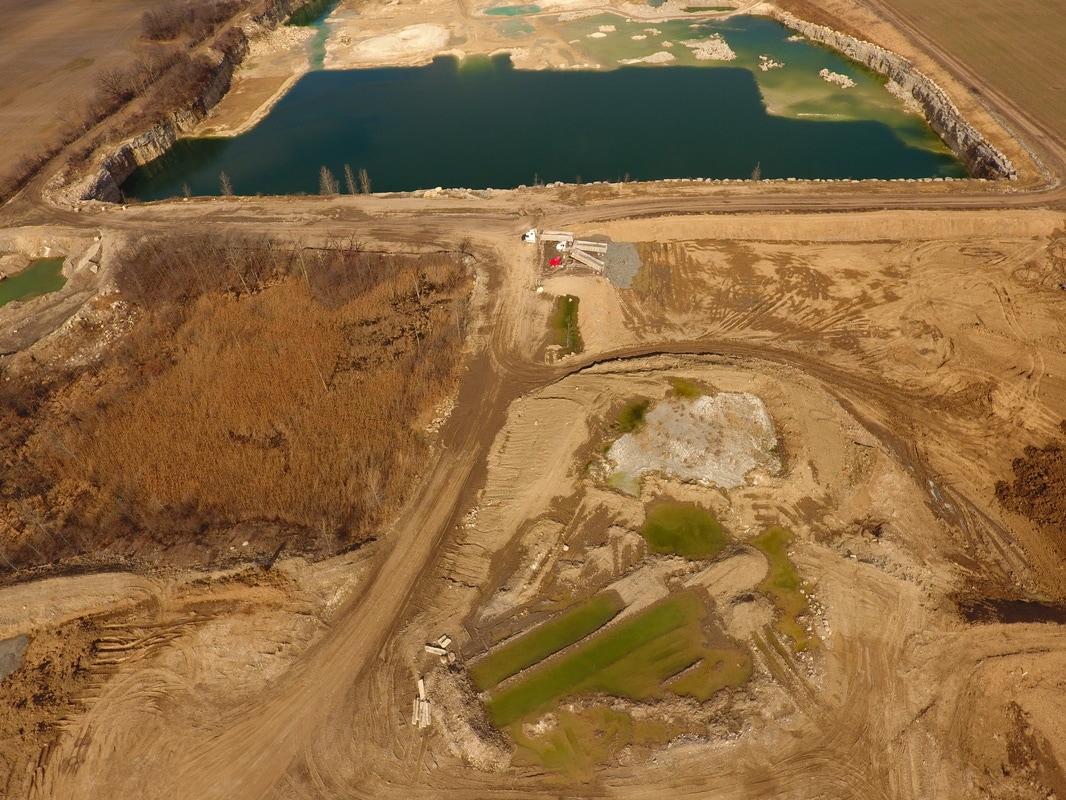
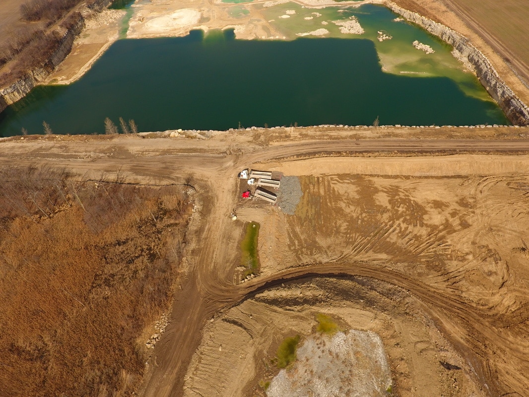
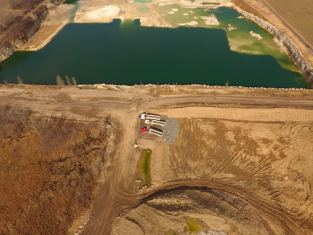
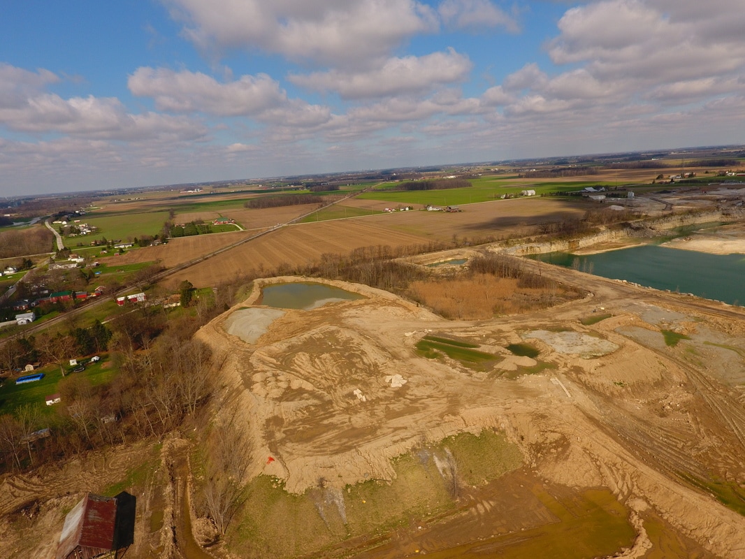
November 2016
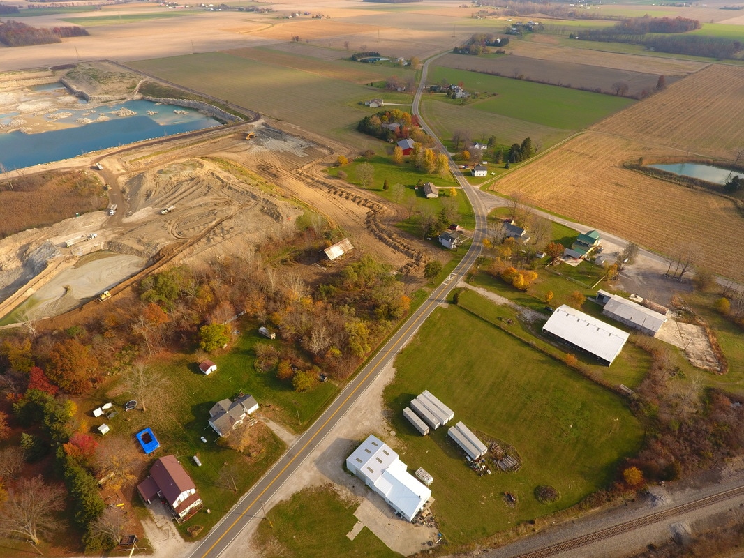


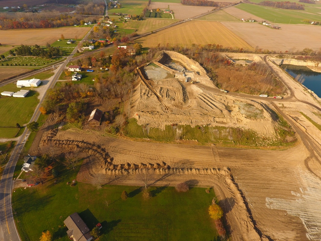


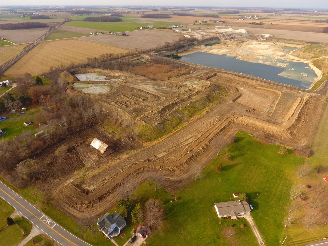
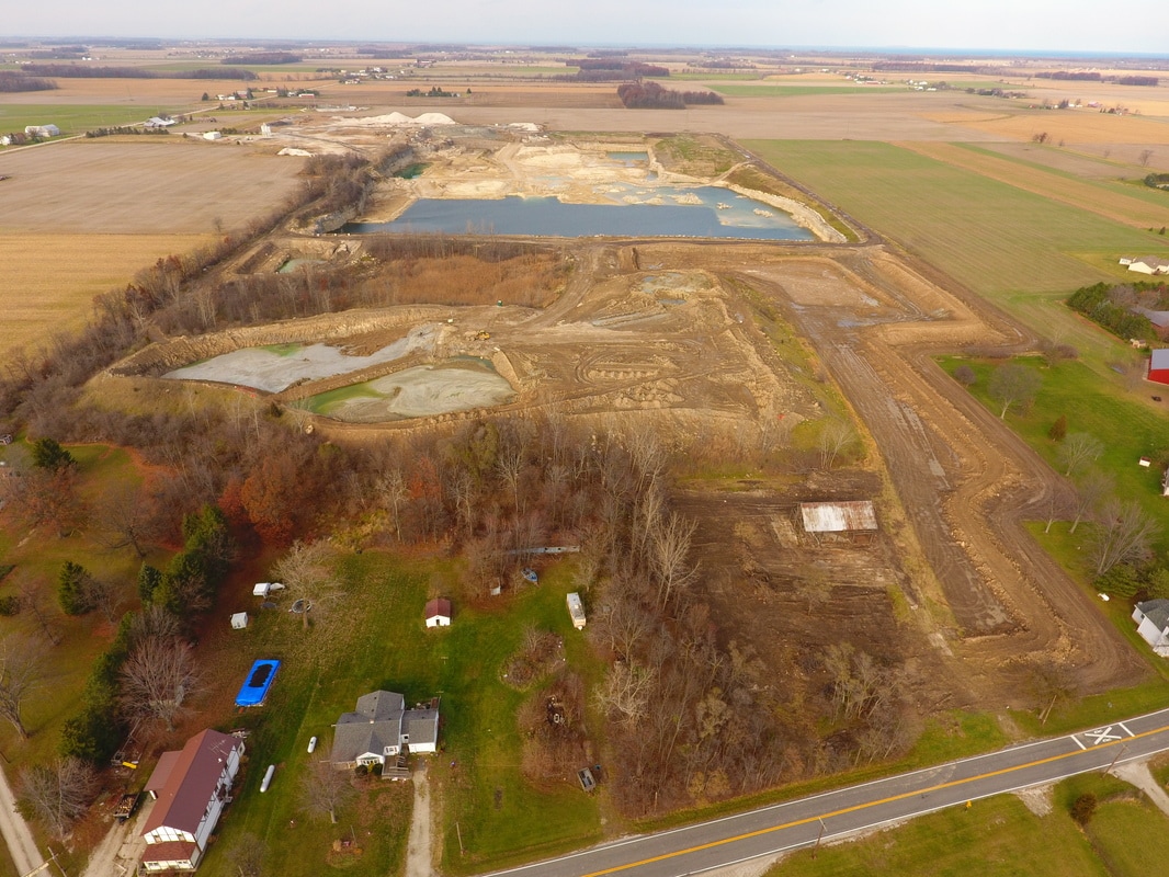
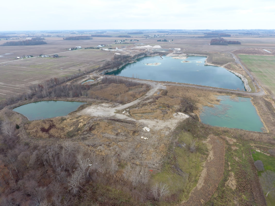
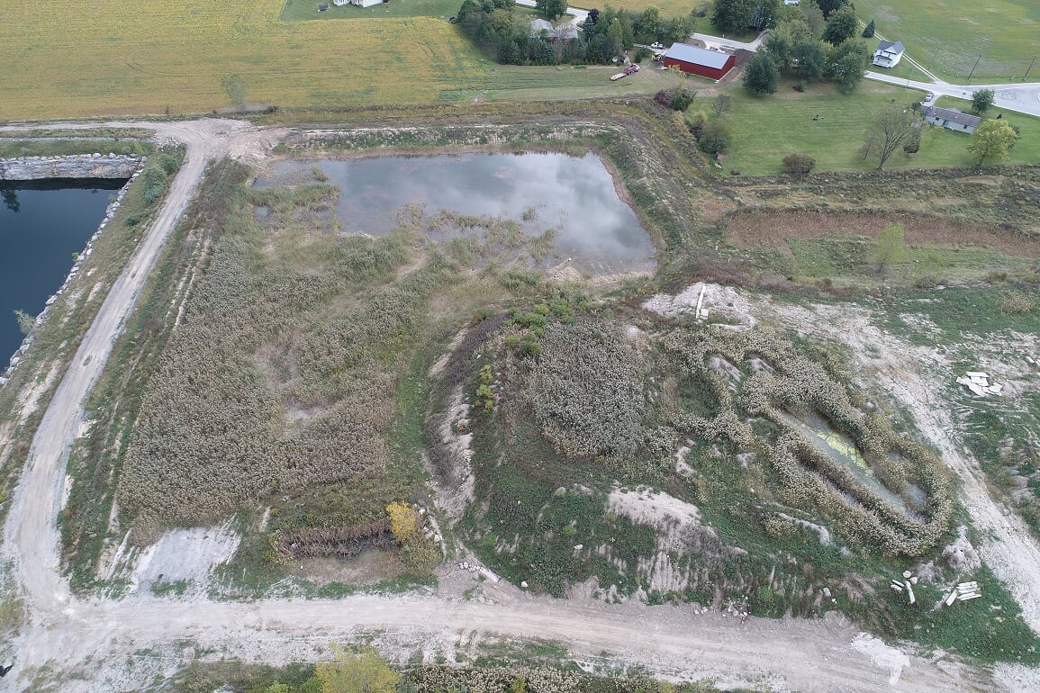
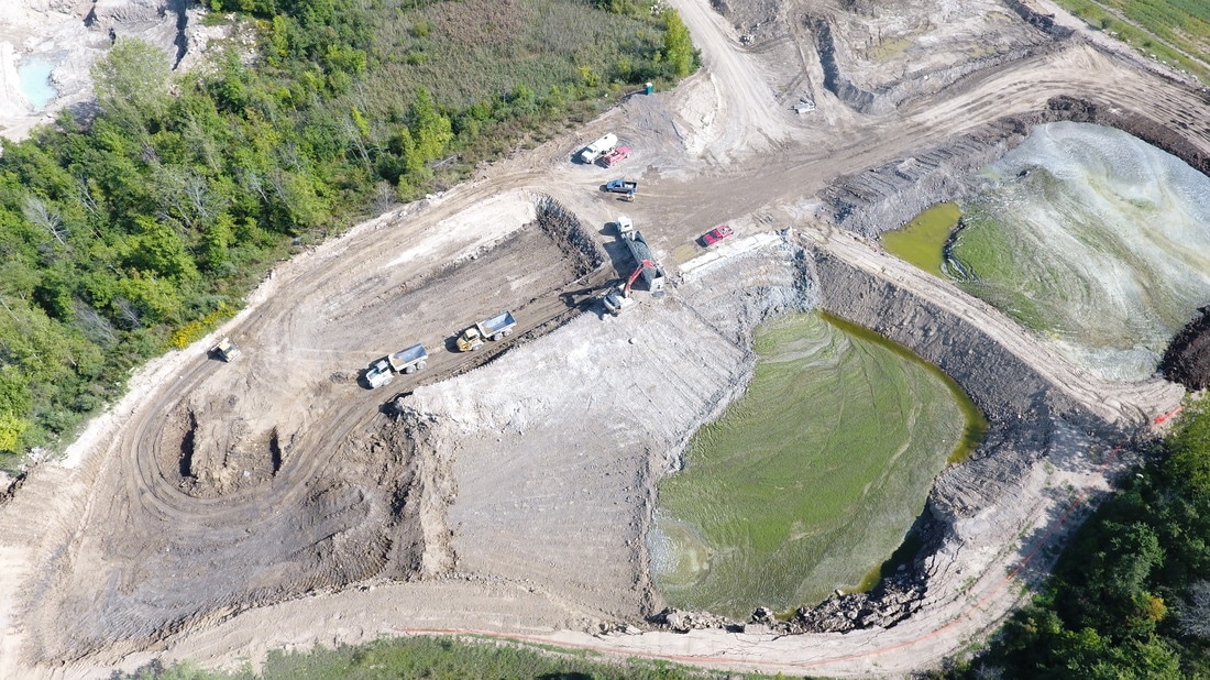
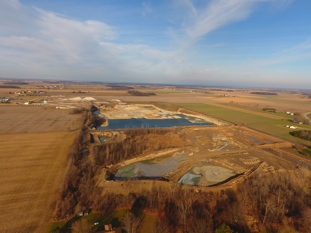
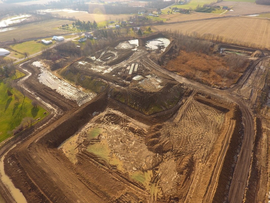
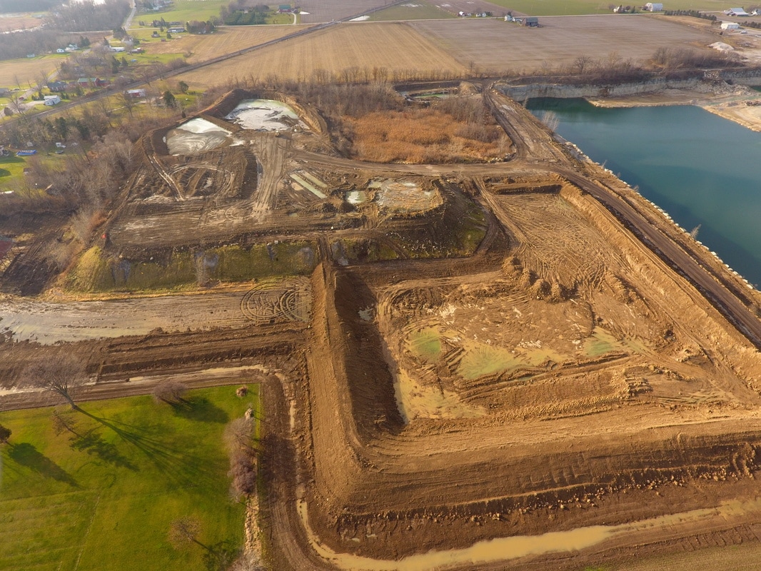
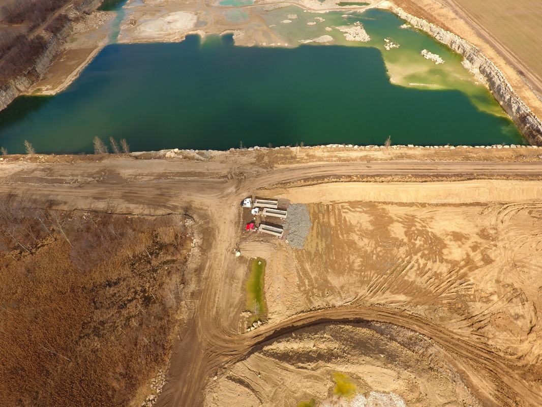
December 2016
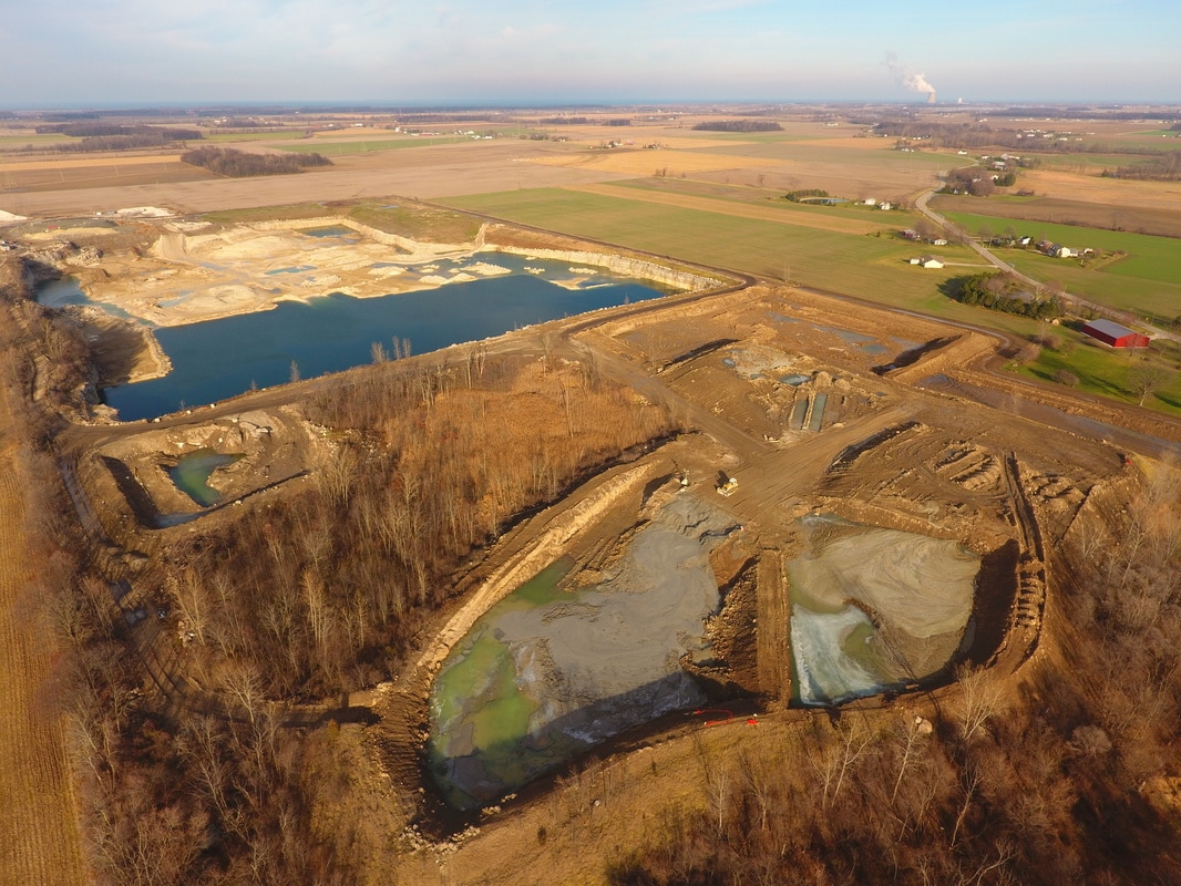


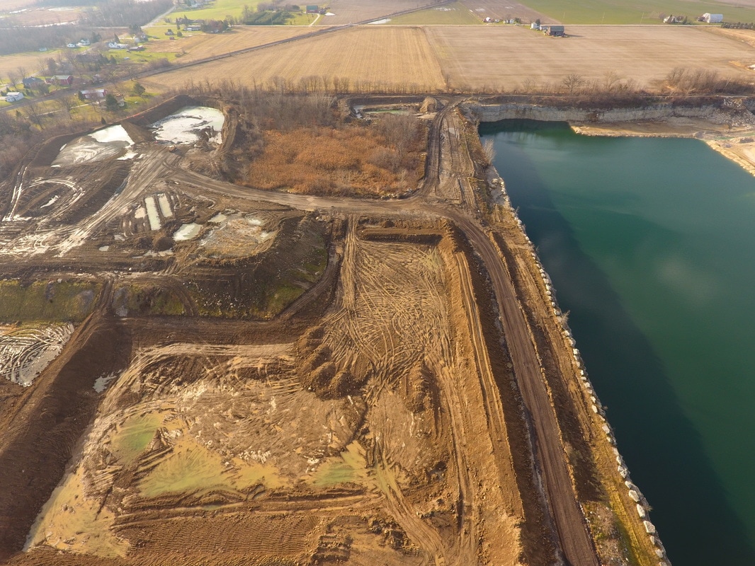
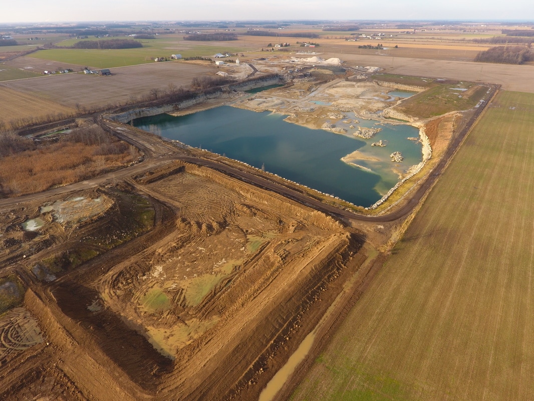

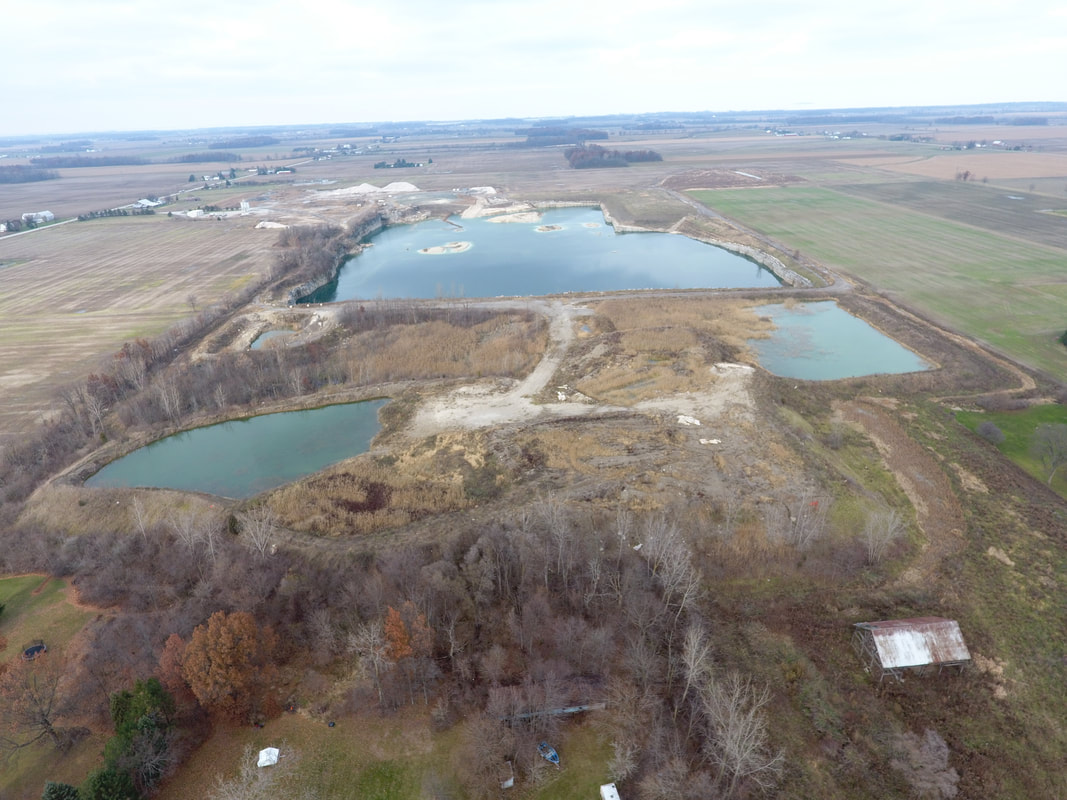
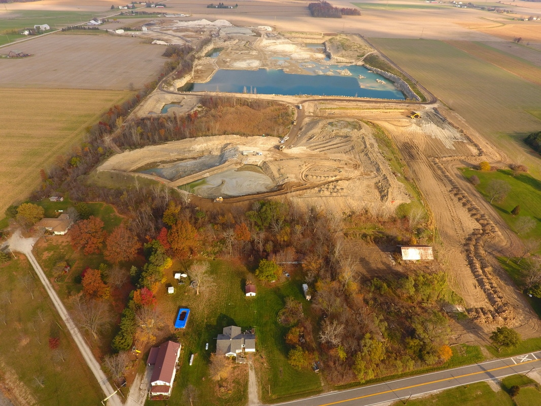
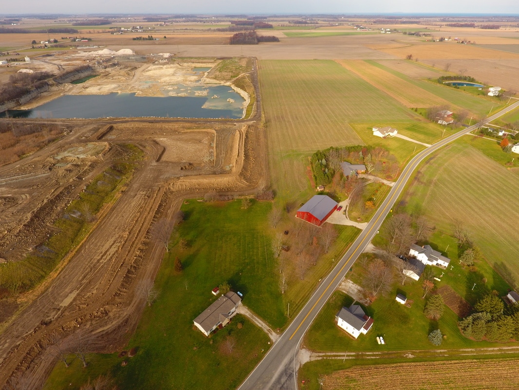
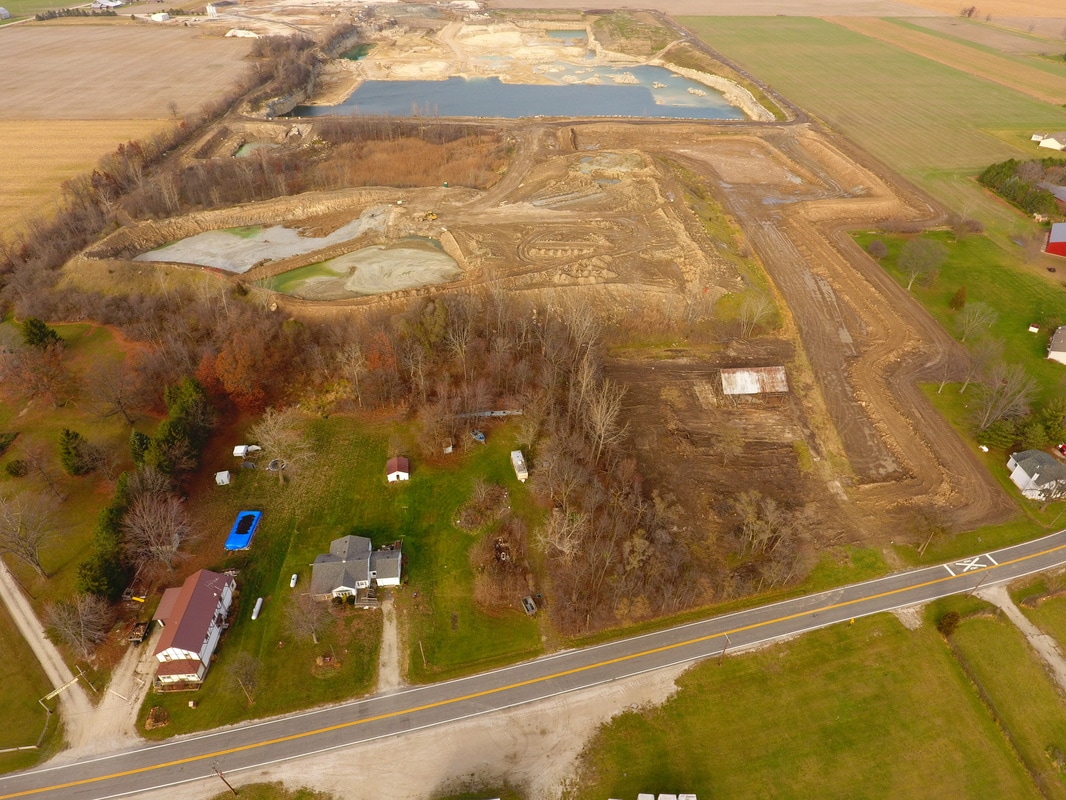
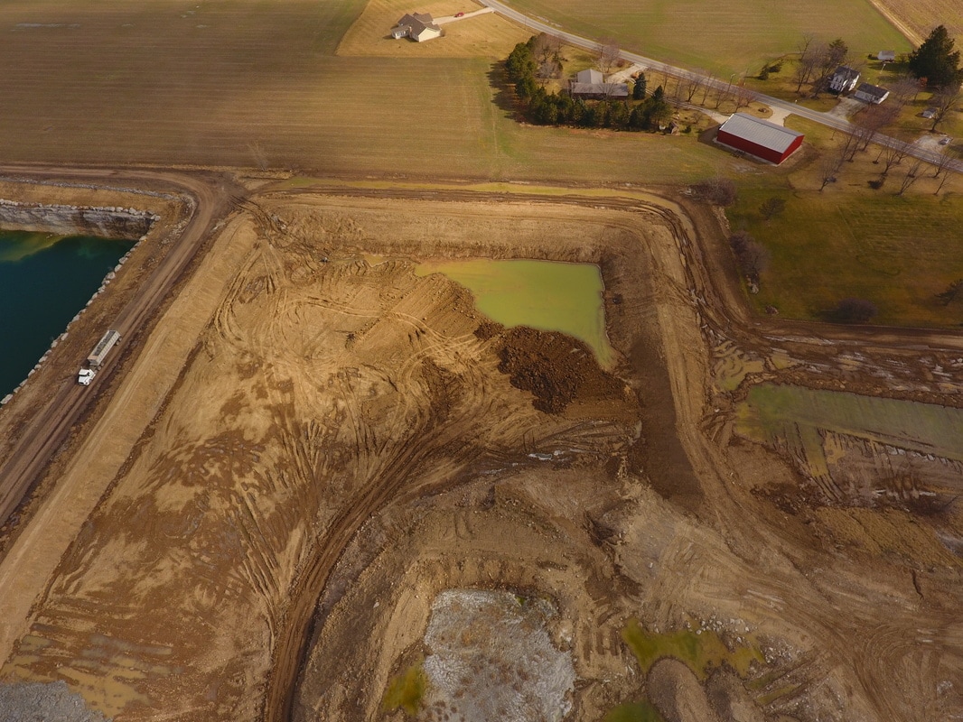
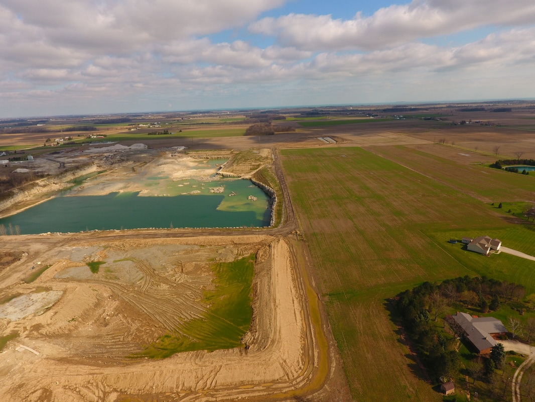
January 2017


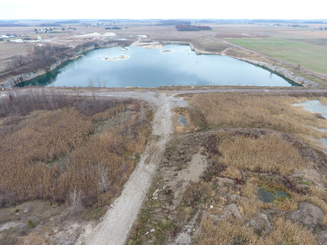
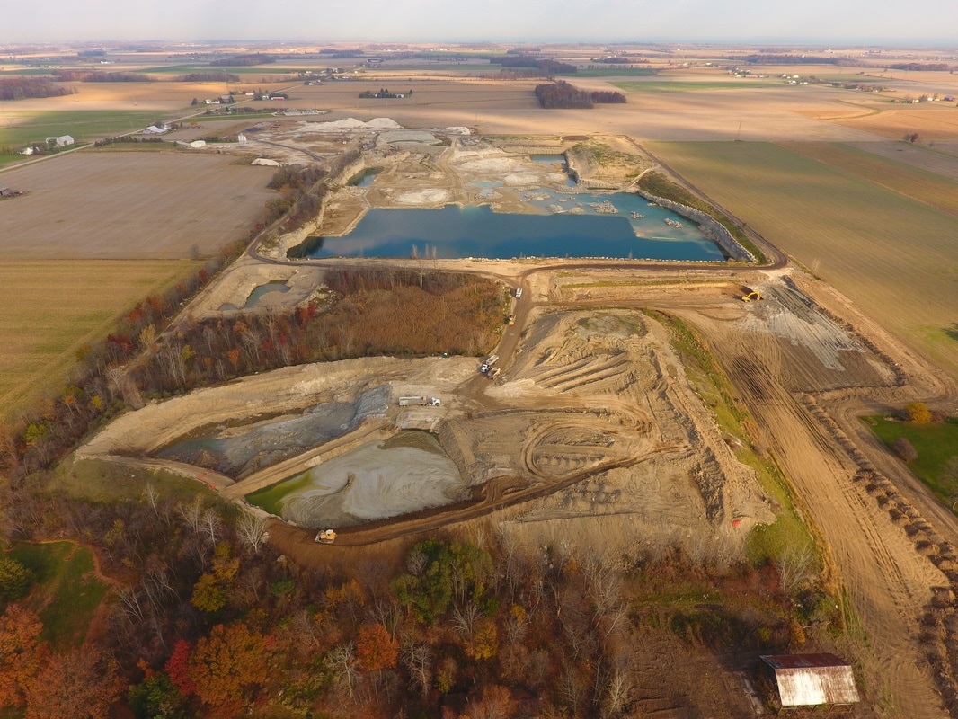
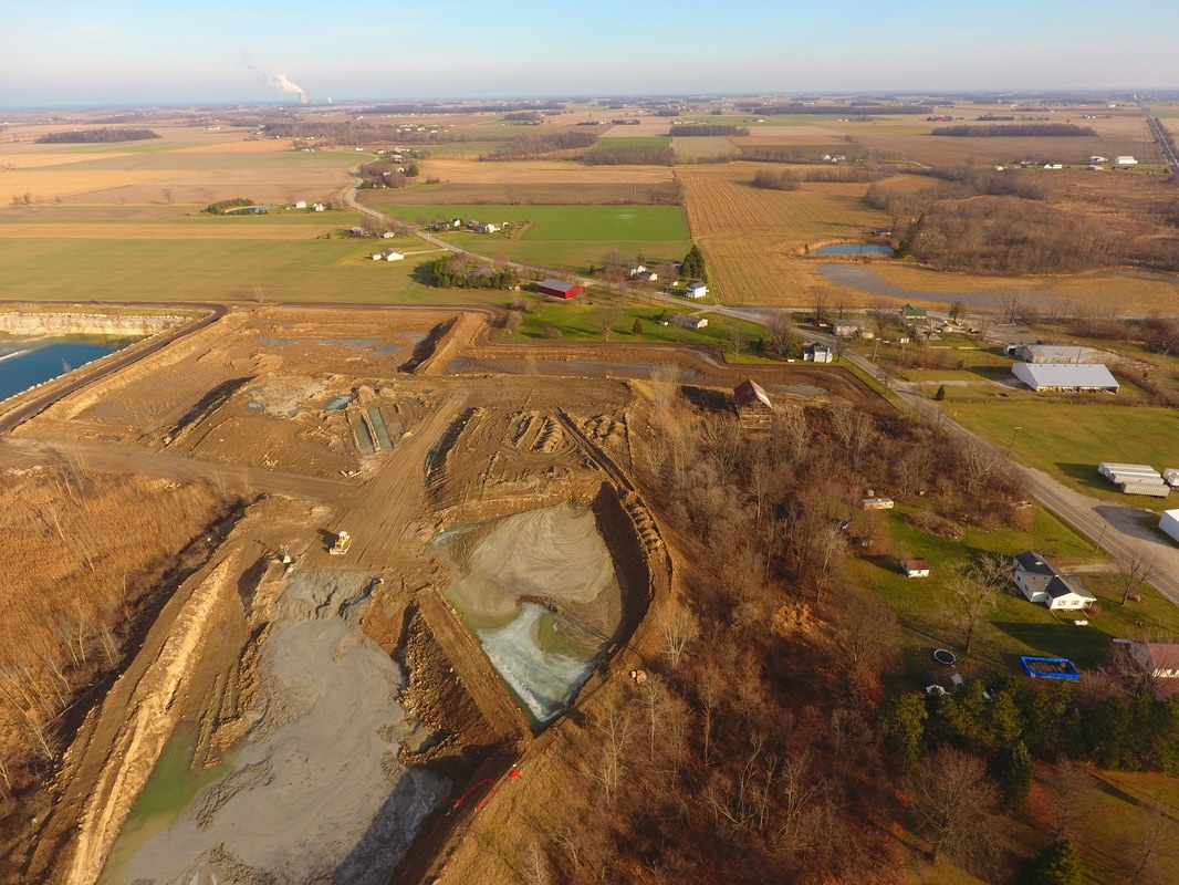
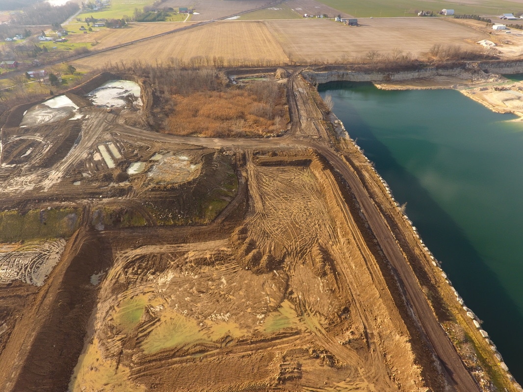
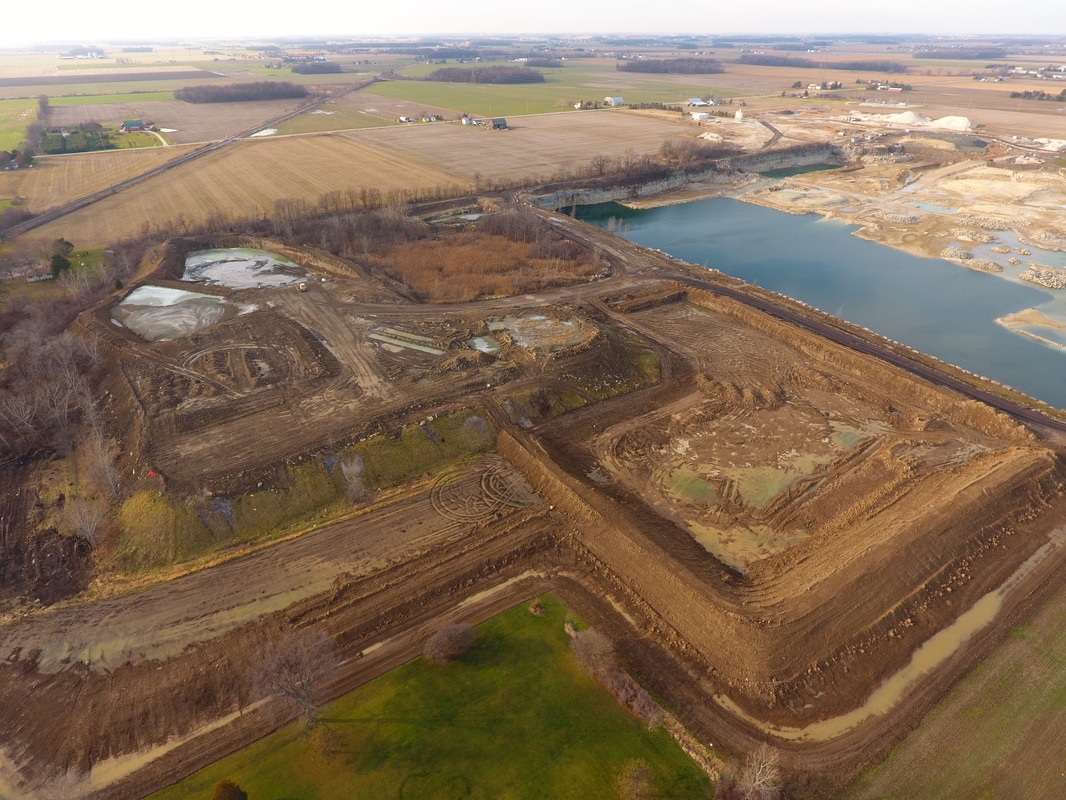
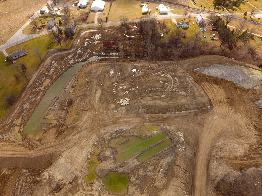
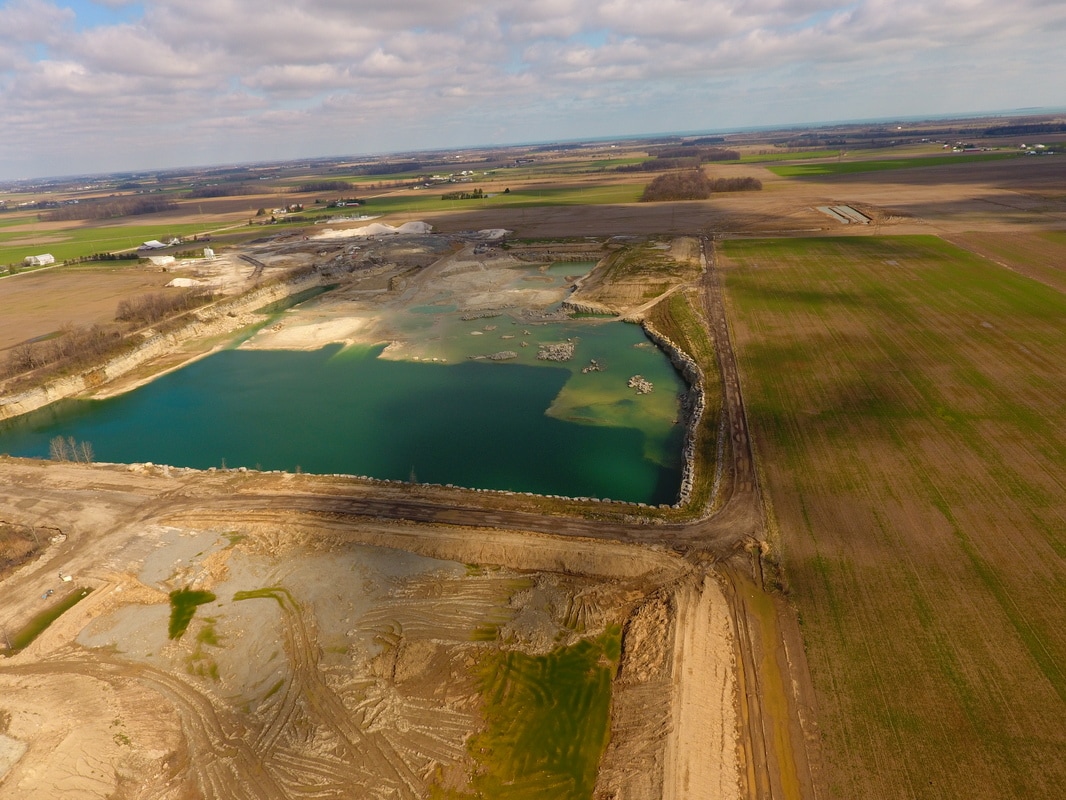
February 2017

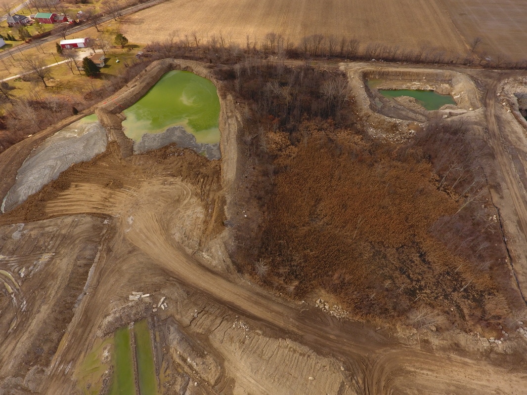


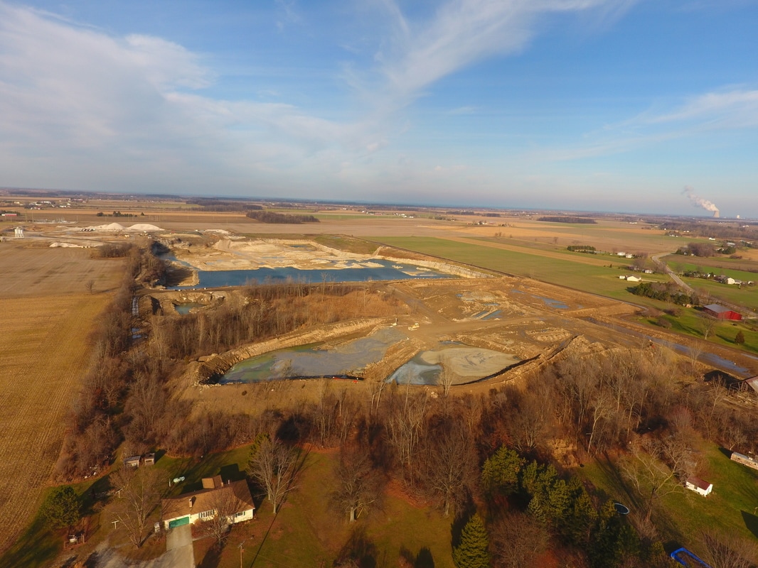
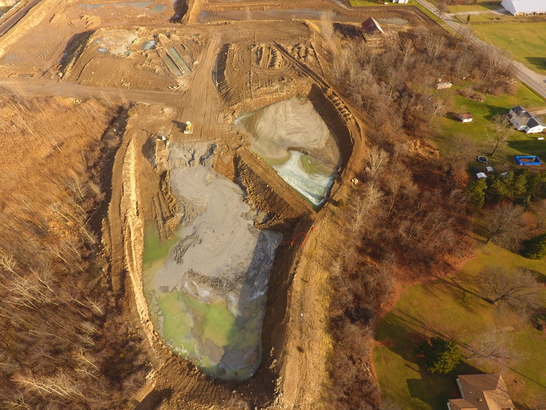
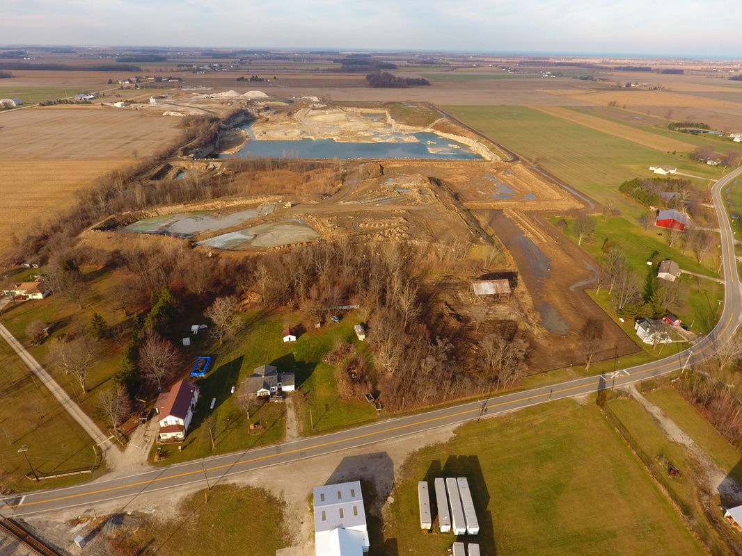
April 2017


June 2017


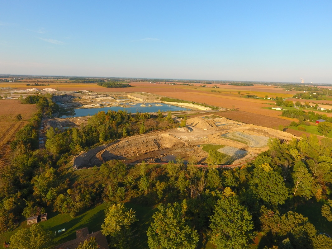
August 2017 (credit: Frankly Visual Photography)


September 2017 (Frankly Visual)

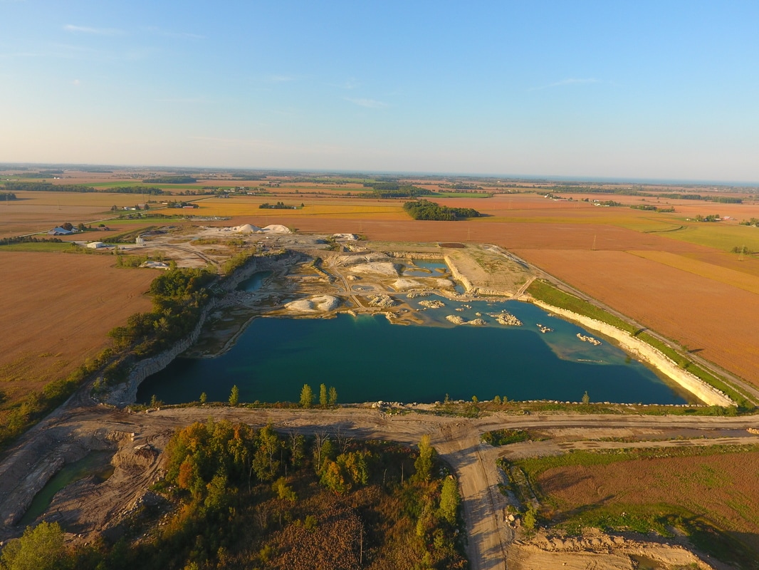
November 2017 (Frankly Visual)